


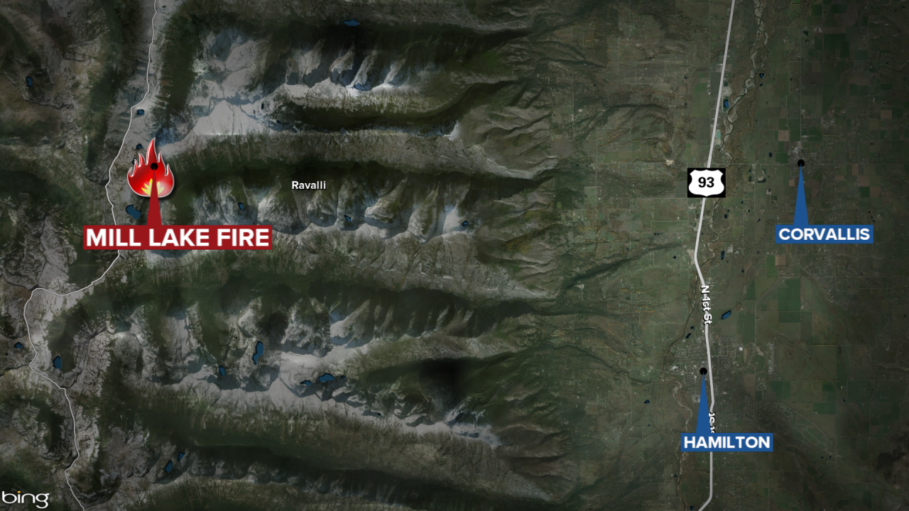
HAMILTON - A wildfire in the Bitterroot National Forest west of Corvallis has burned 450 acres.
The lightning-caused Mill Lake Fire is located 12 miles west of Corvallis up Mill Canyon.
Most of the recent growth has been to the north and south of the main fire area.
Tuesday's update also states there was little to no growth further down the canyon, from west to east (towards Corvallis).
Multiple helicopters conducted water bucket drops on the fire Monday and were effective at checking and slowing the fire's spread.
Firefighters are currently thinning brush and fuels along Sheafman Road and digging handline to tie into the Sheafman Creek trail system.
Additional resources have been ordered including a 20-person hand crew and engines. No structures or infrastructure are currently threatened.
The difficult terrain, snag trees, and no landing locations for helicopters is limiting the ability to safely place firefighters directly on the fire.
The following trails and roads are currently closed for public safety
Forest Trails:
- Mill Creek #364
- Cow Creek #3
- Hauf Lake #309
- Sears Lake #312
- Sheafman Creek #82
- Fred Burr #38 (from the Fred Burr Reservoir to intersection with Mill Creek Trail).
Roads:
- Cow Creek Road #438
