



MISSOULA — After a dry cold front blasted through the area over the weekend, temperatures sit about 10 to 15 degrees below normal. We will be warming up a few degrees each day through the end of the week until we are back up into the 90s by Friday.
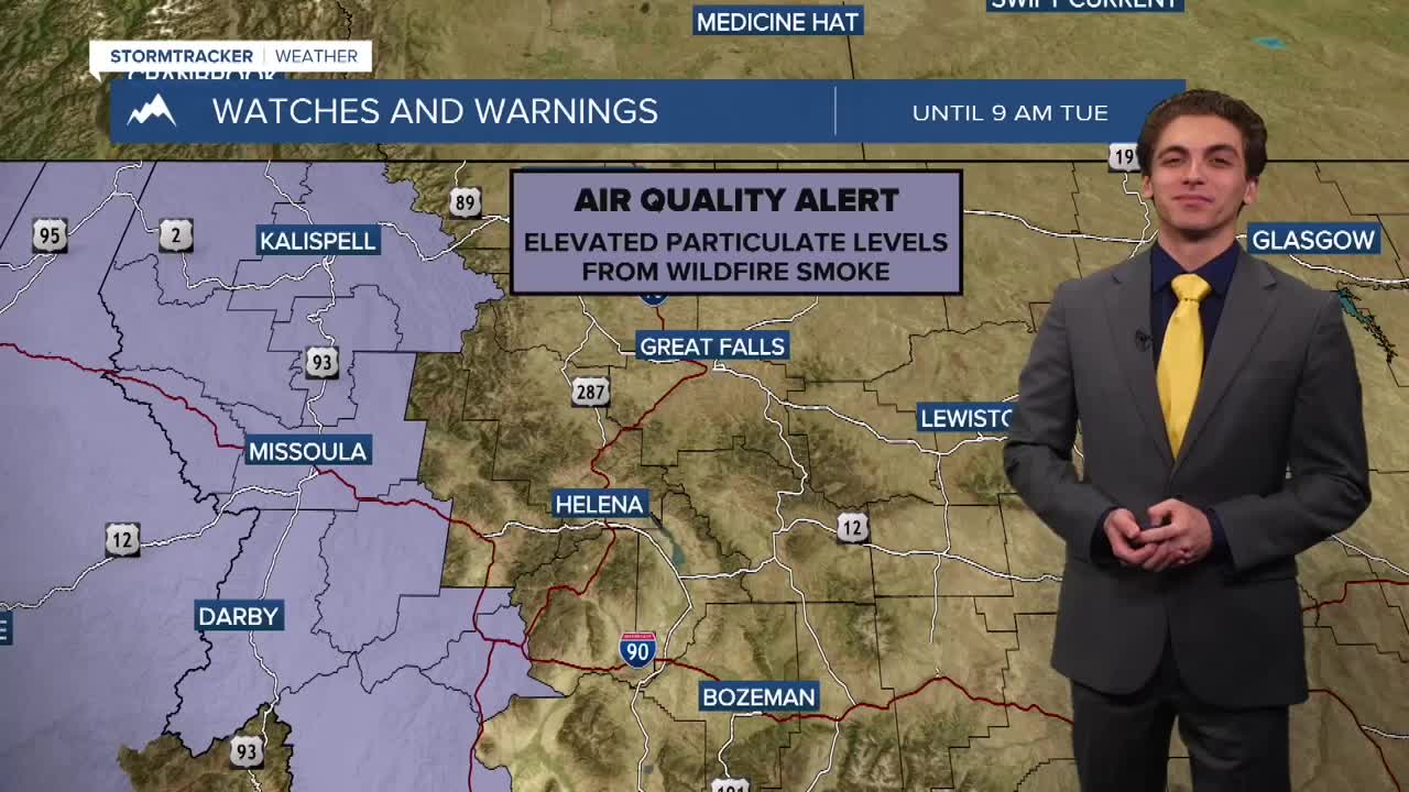
Thick wildfire smoke from Washington, Idaho, British Columbia, and Western Montana have created unhealthy air at times from much of our viewing area. This thicker smoke will continue to push southward throughout the day and into tomorrow. Air quality should be better for northwest and west-central Montana by Tuesday. Some smoke may get caught up in the Bitterroot Valley for slightly longer.
There will be more opportunities for smoke to come into our region throughout the week with westerly flow aloft developing by midweek.
The chance for rain remains at 0% for this week, with no hints of moisture coming back into the picture until the beginning of next week.
We will be watching Friday and Saturday to be another significant stretch for fire weather. Winds will be picking up once again, with gusts around 20 to 30 MPH expected at this time.
——————————————————————————————————————————
MONTANA WEATHER ALERTS:

——————————————————————————————————————————


