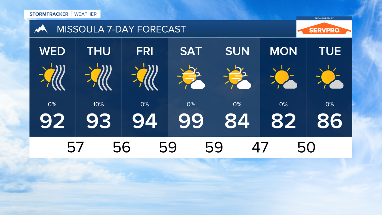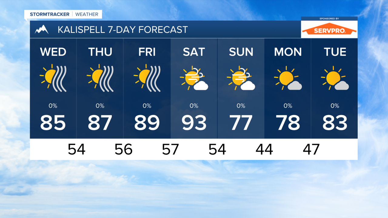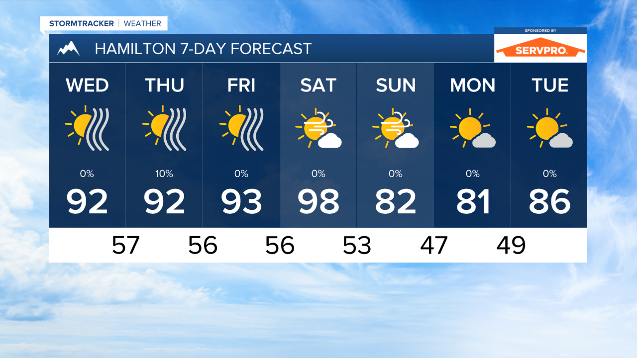


MISSOULA — Afternoon temperatures in the 90s will continue through Saturday, but a changing weather pattern will bring in near-normal to slightly below normal temperatures by Sunday. This will be some much needed relief from the heat.
High pressure will continue to dominate our weather pattern through the end of July. A trough of low pressure coming in from the west will bring change in the form of cooler temperatures and gusty winds.
Winds will pick up on Saturday when temperatures are still expected to reach the mid to upper 90s. Gusts could reach around 30 to 40 MPH. This will create critical fire weather conditions once again.
Even with temperatures dropping into the 70s and low 80s for highs on Sunday, fire danger remains high with wind gusts around 20 to 30 MPH.
This trough will not be bringing rain with it. The air will actually get drier once it comes into our area. The only chance for a few raindrops comes Thursday afternoon, when a stray shower or storm forms over the mountains.
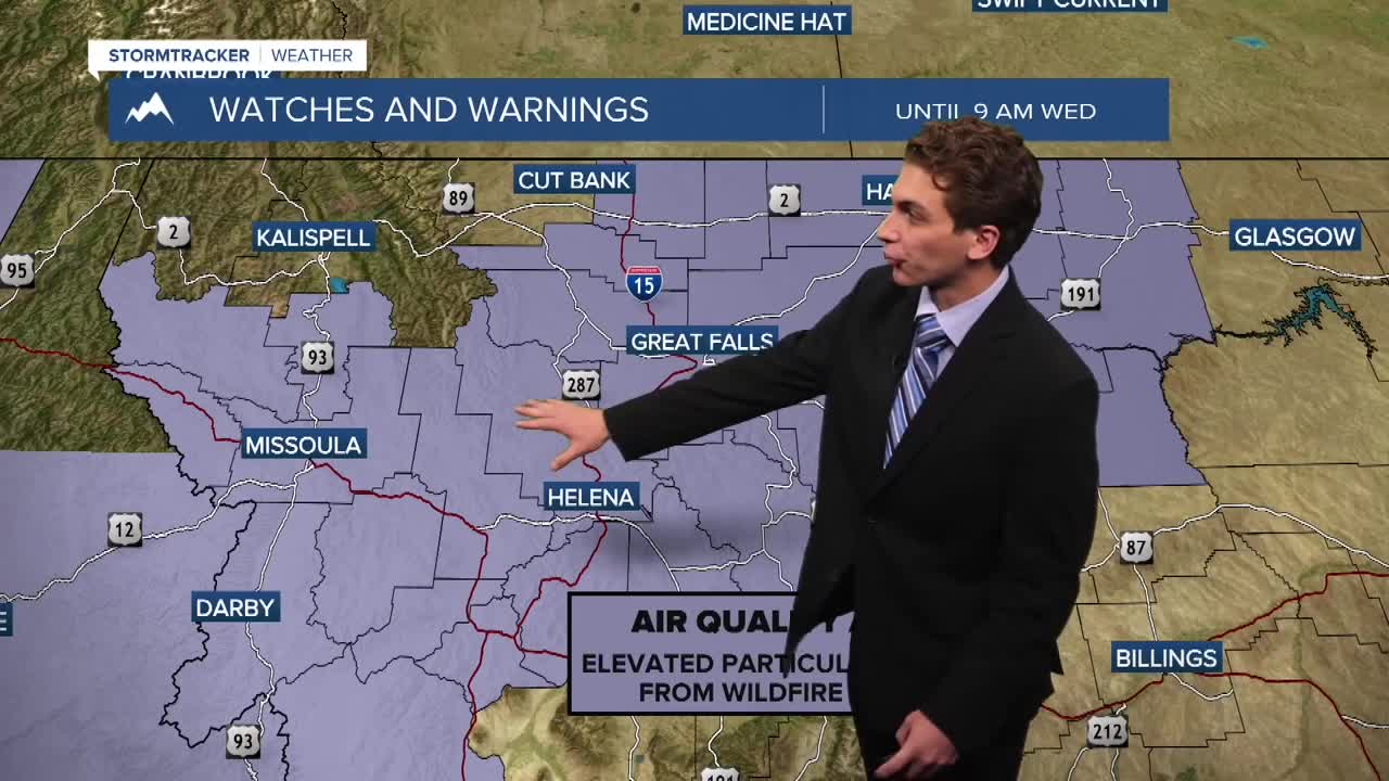
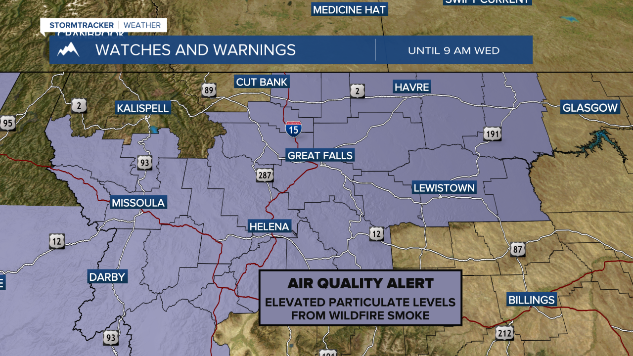
Wildfire smoke will continue to enter Montana from large fires in Oregon with southwest flow aloft over the next few days. Expect air quality to be impacted at times.
——————————————————————————————————————————
MONTANA WEATHER ALERTS:
——————————————————————————————————————————