

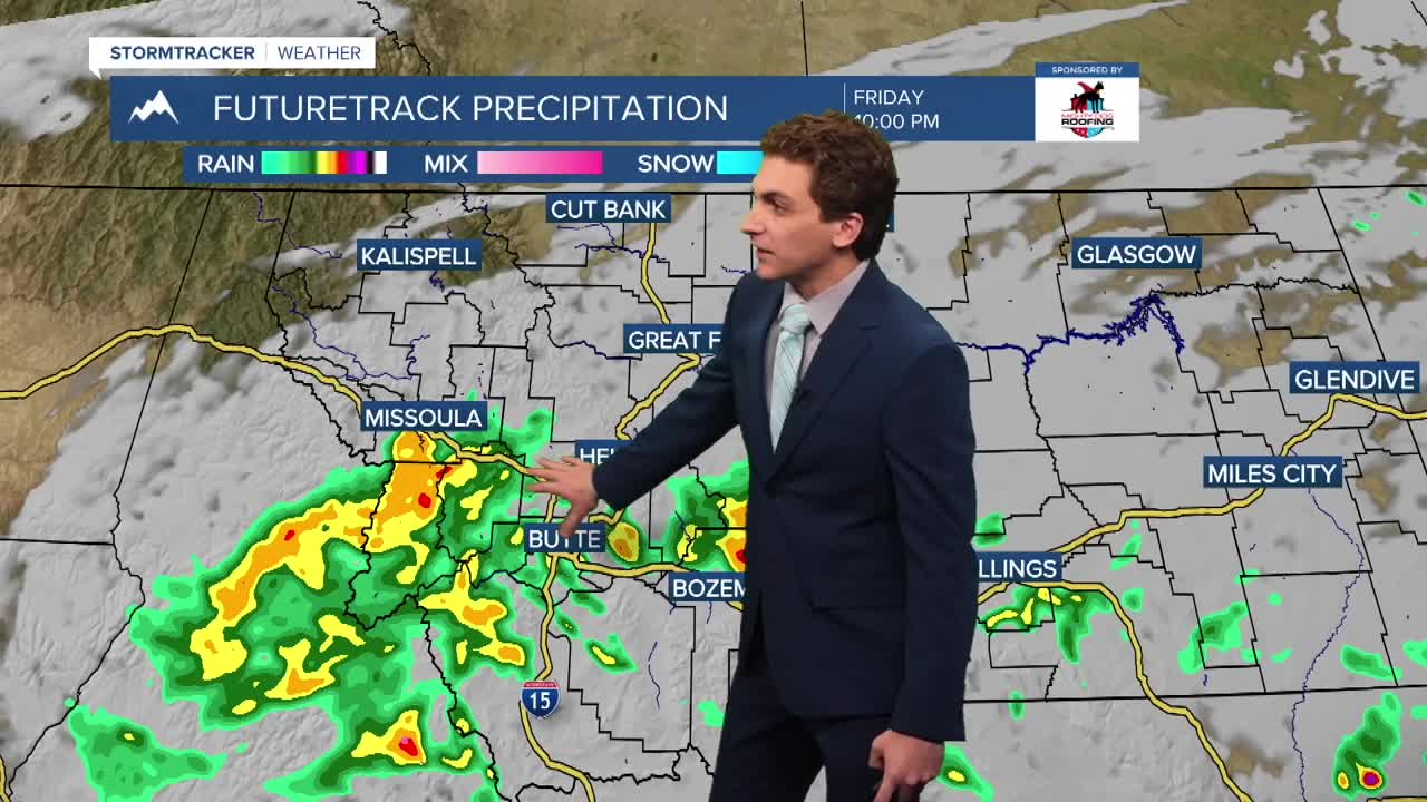


MISSOULA — Rain and thunderstorms are beginning to push from south to north this evening. The rain will reach as far north as the Missoula area before the storm motion switches to more of a east-to west mover after dark. This will leave most of the Mission and Flathead regions on the drier side of this system.
Rainfall totals are looking to be around 0.5" to 1.5" for most of the Bitterroot, with up to a half inch around Seeley Lake to the Missoula area to Superior.
Rain will stick around through Saturday morning before moving out Saturday afternoon. Only a few remaining light pop-up showers in the Bitterroot and Sapphire Mountains Saturday evening before everyone is dry and sunny on Sunday.
Next week will trend drier and warmer than normal with a ridge of high pressure building over the region. High Temperatures are expected to reach the mid 70s to low 80s through most of the week. It will feel summer-like for the start of Autumn.
——————————————————————————————————————————
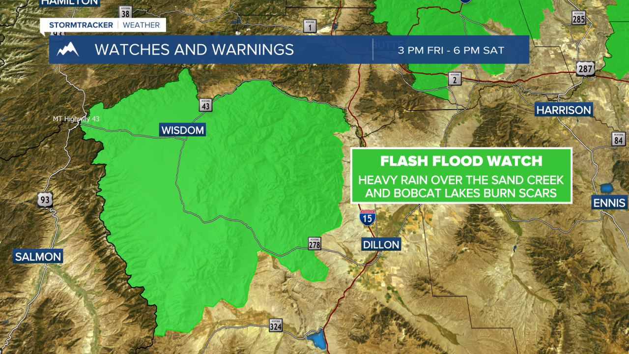
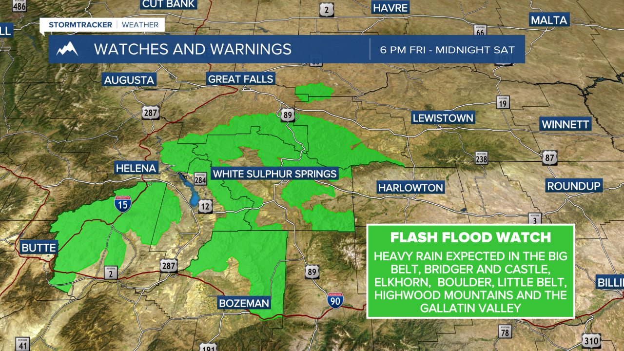
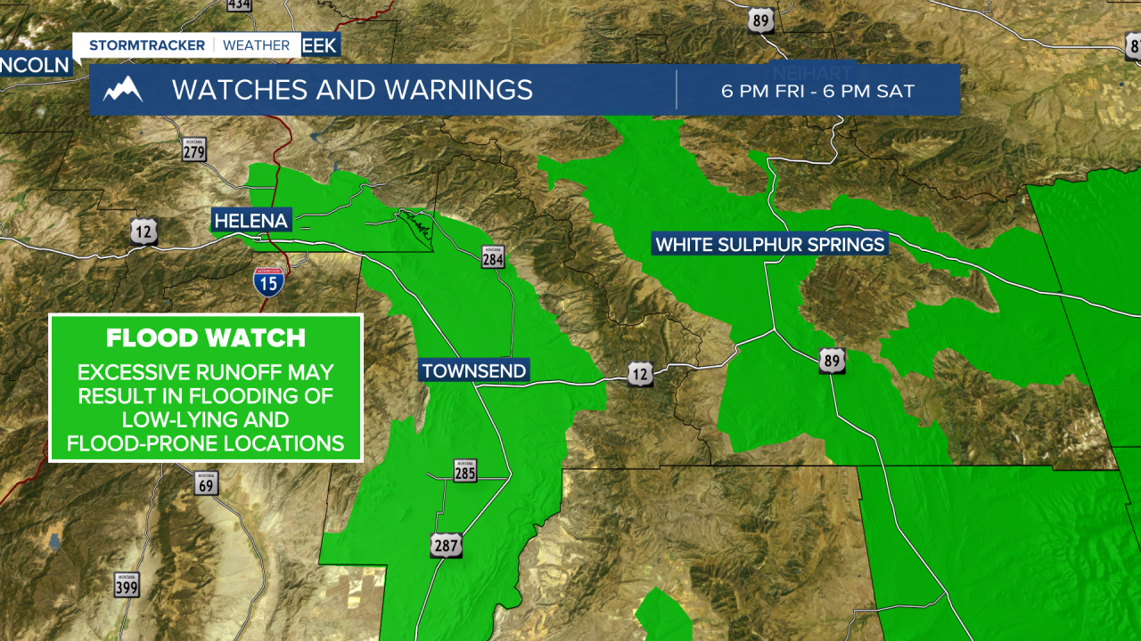
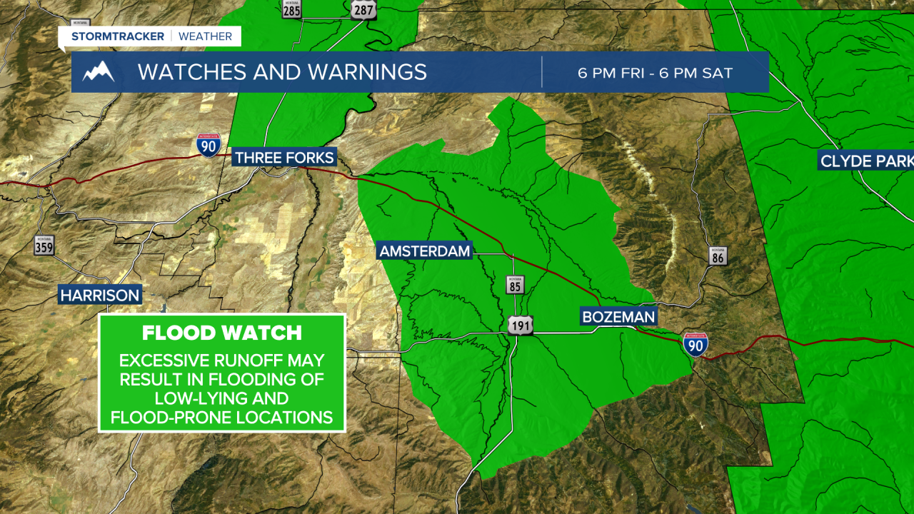
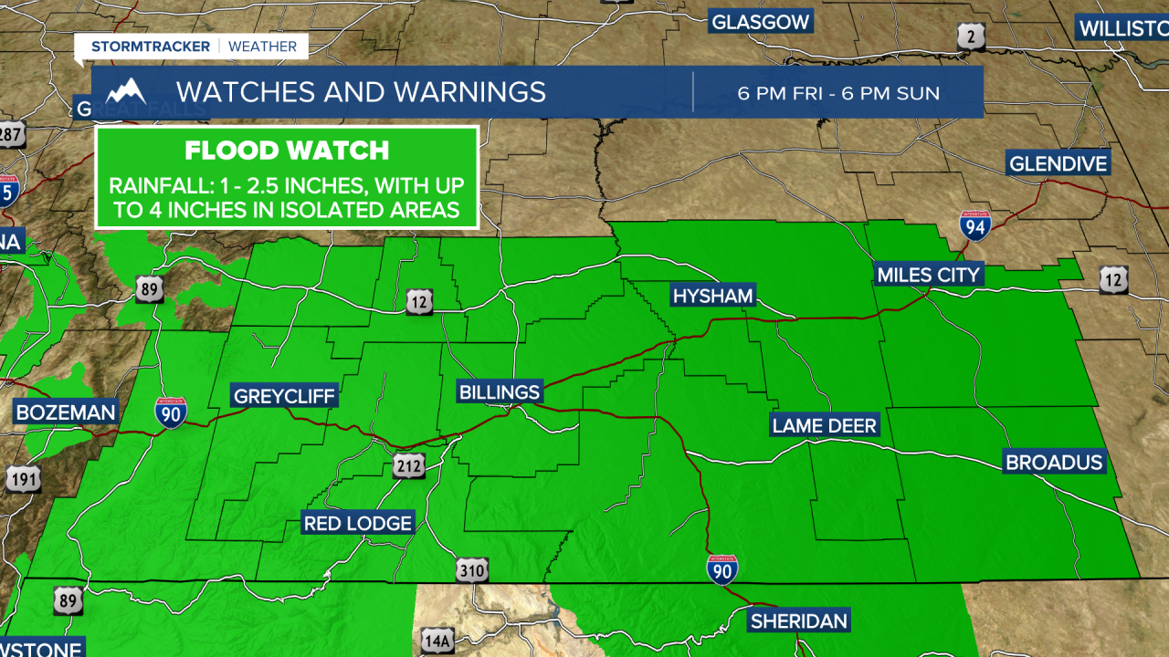
MONTANA WEATHER ALERTS:
——————————————————————————————————————————


