


MISSOULA — A surge of subtropical moisture will be bringing a significant amount of precipitation into the Northern Rockies beginning overnight tonight right into Wednesday.
The higher terrain will experience fairly hefty snowfall amounts by Wednesday evening.
The valleys, on the other hand, will encounter a wintry mix if not all rain as highs top out in the upper 30s to mid-40s Tuesday and Wednesday.
The risk of rock and mudslides will increase as well as the likelihood of standing water on roadways.
Snow levels will rise over 6,000 feet Tuesday late afternoon through Wednesday afternoon with a mix of winter travel conditions possible over area passes -- especially Tuesday morning and Wednesday evening.
The valleys of north-central Idaho could get over an inch of rain during this period, causing localized rock and/or mudslides.
Right now, a High Wind Watch is in place for all of western Montana from late Tuesday night through Wednesday evening.
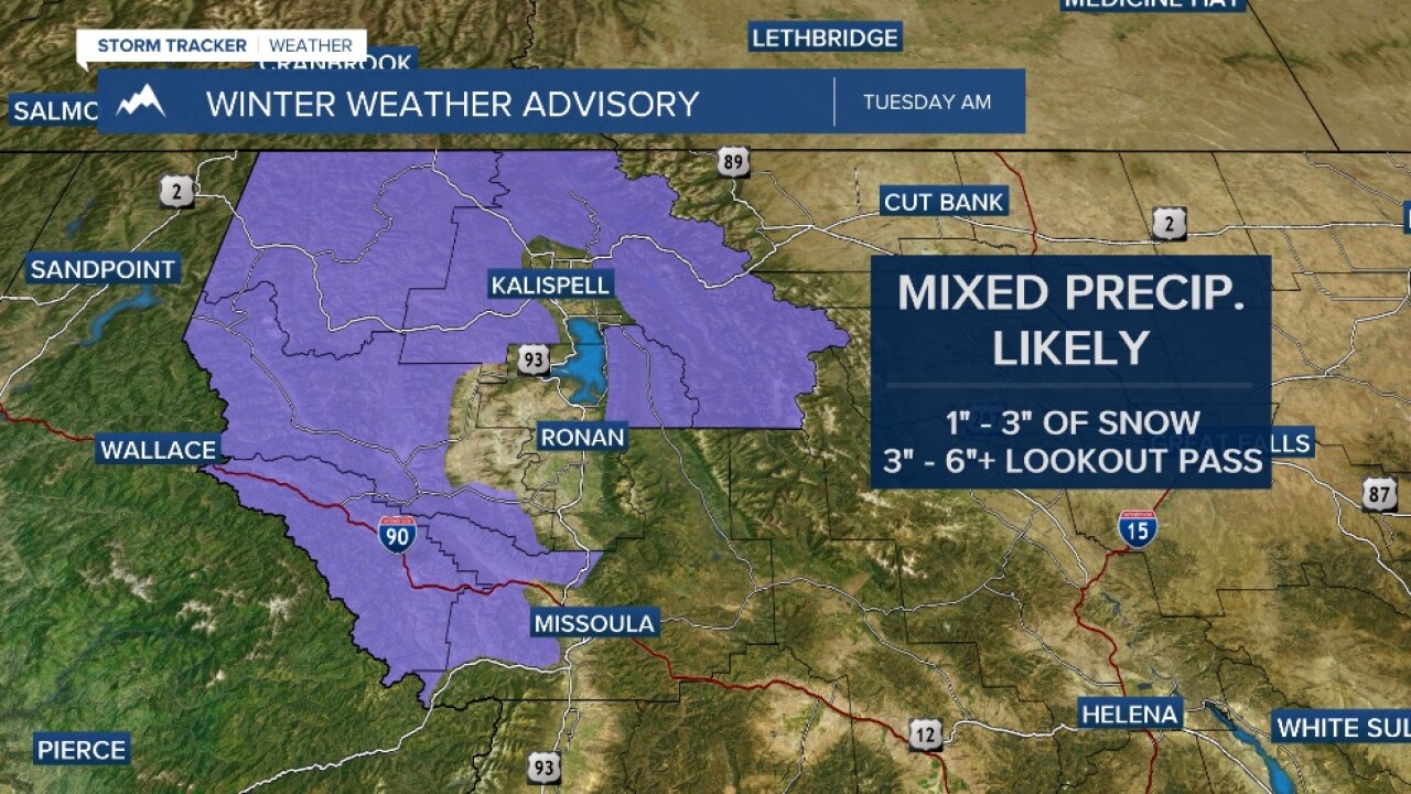
A Winter Weather Advisory exists for the first half of Tuesday for the Lower Clark Fork, Kootenai/Cabinet & West Glacier regions for the risk of mixed precipitation and 1”-3” of snow.
It looks like a cold front will sweep through Wednesday evening with snow levels dropping along with the temps.
Beyond that, fairly quiet conditions are likely with a mix of clouds and sun and highs in the 30s to low 40s.
