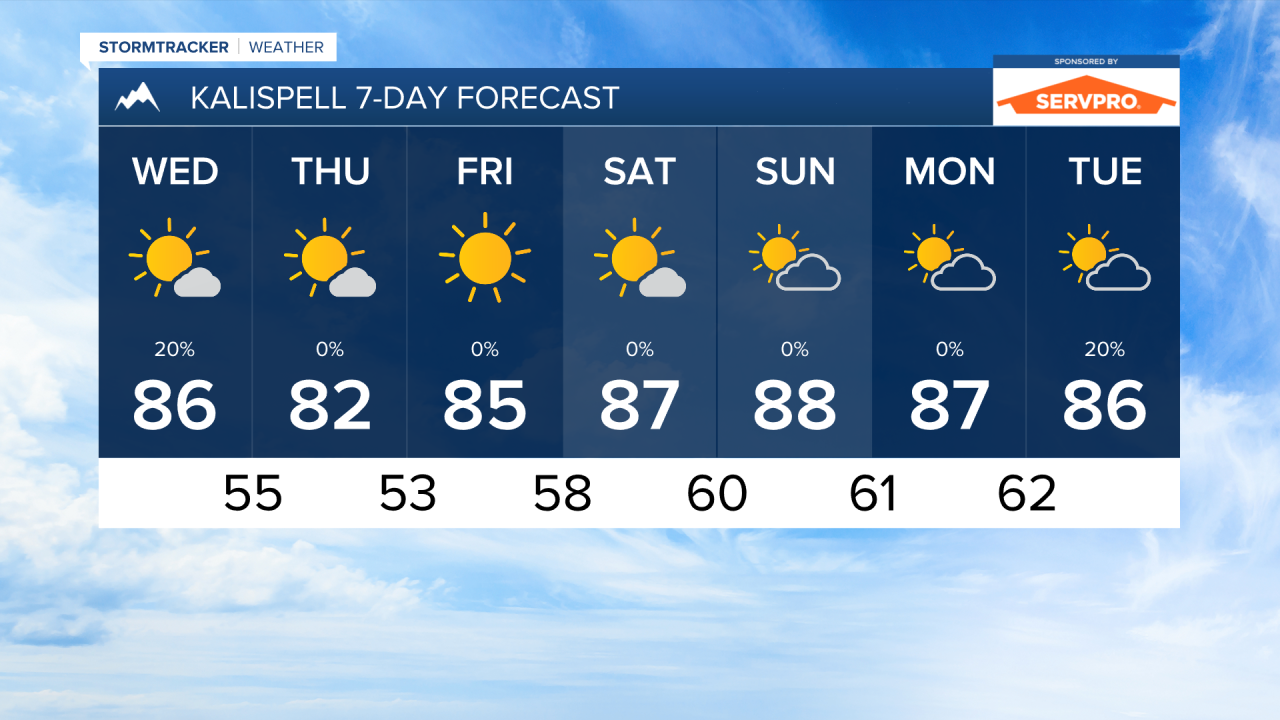


WEDNESDAY, JULY 8TH: A weak cold front will bring isolated thunderstorms back to the forecast. Afternoon wind gusts will reach 10-20 MPH for most of western Montana. With hot temperatures, relatively dry air, and gusty winds, expect fire weather conditions to increase. Highs will reach the 80s.
THURSDAY, JULY 9TH: Thursday will be dry, mostly sunny, and breezy. Again, expect fire danger to be increased. Afternoon temperatures reach the low to mid 80s. Afternoon wind gusts will be around 10-20 MPH out of the west.
FRIDAY, JULY 10TH: Expect clear skies with high temperatures warming into the upper 80s to low 90s. Wind gusts in the afternoon will be out of the west at 10 to 20 MPH.
SATURDAY, JULY 11TH: We will be seeing highs reach the low to mid 90s through most of western Montana. Be sure to drink plenty of water if you will be outdoors. We also expect the fire danger to be highest on Saturday with the hot, dry, and breezy conditions. We will be under mostly sunny skies.
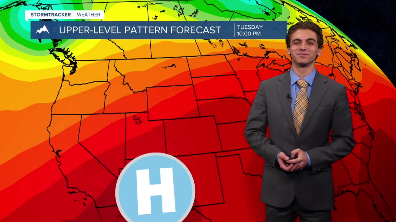
LONG-RANGE FORECAST: The weekend will feature highs across the state ranging from the low 90s in the west to about 110 degrees in the east.
——————————————————————————————————————————
MONTANA WEATHER ALERTS:

——————————————————————————————————————————
Missoula Temperature Records Tomorrow:
High: 101 (2017)
Low: 36 (1959)
AVG: 83/50
Kalispell Temperature Records Tomorrow:
High: 96 (2017)
Low: 37 (1957)
AVG: 80/47
Hamilton Temperature Records Tomorrow:
High: 98 (1989)
Low: 34 (1981)
AVG: 82/49