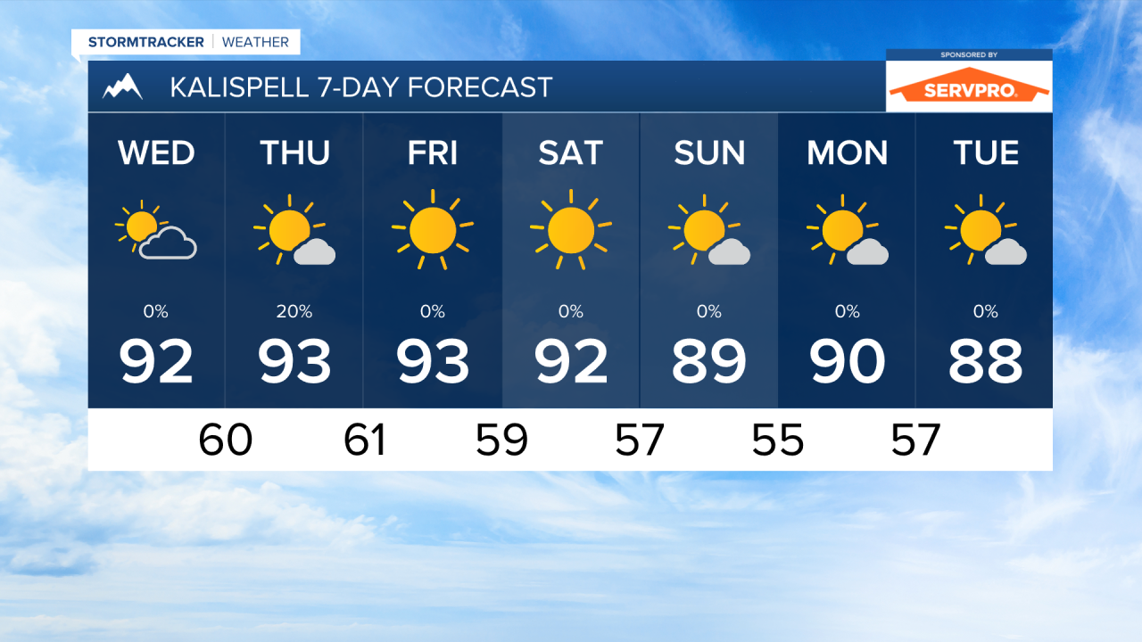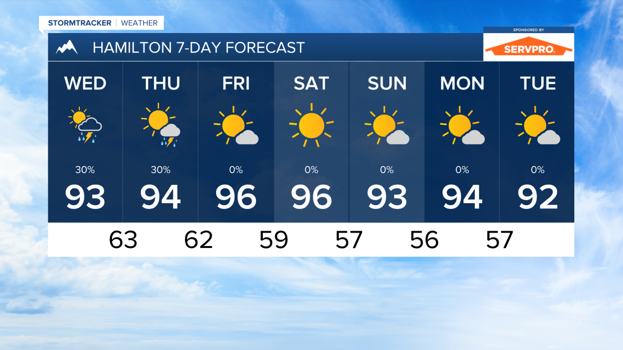


MISSOULA — Temperatures warmed into the upper 80s and low 90s across western Montana today. We will continue to see high temperatures increase slight each day until we are close to 100° in Missoula on Friday and Saturday.
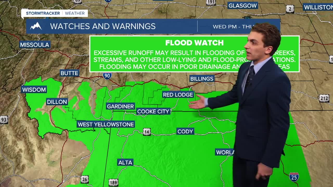
Another wave of monsoonal moisture will impact southwest and south-central Montana on Wednesday. Most of the heavy rain should develop south and east of the Bitterroot Valley. Due to a lack of winds in the mid levels of the atmosphere, these storms will move slowly over the higher terrain of southern Ravalli, Beaverhead, Madison, and Gallatin Counties.
Slightly stronger westerly flow aloft in west-central and northwest Montana should keep the heavier thunderstorms south and east of us, but an isolated storms are still possible over the next few days before drier air moves in on Friday.
With the drier air this weekend, expect the fire danger to increase with the combination of gusty afternoon winds reaching about 20 to 30 MPH west of the Divide. In conditions like this, fires have the potential to spread rapidly.
Light to moderate amounts of wildfire smoke will hang around this week. As westerly flow picks up later this week, we may see degrading air quality once again.
Drier and warmer-than-normal conditions will last through next week.
——————————————————————————————————————————
MONTANA WEATHER ALERTS:

——————————————————————————————————————————