

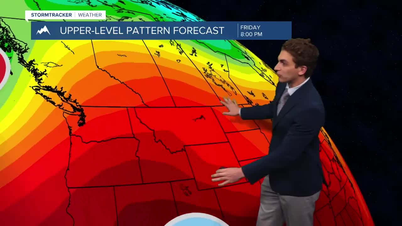


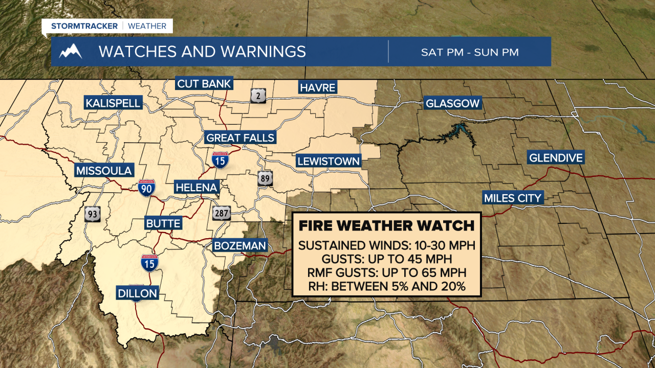
MISSOULA — The fire danger will once again increase this weekend as a dry cold front moves through the area, increasing the afternoon wind gusts to around 30 to 45 MPH. Any new or existing fires on Saturday and Sunday have the potential to spread rapidly.
Afternoon temperatures will remain in the upper 80s to mid 90s through the rest of the work week. They will max out in the upper 90s on Saturday ahead of the cold front, but we will see a 10 to 20 degree cool down by Sunday after the front passes through.
Wildfire smoke continues to impact the area. Even though air quality alerts were not reissued today, we really haven't seen that much of an improvement. The smoke will continue to be pumped into the area through at least Saturday.
Aside from a few dry thunderstorms moving through southwest and west-central Montana on Thursday afternoon and evening, we will remain without stormy weather through the middle of next week.
——————————————————————————————————————————
MONTANA WEATHER ALERTS:
——————————————————————————————————————————


