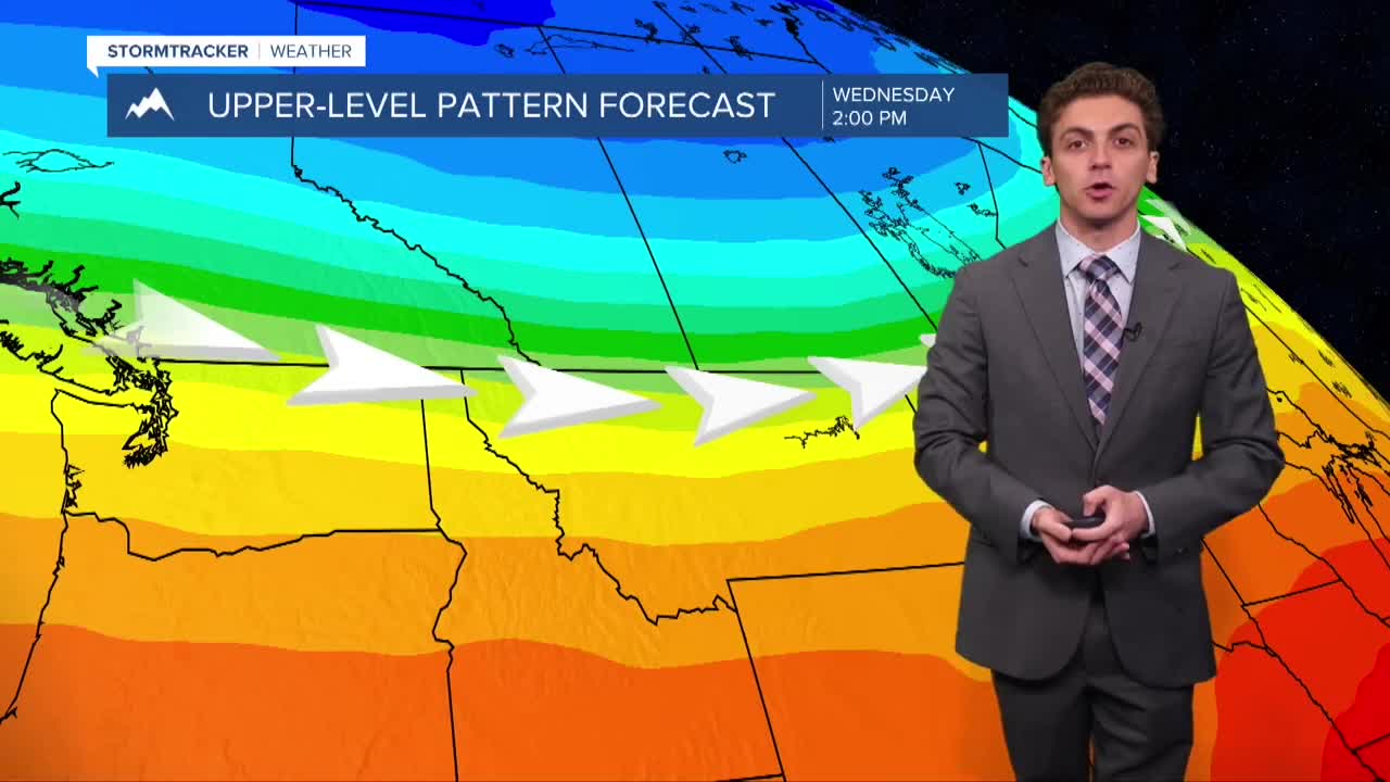


MISSOULA — Wind will pick up again, especially across northwest Montana, on Tuesday afternoon as an upper-level jet streak moves over our region. Maximum wind gusts could reach around 30 MPH.
The wind will create choppy lake conditions, especially for the Flathead.
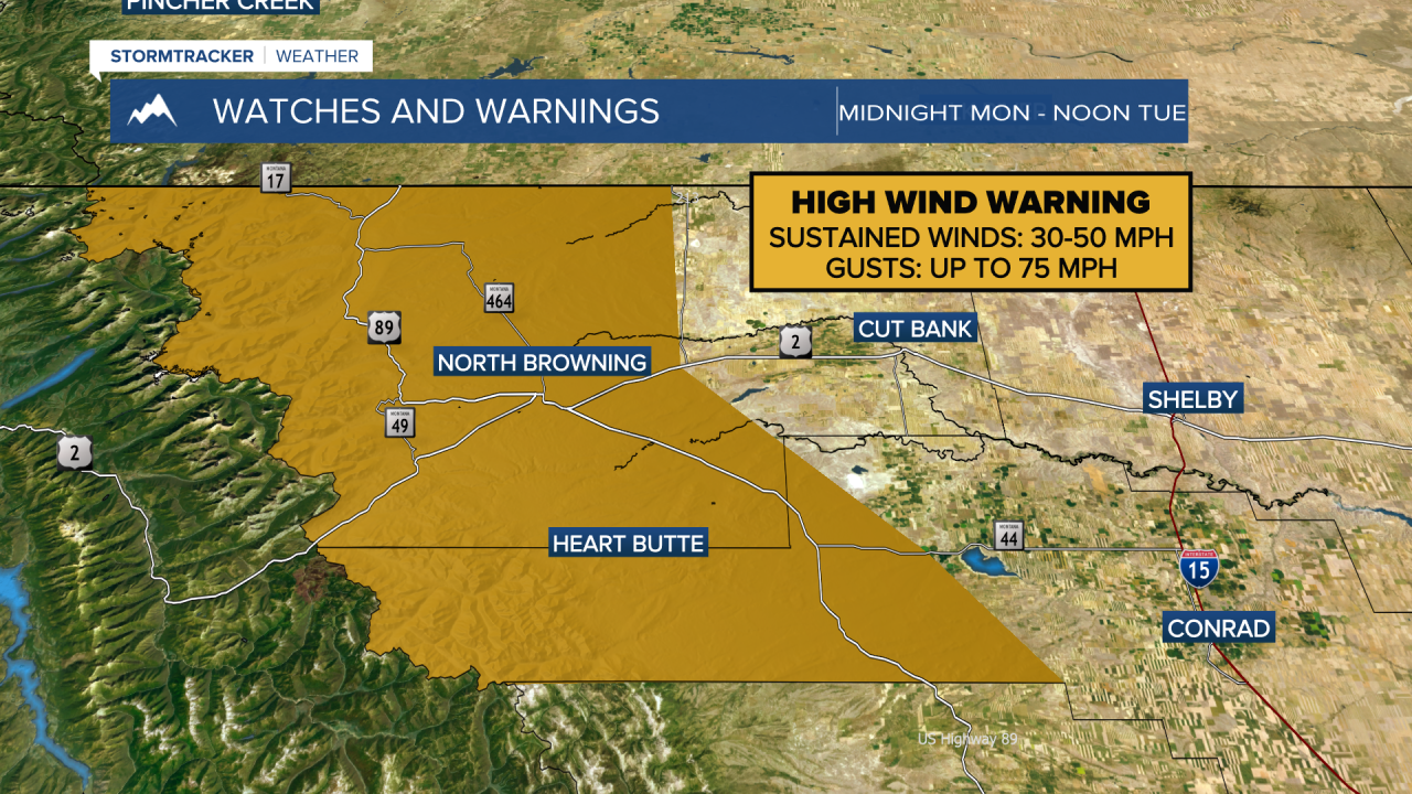
Stronger winds are expected east of the Continental Divide, where a High Wind Warning is in place for wind gusts up to 75 MPH near Browning and Cut Bank.
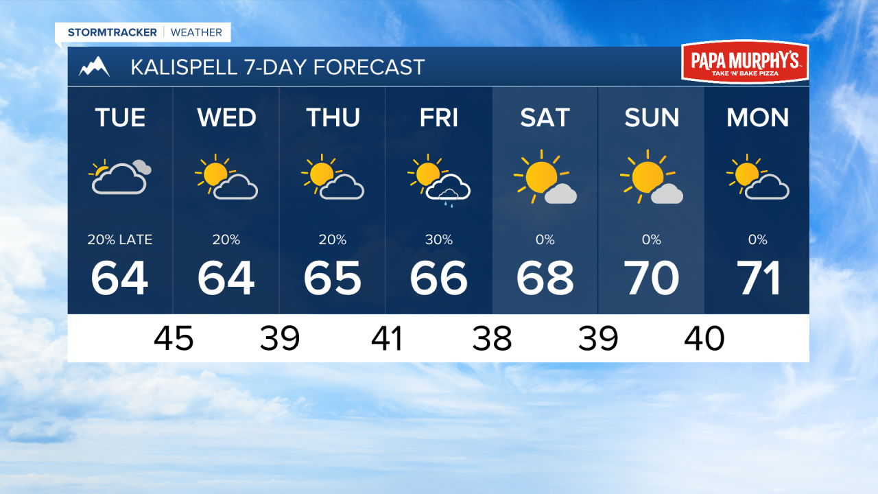
A couple of light showers may move through northwest Montana as a weak surface cold front slides southeast in the afternoon and evening. This will not produce any meaningful precipitation in the lower elevations.
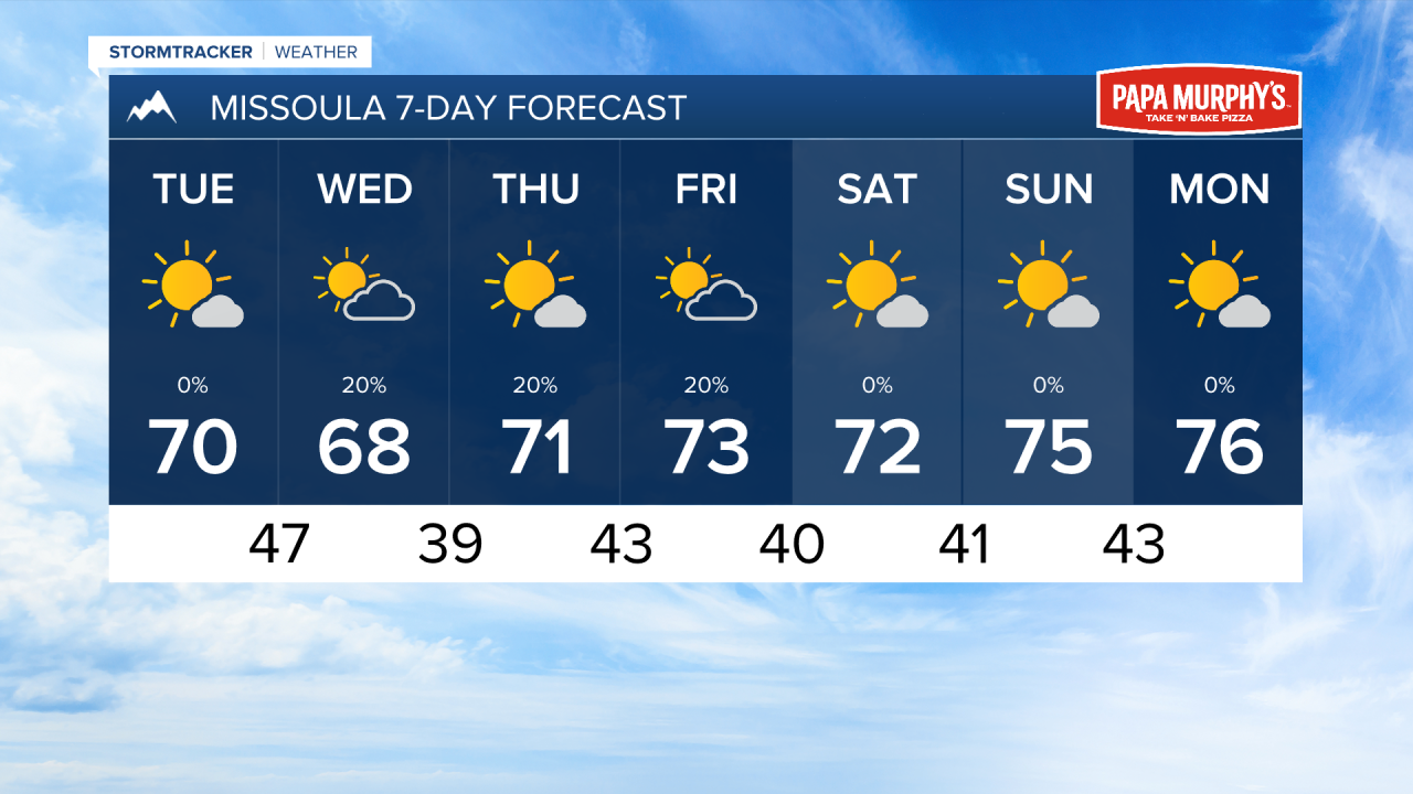
A wave of moisture moves over northwest and west-central Montana on Thursday and Friday. This will bring scattered light rain showers to areas like Kalispell, Missoula, Superior, Thompson Falls, and Libby.
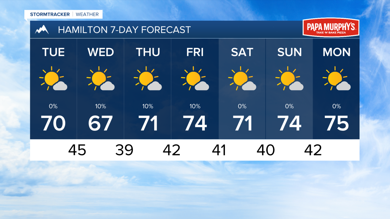
A ridge of high pressure begins to build over Montana by the weekend. This will cause temperatures to be warmer than normal and dry weather to set in next week. We could be looking at highs reaching the 80s once again next week.
——————————————————————————————————————————
MONTANA WEATHER ALERTS:
——————————————————————————————————————————