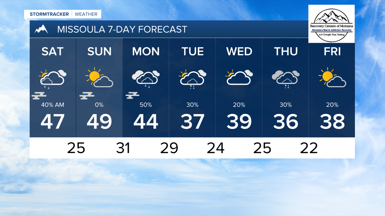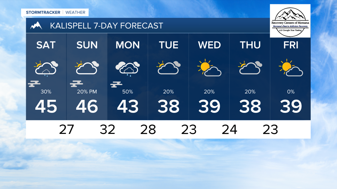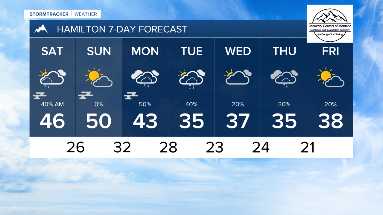


MISSOULA — A weak cold front is expected to move through western Montana tomorrow morning around 8 to 9 AM. This will bring scattered light rain showers and mountain snow showers. We should be dry by the afternoon. Rain totals will only reach up to 0.1" for most areas.
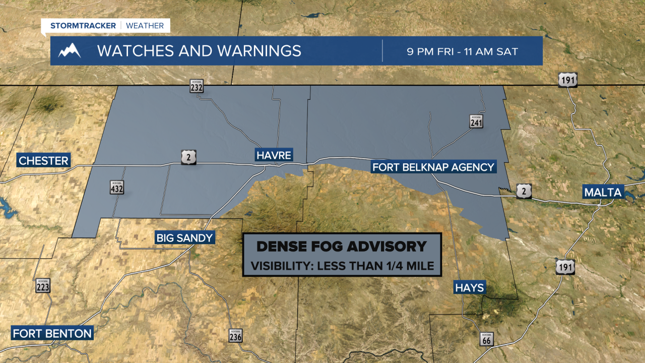
I still expect morning fog through Monday, but Inversions will not be quite as strong, so the fog will not be as widespread or last as long as it did on Thursday and Friday.
High temperatures will reach the 40s this weekend, but they will be coming down next week as a trough of low pressure begins to enter the region. Highs will only reach the 30s from Tuesday onward. Lows will dip into the 20s.
Another cold front will come through on Monday. This will bring more rain to a lot of the lower elevations. Wet weather sticks around through most of next week, with at least isolated showers every day. We will likely see the conversion from rain to snow by midweek as temperatures get colder.
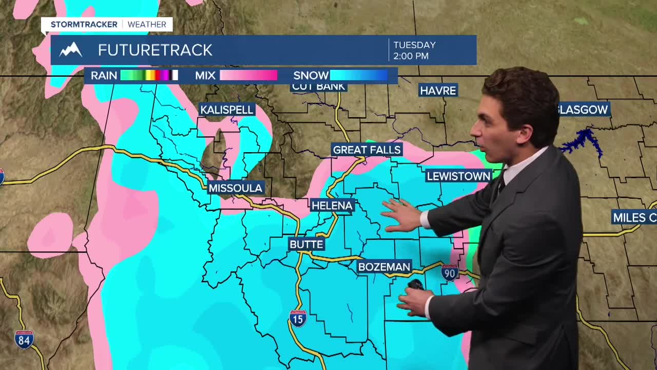
Forecast models are hinting at a bigger storm towards the middle of next week. Placement of the low is key to see lower elevations snow in the Missoula and Bitterroot Valleys. We will keep and eye on this through the weekend.
——————————————————————————————————————————
MONTANA WEATHER ALERTS:
——————————————————————————————————————————