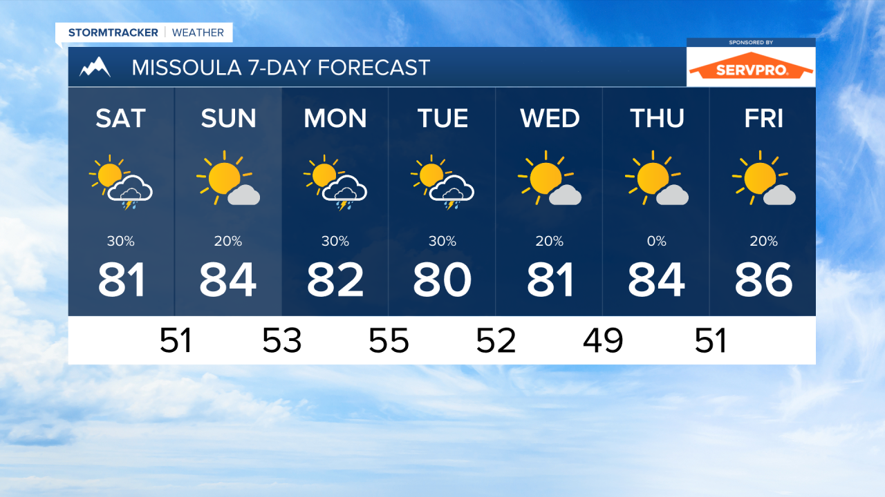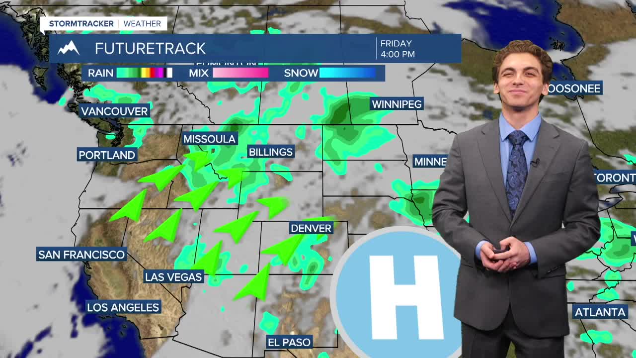


MISSOULA — Rain and thunderstorms are continuing to move through Montana on Friday. Another wave of moisture will allow isolated thunderstorms to develop in western and central Montana on Saturday afternoon. These storms could bring gusty winds and lightning. Maximum Wind gusts could reach near 40 to 50 MPH with some of the stronger storms.
Air quality will continue to be in the good to moderate category for most of the state through the weekend. We are watching the potential for smoke to be transported from Oregon with southwest flow aloft next week.
Temperatures will continue to be near to slight below average, with highs in the 70s and 80s, through the weekend and into next week.
Stormy weather will stick around through Monday and Tuesday. A brief dry period takes hold towards the middle of the week, then storms return on Friday.
——————————————————————————————————————————
MONTANA WEATHER ALERTS:

——————————————————————————————————————————