

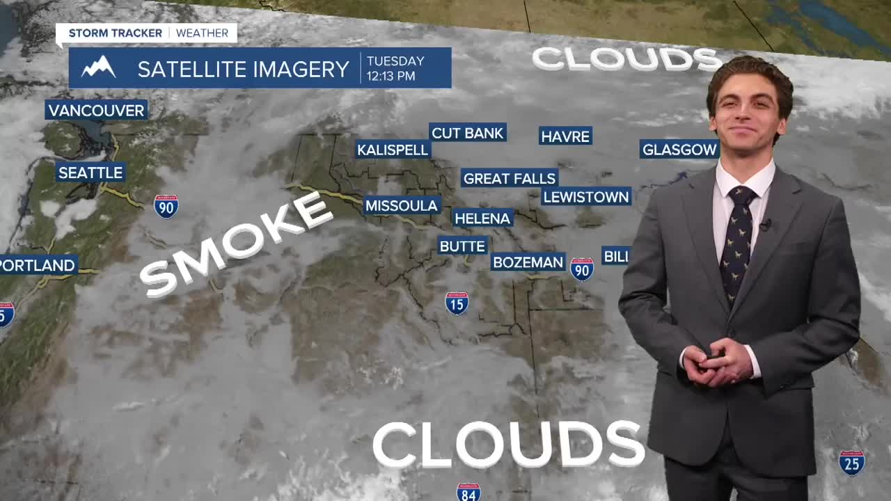


MISSOULA — Yet another day of poor air quality across the valleys of western Montana resulted in unhealthy conditions for many. SOME, relief is on the way with a cold front moving from north to south Wednesday into Thursday. We won't see all of the smoke get blown out, but enough to see noticeable change from the beginning part of the week to the end.
Fire weather conditions are high in southwest Montana once again today. We have see extreme growth and intensity in the Sand Creek Fire in the Pioneer Mountains, which has prompted numerous Evacuation Orders around Maverick Mountain Ski Area, Elkhorn Hotsprings, and Polaris. A Red Flag Warning is in effect for the area until 9 PM Tuesday.
The same cold front that is bringing cleaner air will also help some thunderstorms pop over northern Montana on Wednesday. This will be the start of a pattern change lasting into next week with wetter and cooler weather coming back into the picture.
It's mostly looking like daily low to medium thunderstorm chances over western Montana, with multiple reinforcing shots of monsoonal moisture moving in from the southwest. While we would rather a region-wide steady rainstorm, we will take what we can get. Some storms will be capable of gusty winds, heavy downpours, and lightning.
We will have one more day of high temperatures in the upper 80s before the cold front comes through, cooling us into the 70s and low 80s for the rest of the week.
——————————————————————————————————————————
MONTANA WEATHER ALERTS:


——————————————————————————————————————————


