


SATURDAY, JUNE 27TH: While there will still be showers around on Saturday, it is looking like we will be in between two storm systems in Missoula and the Mission and Flathead Valleys. Some more steady rain will impact the Bitterroot Valley throughout the day. The second wave of widespread moisture arrives late Saturday night. It still will be cool and cloudy with highs in the 60s. The wind will be out of the northwest at 10-20 MPH.
SUNDAY, JUNE 28TH: Another round of more consistent rain shower activity will come in towards the end of the day. Snow levels will drop to around 6500 feet. Accumulating snow is likely for the mountain ranges of southwest Montana and the Continental Divide.
Morning lows dip to the 40s for most areas, with some isolated higher elevation towns dropping into the 30s.
High temperatures will only reach the 50s for most areas, coming close to record minimum high temperatures for June 28th.
MONDAY, JUNE 29TH: Rain and snow wrap around the departing low through most of the day in western Montana. Highs only reach the 50s and low 60s. Snow levels will begin to rise in the late morning. It will be a soggy day yet again.
TUESDAY, JUNE 30TH: The storm system is finally out of our region, leaving partly cloudy skies and temperatures warm into the 60s and low 70s. Isolated showers and a thunderstorm or two is possible in the afternoon.
LONG-RANGE FORECAST: Temperatures will be on an upward trend through next week, but isolated to scattered thunderstorms will stick around in western Montana.
——————————————————————————————————————————
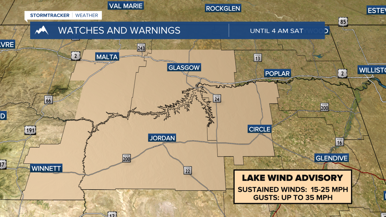
MONTANA WEATHER ALERTS:

——————————————————————————————————————————
Missoula Temperature Records Tomorrow:
High: 101 (2015)
Low: 33 (1976)
AVG: 77/48
Kalispell Temperature Records Tomorrow:
High: 97 (2015)
Low: 34 (1997)
AVG: 75/45
Hamilton Temperature Records Tomorrow:
High: 96 (2015)
Low: 34 (1976)
AVG: 77/47


