

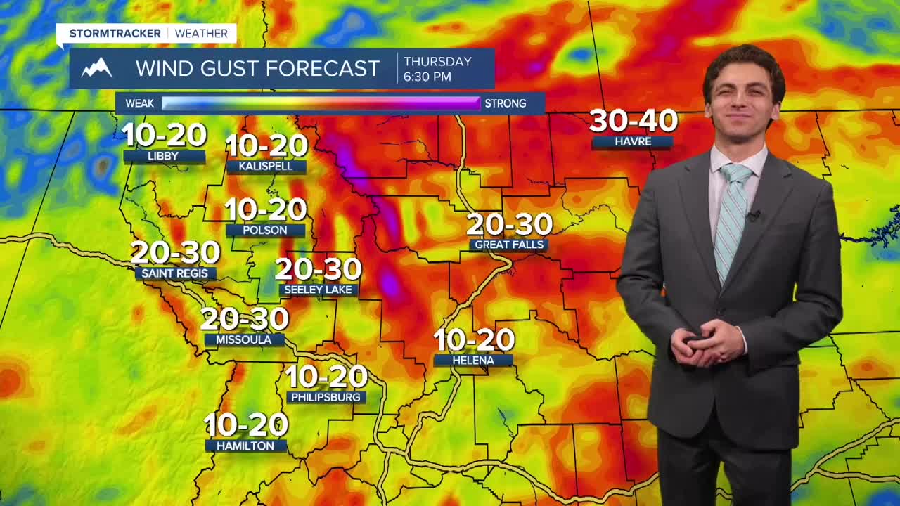


MISSOULA — A front will begin to move through western Montana early Friday morning bringing scattered rain showers. This front should be through most of our region by the time you start your day.
Expect more ind to develop in northwest and west-central Montana Friday night and Saturday out of the north. Wind gusts could approach 20-30 MPH yet again.
It will be a cool weekend for most, temperatures will not reach past the 50s and low 60s.
Saturday will be a soggy day for areas in northern Flathead and Lincoln Counties. Rain will slowly fill in to the rest of western Montana by Saturday night. Widespread wet weather is expected trough most of the day Sunday.
Snow levels will drop to about 6000 feet during this period. This is below some of our mountain passes. While snow will have a difficult time accumulating below about 8000 feet, you may run into a few flakes in your drive over the mountains.
Snow could reach a few inches in depth in the highest mountain peaks around western Montana by Monday morning.
Next week should be drier, but temperatures will remain on the cooler side.
——————————————————————————————————————————
MONTANA WEATHER ALERTS:

——————————————————————————————————————————


