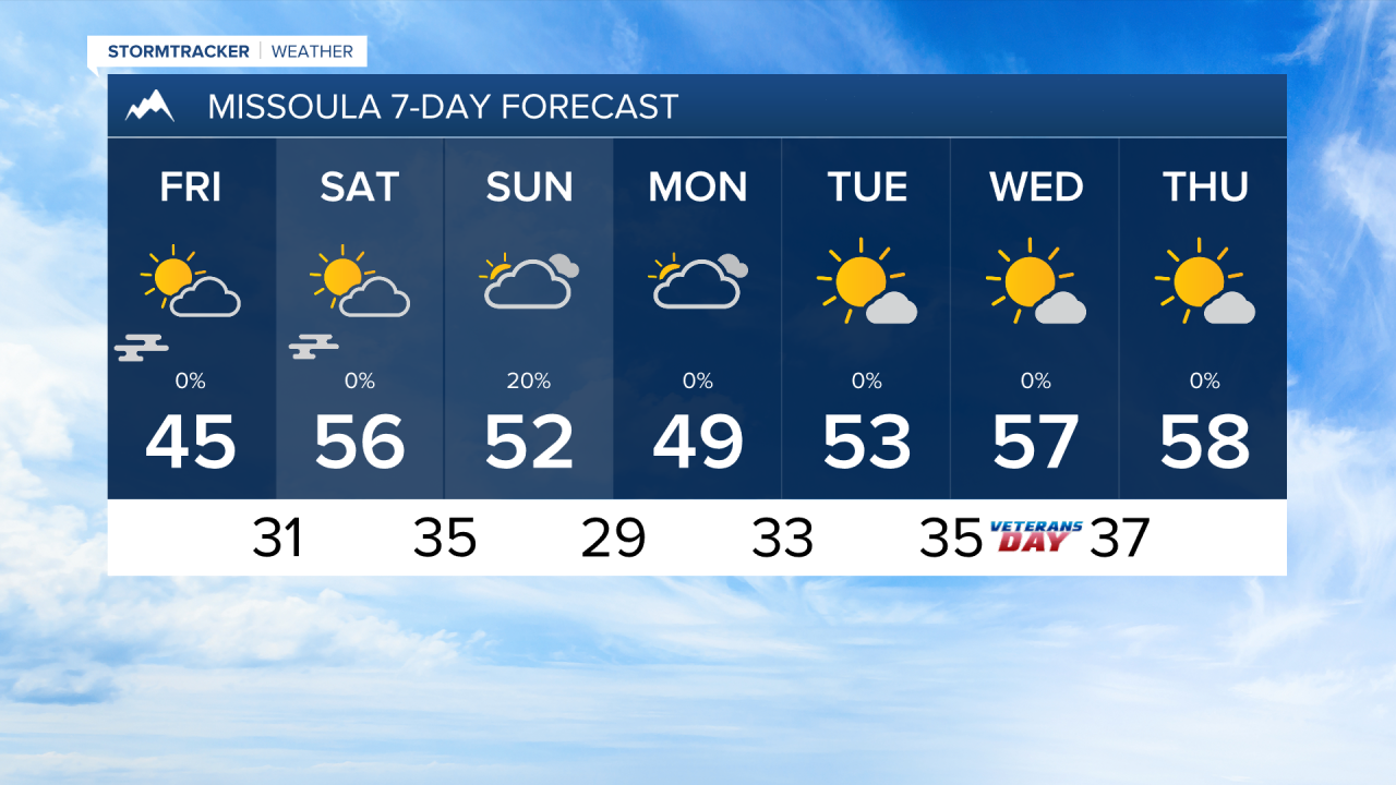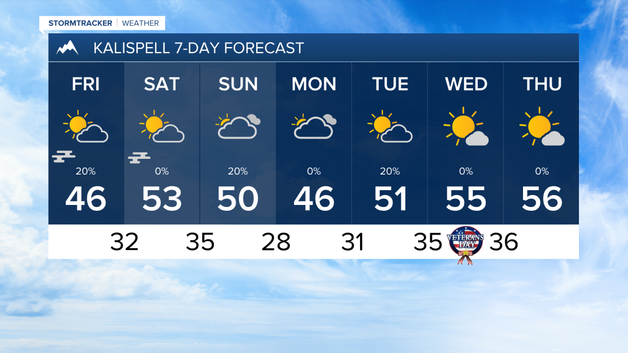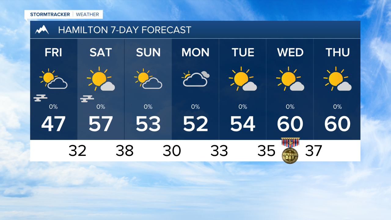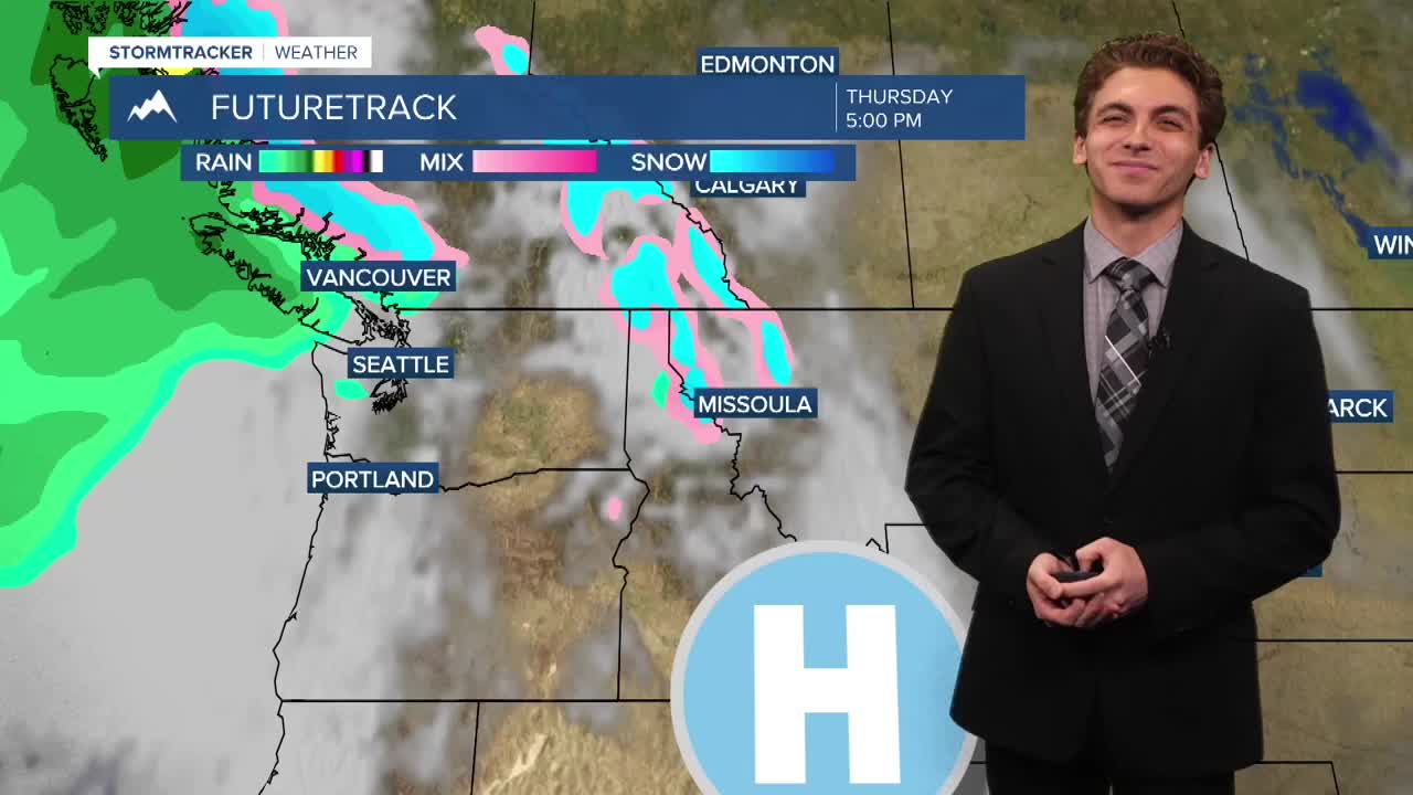


MISSOULA — Just a few passing rain and snow showers this afternoon will lead to dry conditions overnight, but expect valley fog to form once again by early tomorrow morning with valley inversion still in place with high pressure over us.
The fog burns off by tomorrow afternoon, leading to partly cloudy conditions with high temperatures in the 40s to even low 50s.
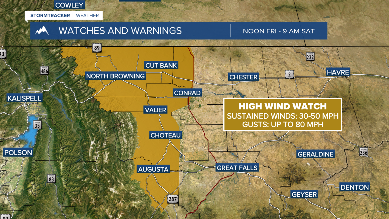
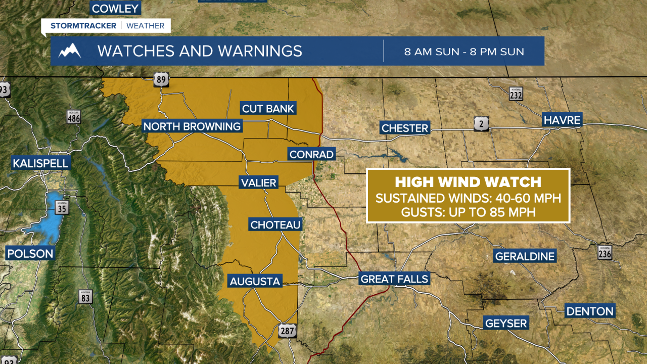
Another weak storm system moves in on Sunday. This will bring clouds and isolated rain and snow showers mainly near and north of Missoula. It will be a bit breezy in some locations as the inversions break. Peak wind gusts should reach around 20 MPH on Sunday afternoon. It will be much windier east of the Continental Divide.
Models point to a ridge of high pressure building over the western United States next week. That would lead to warmer afternoon temperatures and morning valley inversions setting back up.
——————————————————————————————————————————
MONTANA WEATHER ALERTS:
——————————————————————————————————————————