

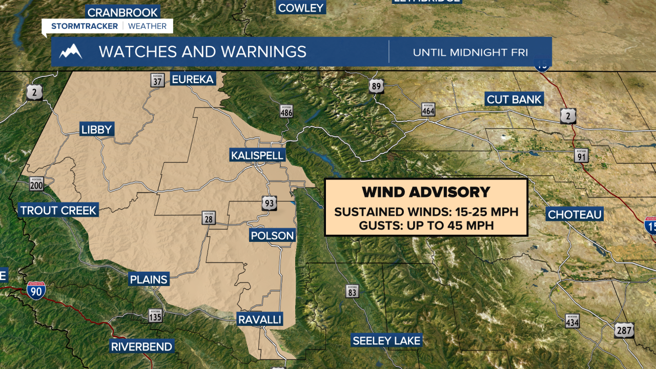
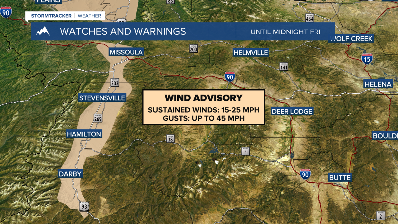
MISSOULA — Wind Advisories are in effect for most of western Montana until midnight Friday, where gusts could reach up to 45 MPH. While the wind won't be as intense on Saturday, expect afternoon wind gusts to reach up to 20 MPH for most locations. The wind will be calm on Sunday.
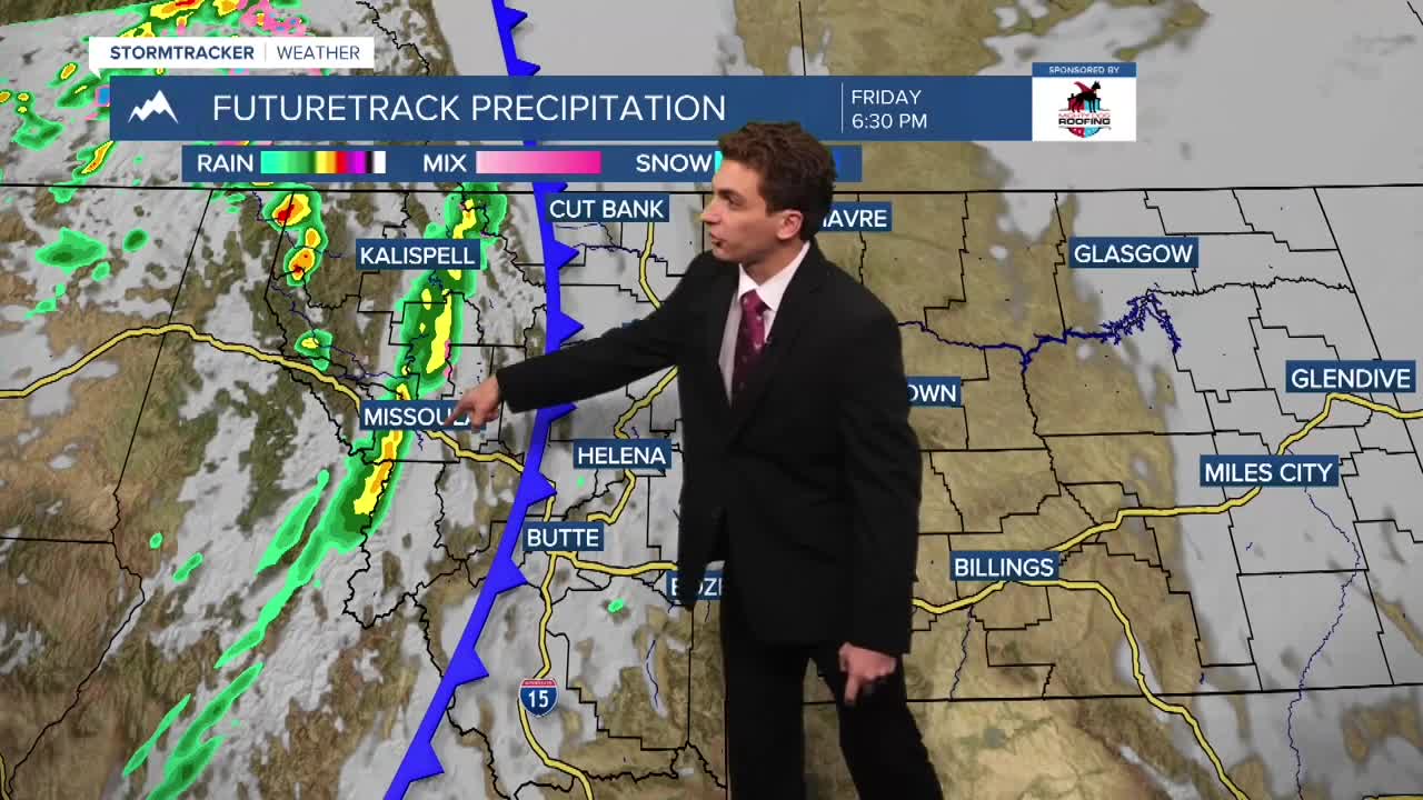
A few rain showers will come in behind our cold front tonight. This will not produce much in terms of accumulation, with most areas staying below 0.1". The best chance for rain is in northwest Montana.
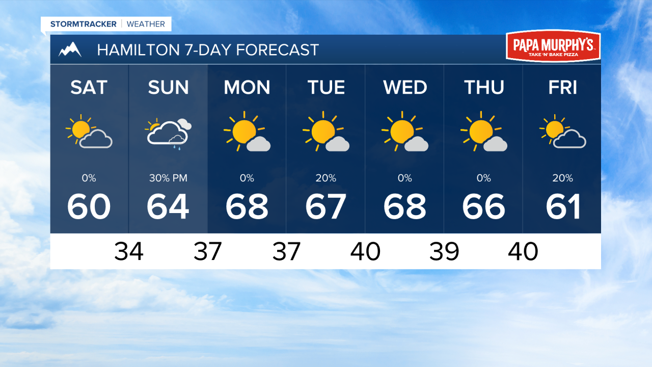
Saturday will be dry, but limited moisture will move back into southwest Montana and the Bitterroot Valley. This does not look like anything to ruin outdoor plans.
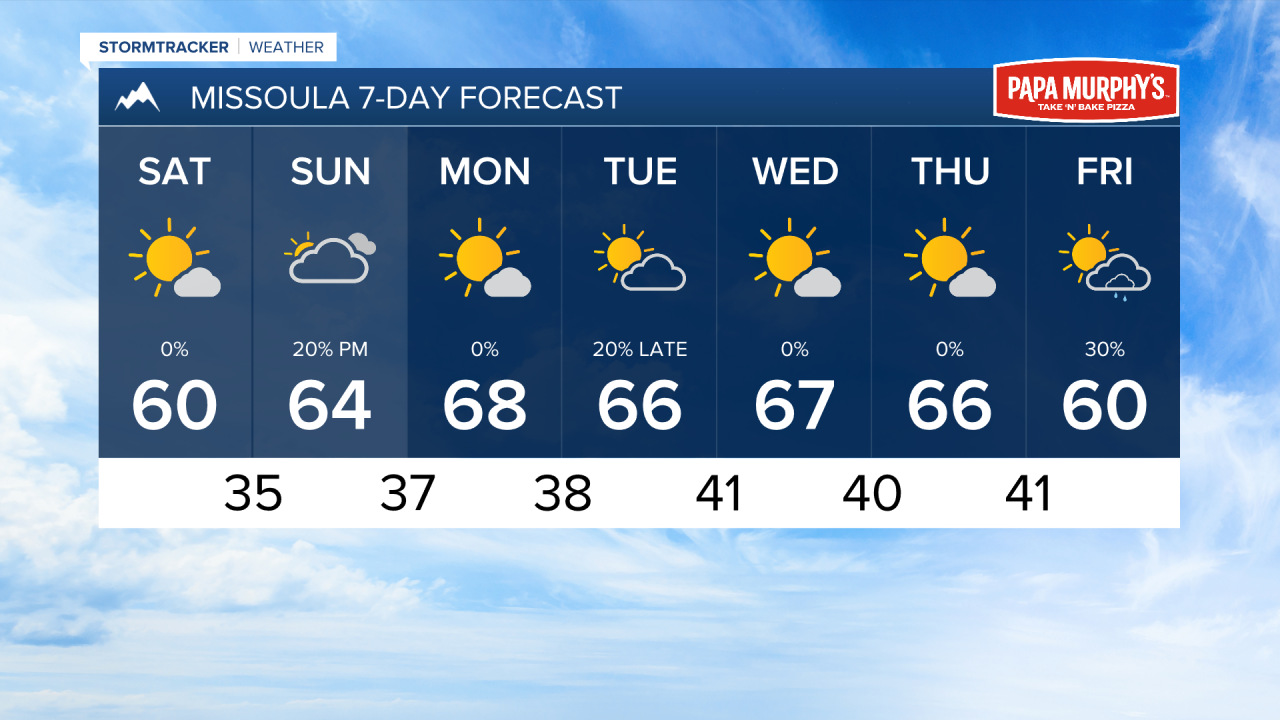
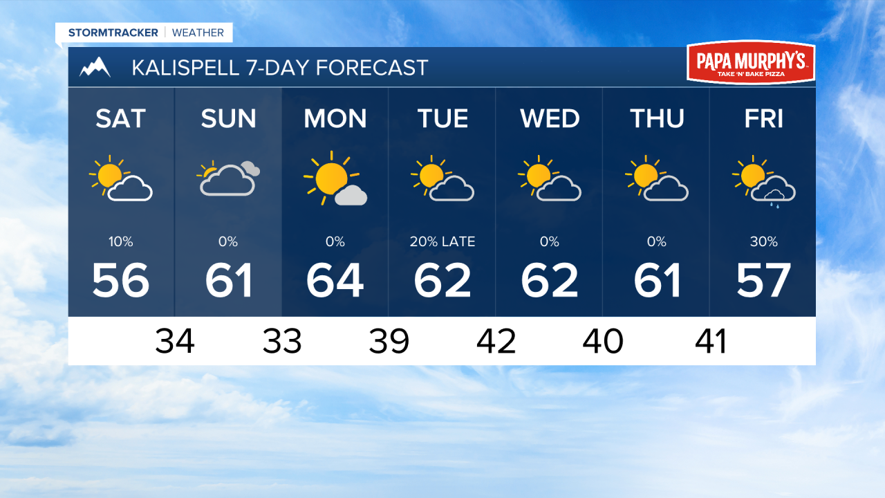
Temperatures will be much cooler this weekend with highs only reaching the 50s and low 60s. Lows will dip into the 30s, increasing the likelihood for frost to develop, especially in higher elevations.
Most of next week will feature highs in the 60s with partly to mostly sunny skies. The next true weather-maker won't arrive until next weekend.
——————————————————————————————————————————
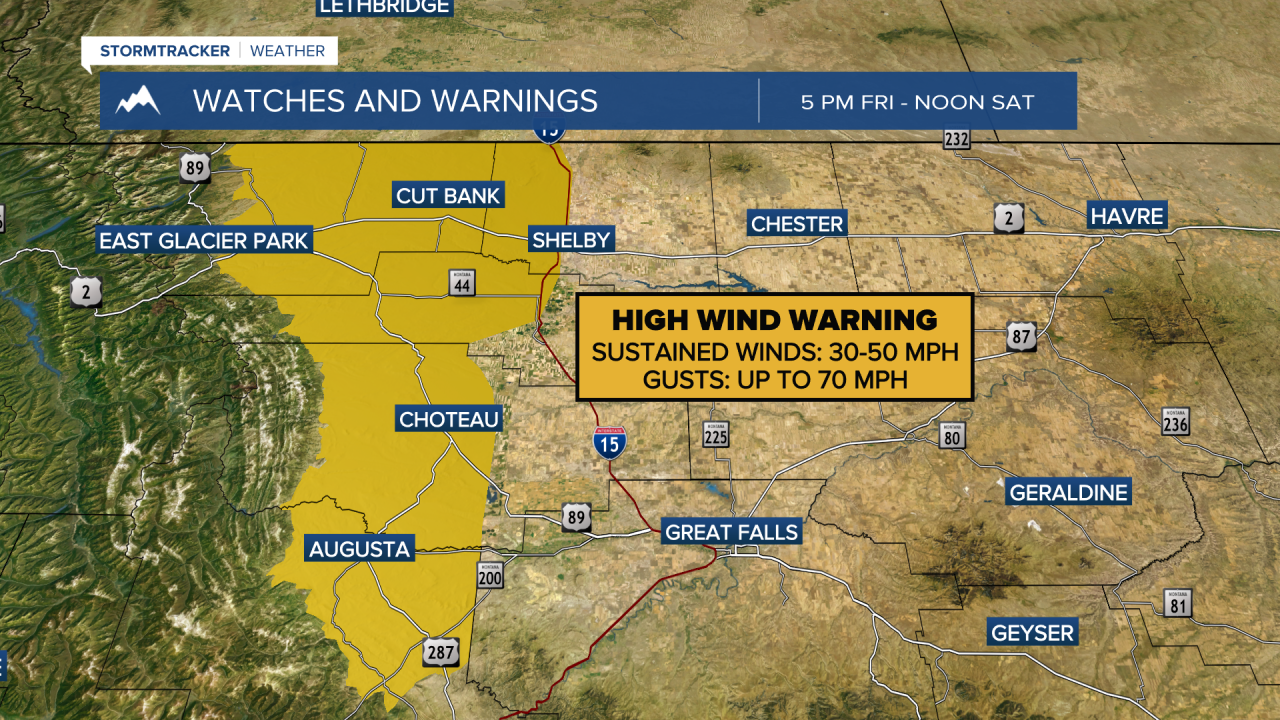
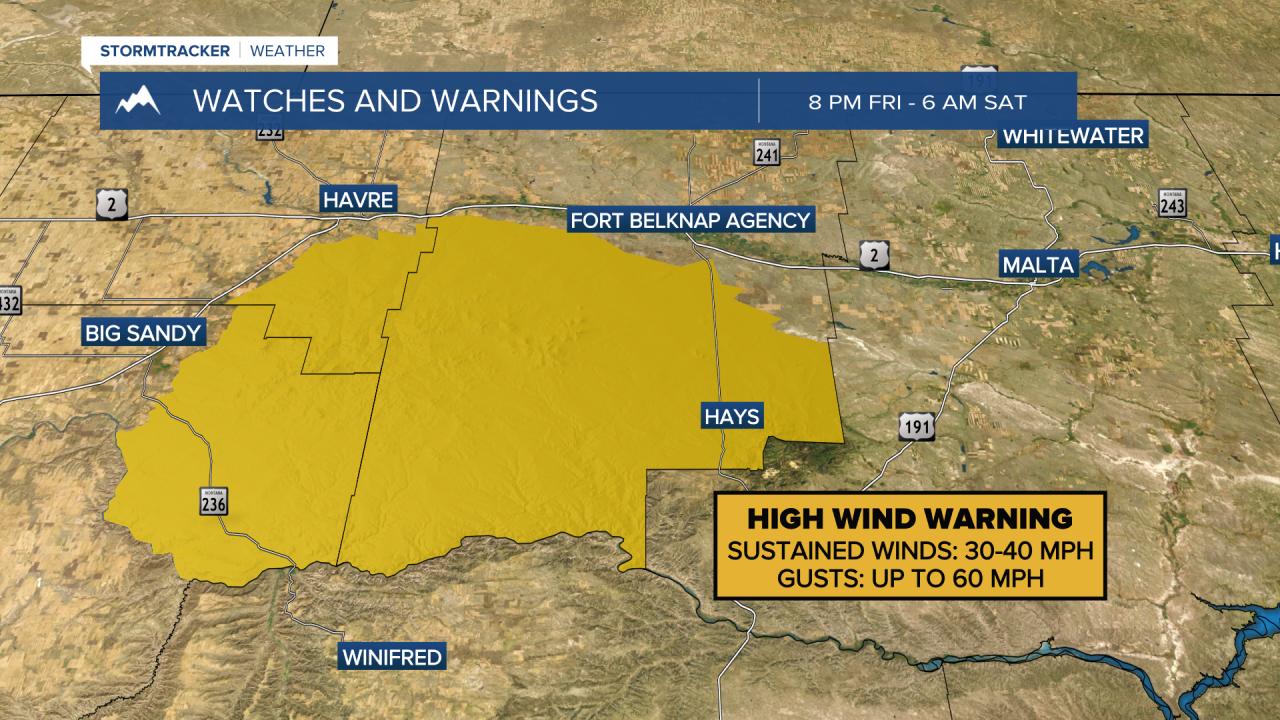
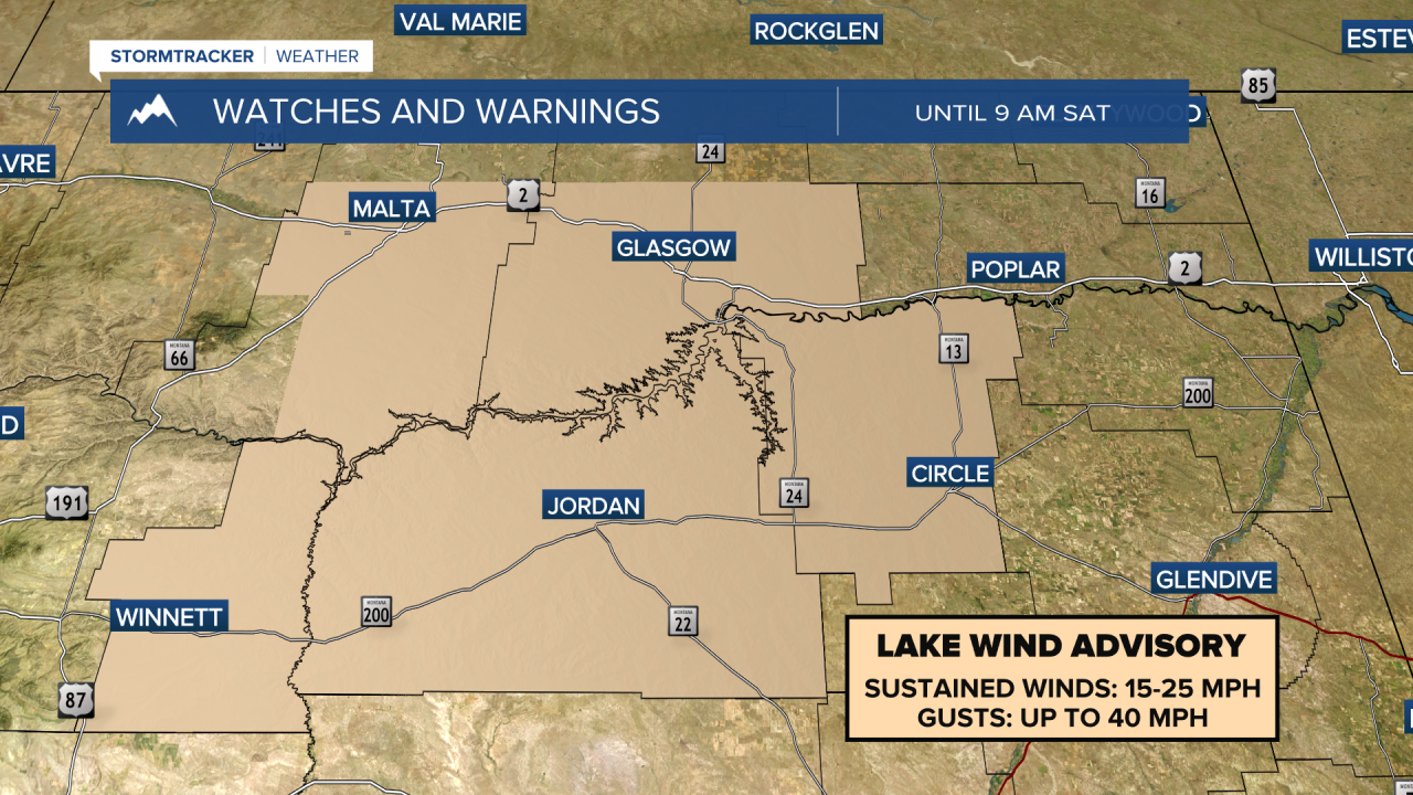
MONTANA WEATHER ALERTS:
——————————————————————————————————————————