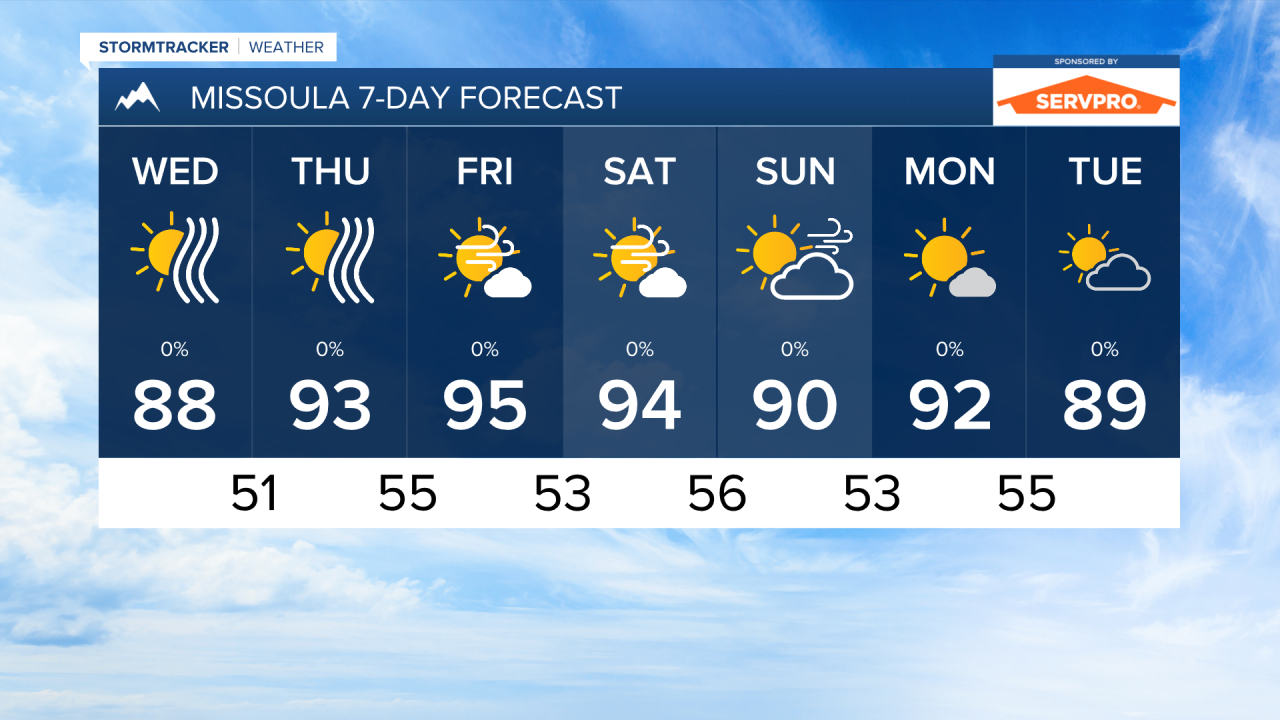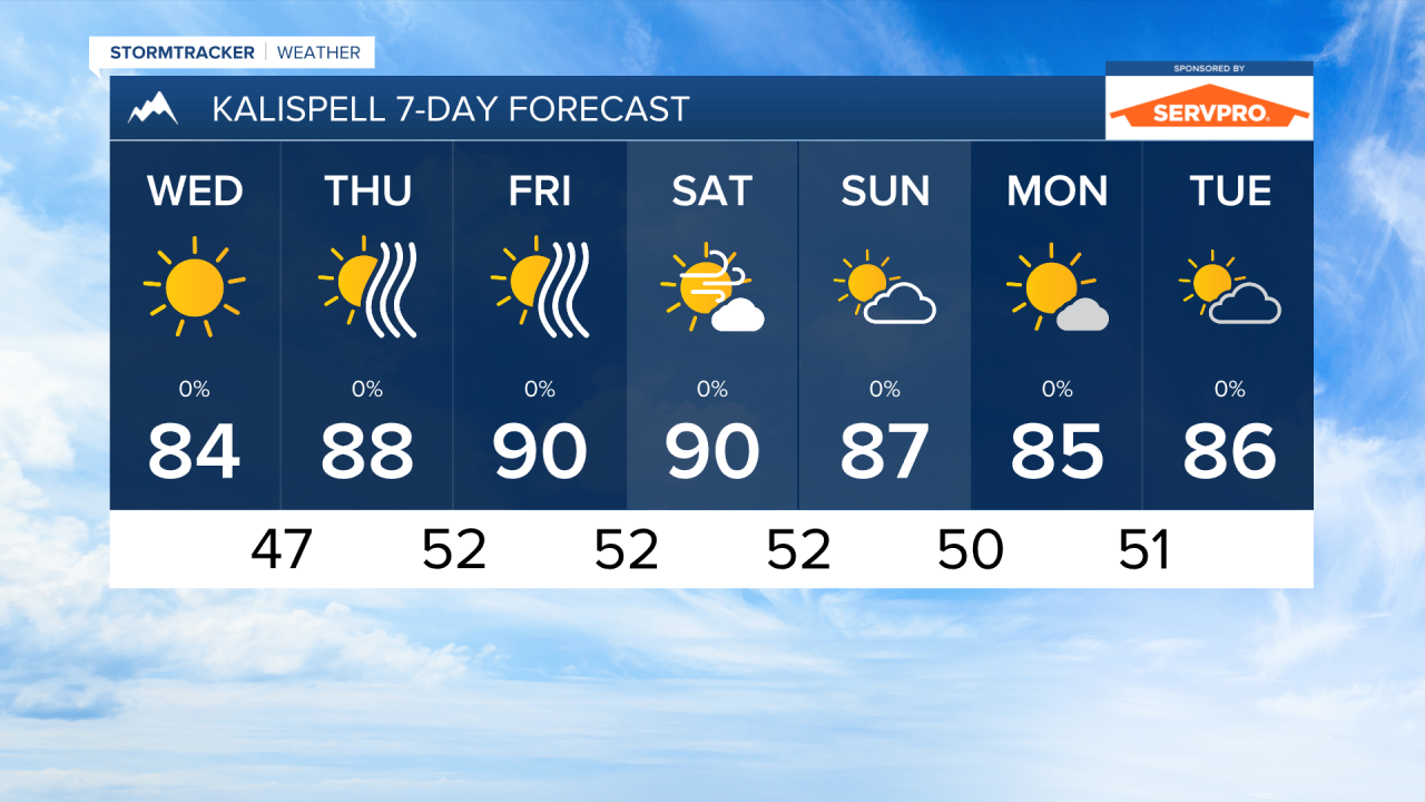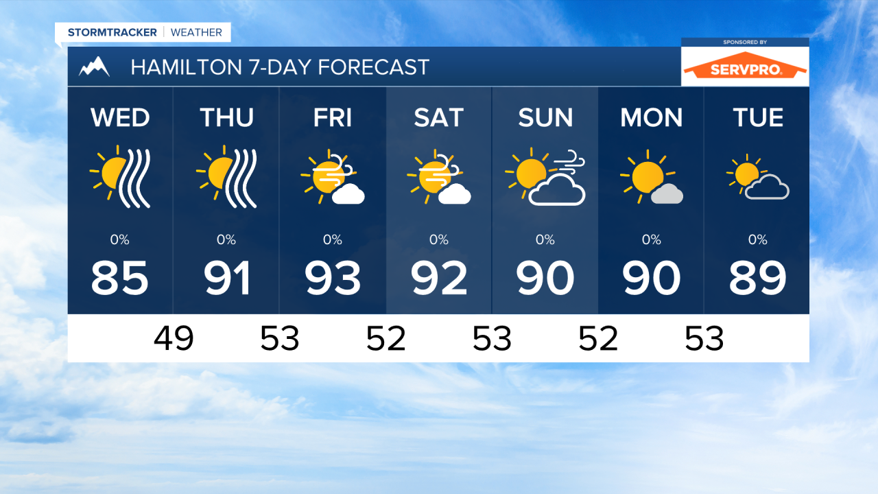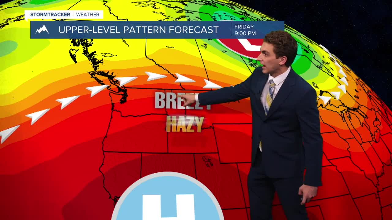


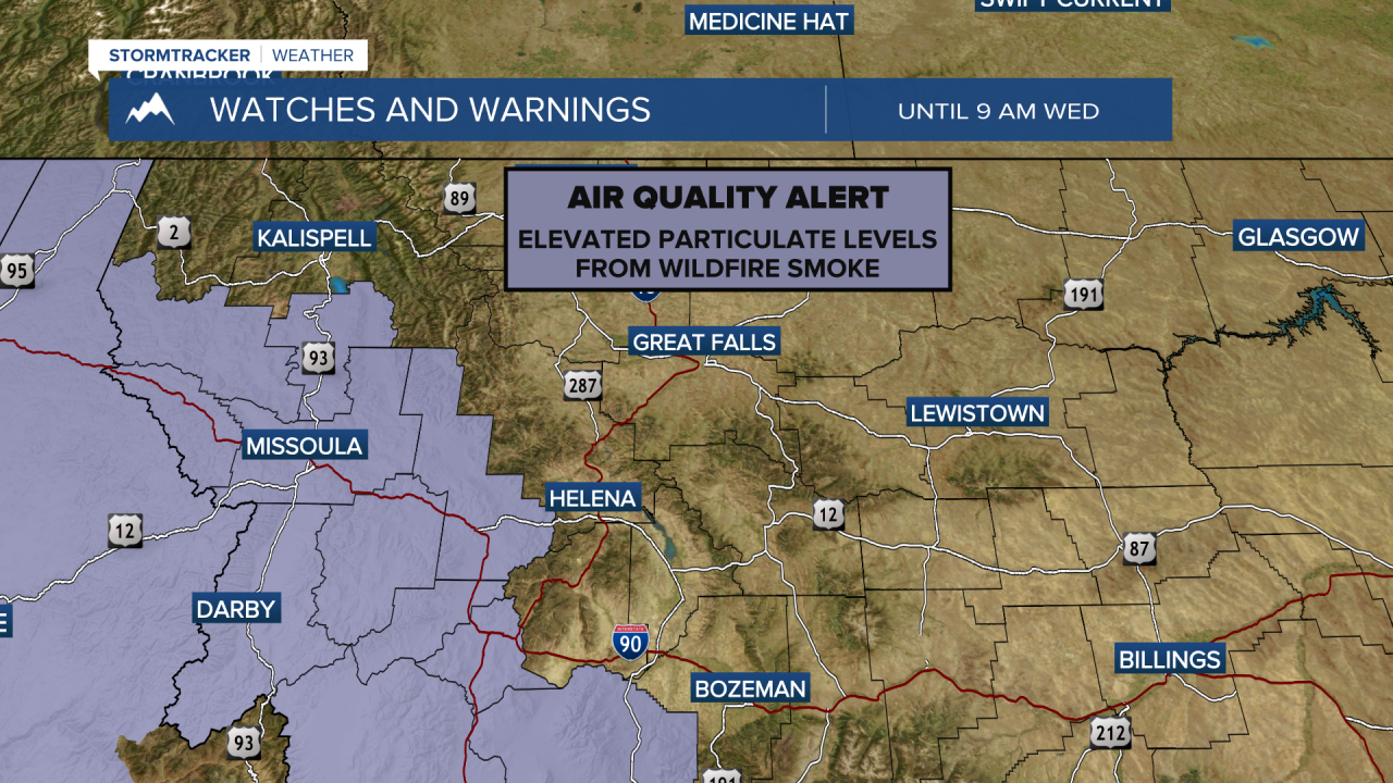
MISSOULA — While Tuesday has overall been better in terms of air quality and wildfire smoke, it will not last very long. Westerly, mid-level flow will develop by Wednesday afternoon and bring in thicker smoke from large fires in Washington, Idaho, and western Montana.
The air quality has been moderate for most areas through the day. I expect air quality to degrade through the rest of the week and even into the weekend.
Low temperatures in the 30s and low 40s were common across western Montana Tuesday morning, but it's only up from here. High temperatures will warm into the 80s and 90s through the rest of the week, with the warmest days on Friday and Saturday.
Wind will be picking up once again this weekend. I don't expect it will be as gusty as Saturday of last weekend, but Maximum gusts of 20-30 MPH are not out of the question, especially on Friday and Saturday. Fire weather danger increases over the weekend due to this.
There is no significant precipitation in the short term forecast as of right now. We will remain dry across western Montana.
——————————————————————————————————————————
MONTANA WEATHER ALERTS:
——————————————————————————————————————————