



MISSOULA — The heat is back in western Montana with highs reaching the low 90s across much of the region on Thursday. Temperatures will be a few degrees warmer on Friday before a cold front on Saturday brings us back to near-normal conditions.
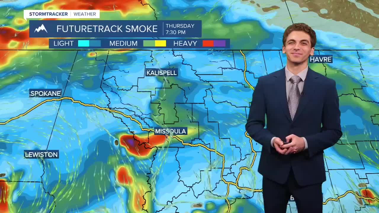
Light to moderate amounts of wildfire smoke is present in most of the western Montana valleys originating from fires burning out of state. Air quality conditions should slightly improve on Friday afternoon with a northeasterly wind developing, bringing in cleaner air.
We will remain dry through Friday evening. Scattered showers and a few weaker thunderstorms will develop overnight Friday and into Saturday morning. There is the potential for a few strong to severe thunderstorms to develop on and west of the Continental Divide Saturday afternoon. Drier weather returns to begin next week.
——————————————————————————————————————————
MONTANA WEATHER ALERTS:
NONE
——————————————————————————————————————————


