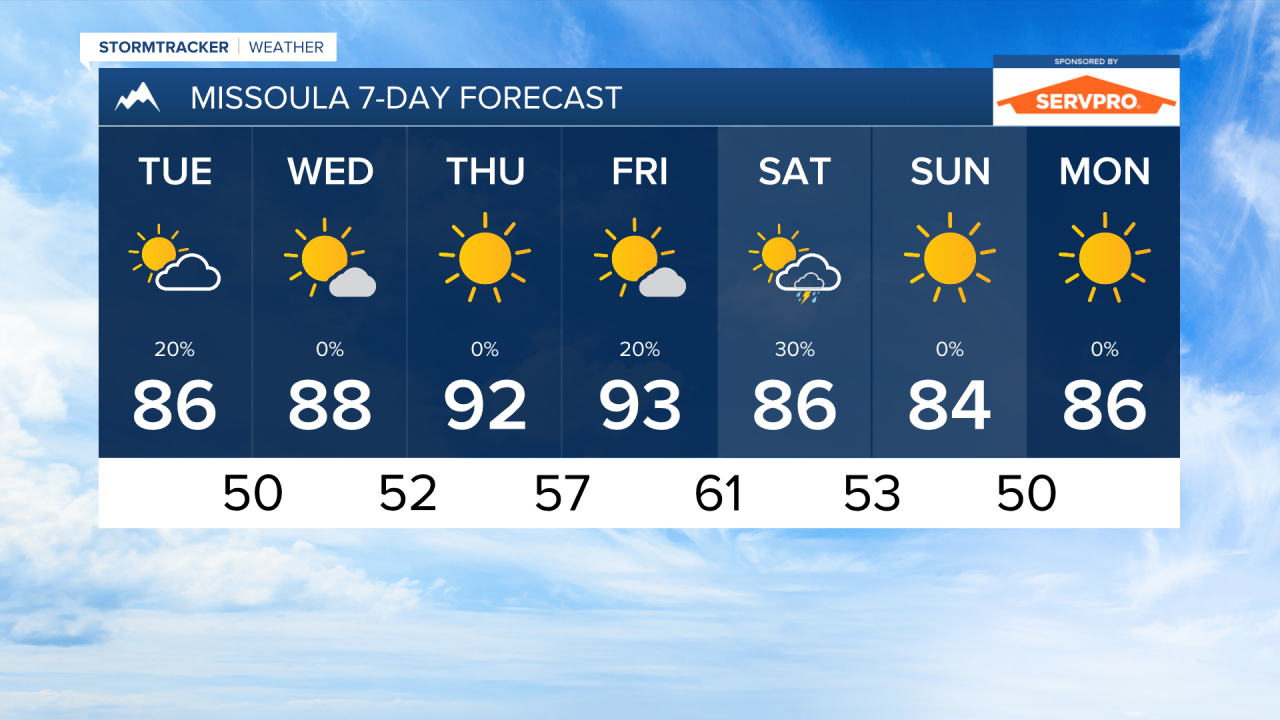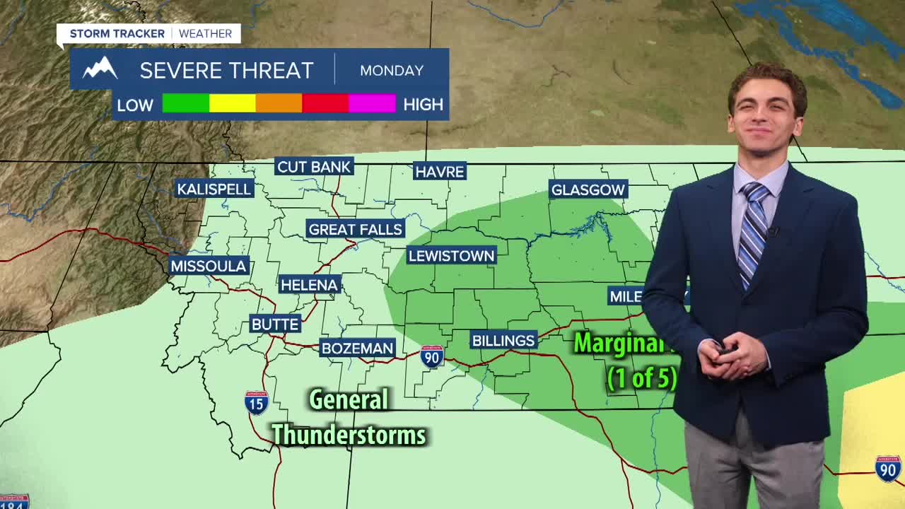


MISSOULA — While most of the storm activity over the next couple of days will be concentrated south and east of the Bittterroot Valley, a few hit-or-miss storms may develop Monday and Tuesday afternoons. Storms should be sub-severe each day, but the strongest of storms may produce wind gusts around 30 to 40 MPH with frequent lightning.
We will hit a brief dry period of Wednesday and Thursday before thunderstorms are back in the forecast on Friday and Saturday.
Temperatures will be warming up throughout the week with highs in the low 80s to begin this week, climbing into the upper 80s to low 90s by Thursday and Friday.
Wildfire smoke will impact some of our area. While it won't be as thick as it was as portions of last week, northwest Montana may see air quality dip into the moderate to "unhealthy for sensitive groups" categories at times over the next few days with west flow bringing in smoke from fires in Washington.
——————————————————————————————————————————
MONTANA WEATHER ALERTS:
NONE
——————————————————————————————————————————