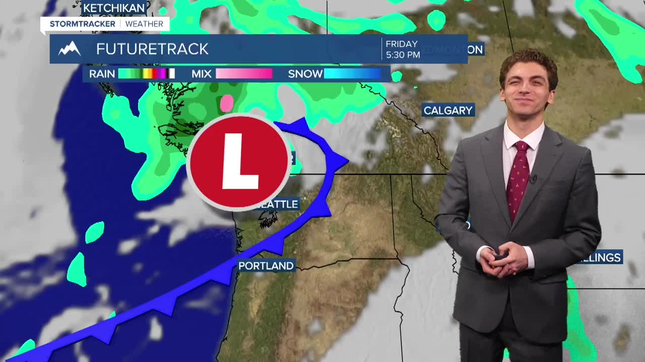


MISSOULA — A storm system coming in from the Pacific will bring rain showers, thunderstorms, wind, and cooler air to our area over the weekend.
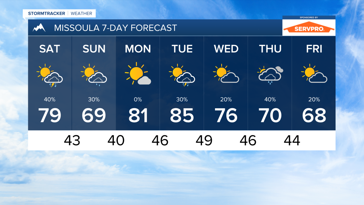
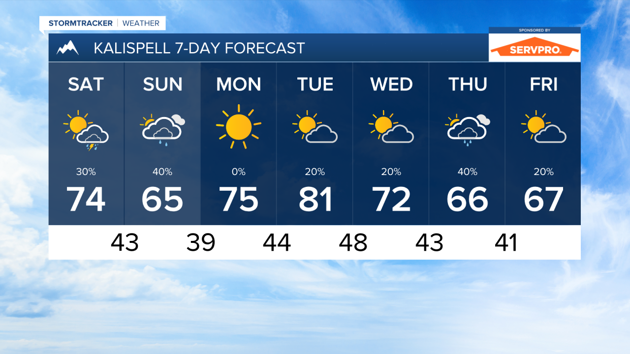
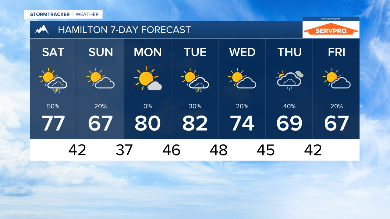
We will start out with isolated showers and perhaps a few rumbles of thunder in the morning between 6 AM and 9 AM in southwest and west central Montana. Most of the area will remain dry through the rest of the morning and the afternoon before a cold front approaches in the evening. This will bring scattered thunderstorms to the area, potentially around the time the Griz play their first game of the season.
Light rain showers will wrap back behind the center of low on Sunday morning, these will impact northwest Montana, making it as far south as Missoula. The rest of the day will be dry and cool.
There is even the potential for very high elevation mountain snow on Sunday morning! It will not accumulate much and most fall above 8000 feet.
Speaking up temperatures, most of the next week will be spent in near to below normal conditions. Highs over the weekend are only in the 60s and 70s. Lows on Monday morning could dip into the 30s. Another storm systems coming in towards the middle of next week will bring another opportunity for below normal temperatures.
Wildfire smoke will continue to be intermittent through western Montana over the next couple days. With afternoon maximum wind gusts reaching 20-30 MPH, fire activity could see increased activity even with some wet weather coming through. Expect air quality to be "good" to "moderate".
——————————————————————————————————————————
MONTANA WEATHER ALERTS:
NONE
——————————————————————————————————————————