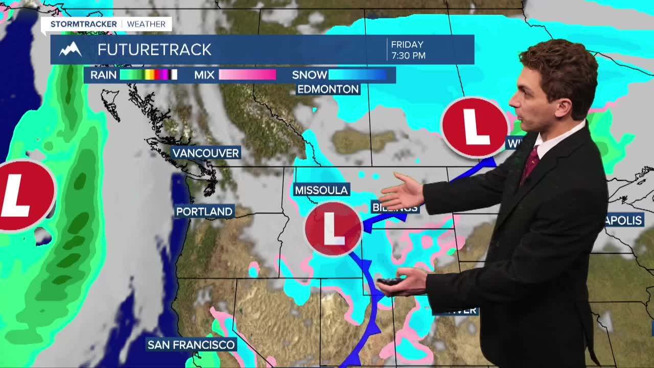


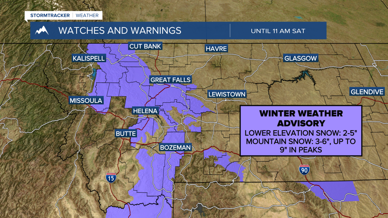
MISSOULA — Another round of light snow is making its way through our area on Friday. Winter Weather Advisories have been issued for the Seeley/Swan areas, where the highest totals will be. Up to 3 inches are possible east of HWY-39 and west of the Mission Mountains. Everyone else generally stays under and inch to nothing at all.
Be careful driving over mountain passes this weekend. Several inches of snow will accumulate creating slick road conditions.
Bozeman looks interesting for Cat-Griz. The Gallatin Valley could pick up as much as 5 inches of snow by kickoff tomorrow. Something to watch.
WATCH: BRAWL OF THE WILD COLD WEATHER HISTORY
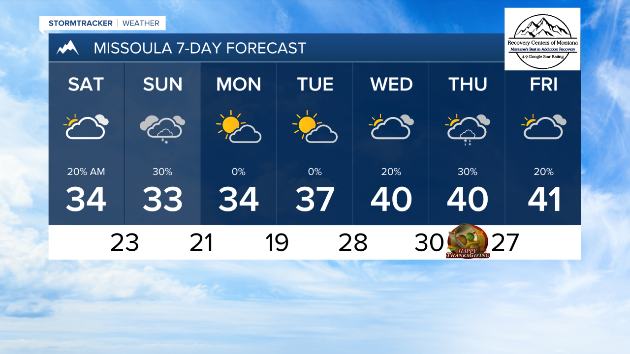
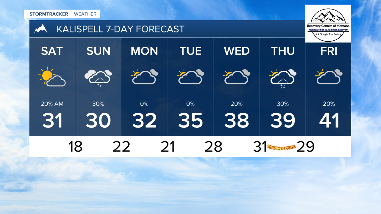
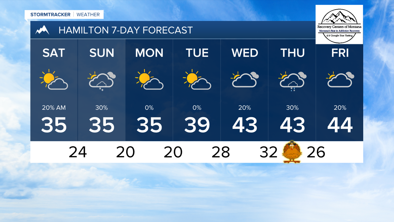
Another round of light snow will come in from the west on Sunday. At this time, this does not look like it will produce significant snow in most areas.
Next week is looking generally drier and slightly warmer, with high temperatures warming slightly back up into the low 40s by Thanksgiving. Another round of rain and mountain snow is looking like it may move in just in time for those family gatherings.
——————————————————————————————————————————
MONTANA WEATHER ALERTS:
——————————————————————————————————————————