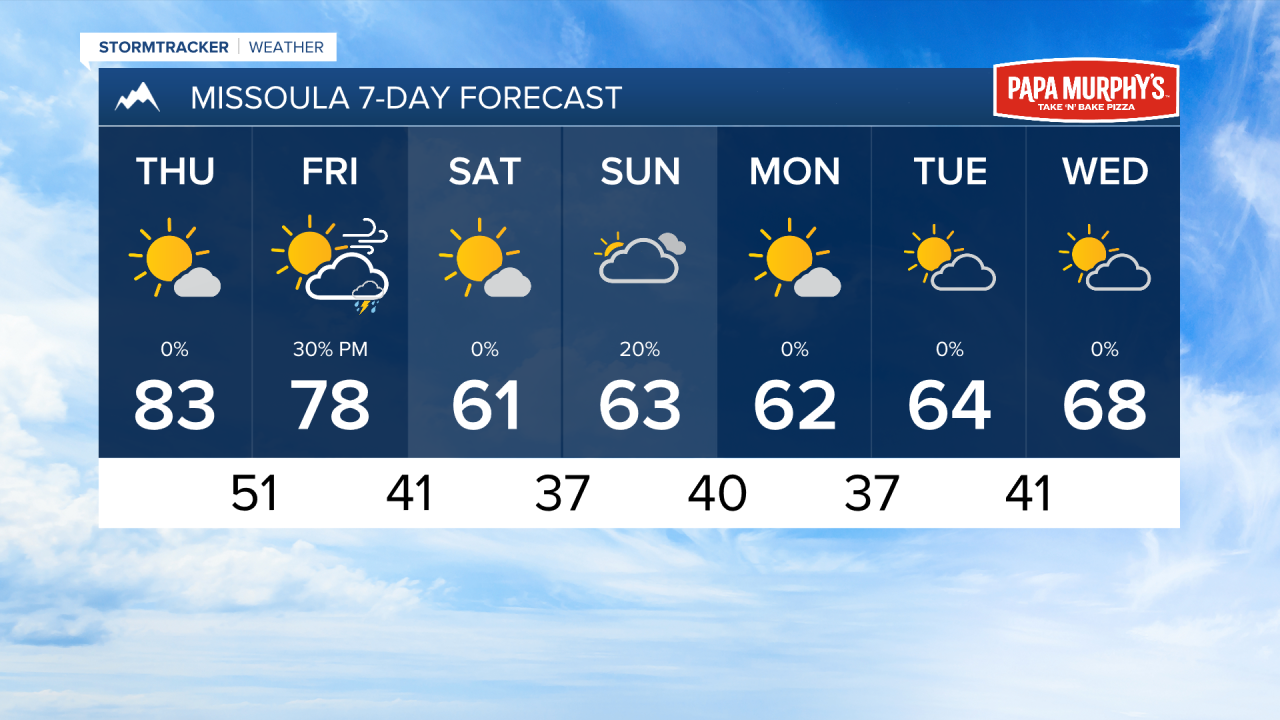
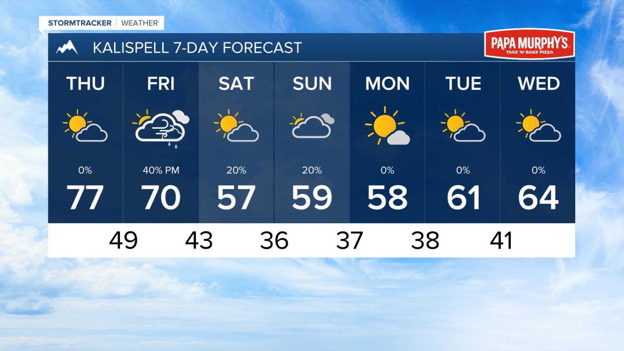
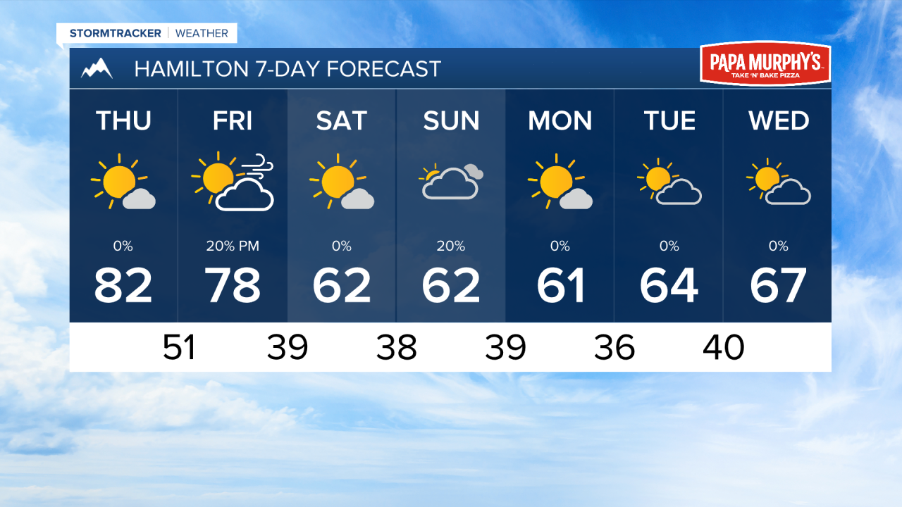
MISSOULA — Warm and dry conditions will persist into Thursday across the region. Expect high temperatures in the upper 70s to mid 80s tomorrow afternoon under mostly sunny to partly cloudy skies.
Multiple prescribed burns are going on across our region with favorable weather conditions today and tomorrow. Expect to see some areas of smoke and locallized impacts to air quality.
A cold front arrive on Friday afternoon. This will bring widespread, light rain to northwest Montana, with just isolated showers and storms for areas south of the Mission Valley.
We do expect wind to pick up with this front, especially in the Bitterroot Valley. Gust up to 40 MPH are possible.
More typical fall conditions come in behind this front for the weekend. Expect highs int the 50s and 60s with lows in the 30s. Frost may develop in the mornings. A few rain showers are possible on Sunday.
——————————————————————————————————————————
MONTANA WEATHER ALERTS:
NONE
——————————————————————————————————————————