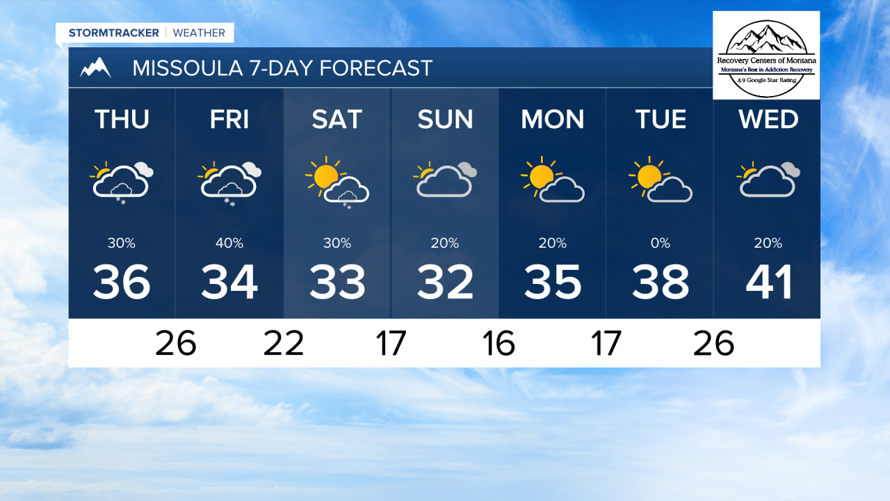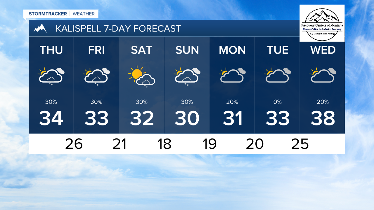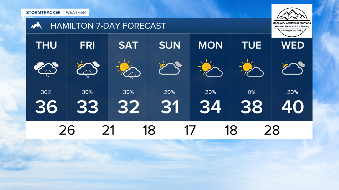


MISSOULA — Another storm system is on the way, with cloud cover increasing overnight. A round of light precipitation will trek south to north into the early morning. This will bring light snow through the mountains, with flurries falling in the valleys.
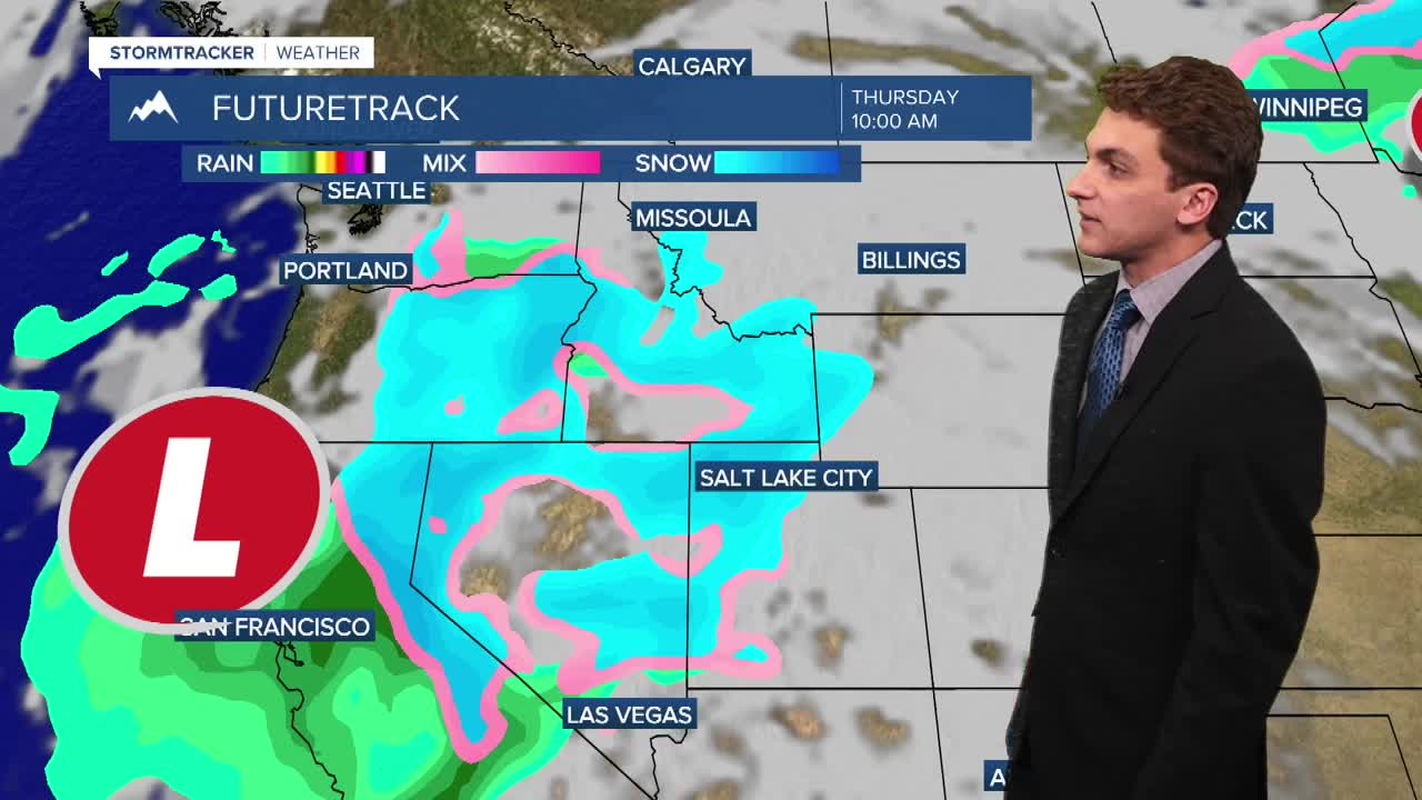
Another weak round of moisture will come in Thursday afternoon. This will bring more light snow to the mountains, and a valley mix. Showers tomorrow appear to be scattered in nature, so not everybody will receive rain or snow.
The best chance to see a coating of snow will be in lower elevations of Lincoln and Sanders Counties. A dusting is possible in places like Libby, Thompson Falls, and Troy.
A backdoor cold front will swing in from the north on Friday. This is looking like it could bring light accumulating snow to the floors of the Flathead and Mission Valleys.
We are expecting a little instability in the region on Saturday, leading to pop-up afternoon mountain snow showers. More cloud cover will move in on Sunday.
Colder temperatures stick around through the beginning of next week. Highs only reach the 30s, with lows dipping to the teens and 20s.
——————————————————————————————————————————
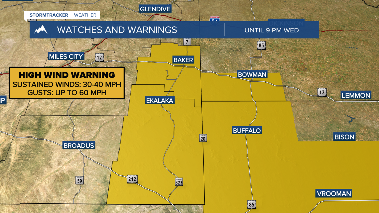
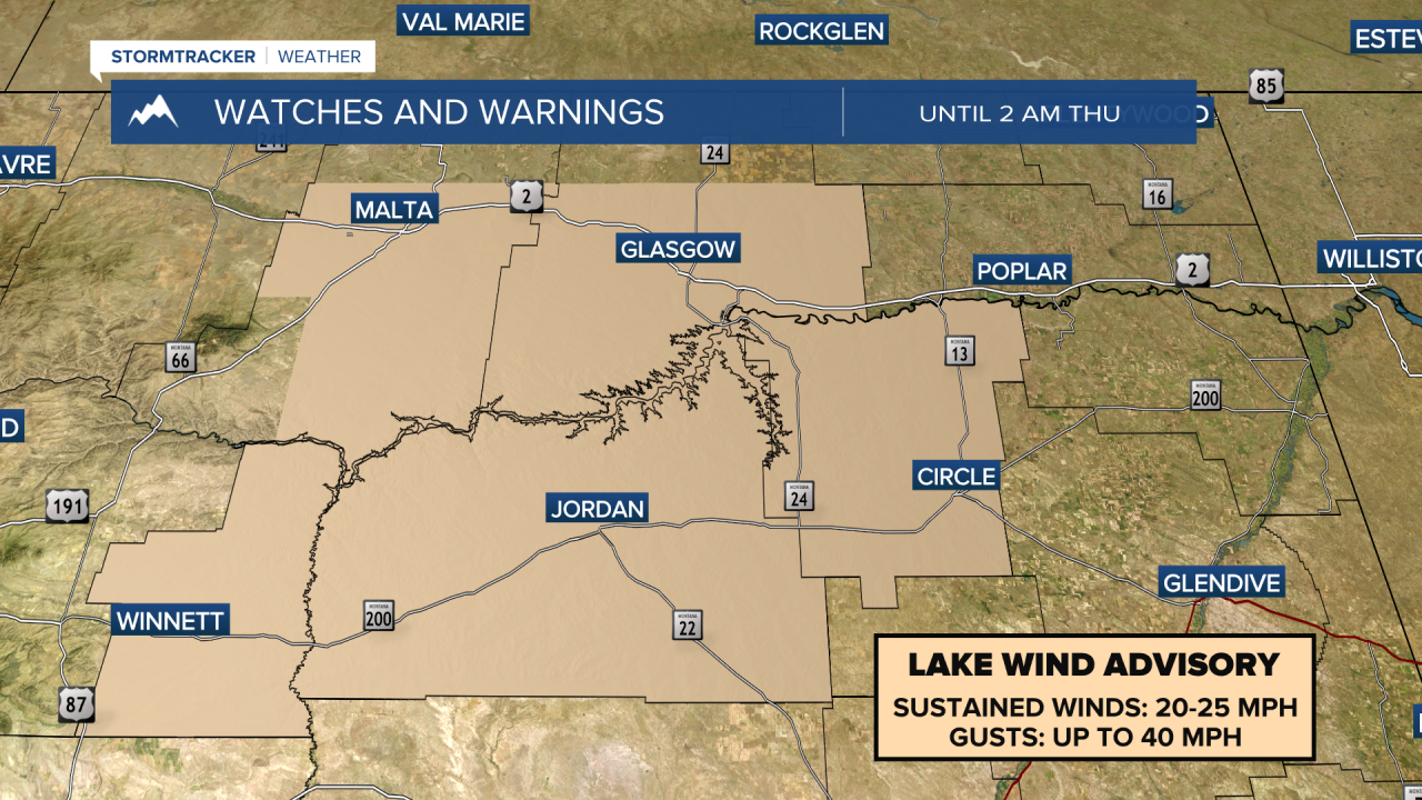
MONTANA WEATHER ALERTS:
——————————————————————————————————————————