

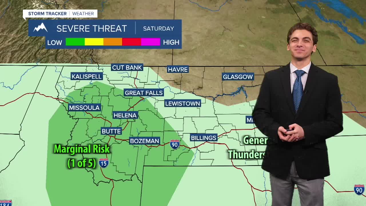


MISSOULA — A cold front will bring thunderstorm activity back to western Montana on Saturday. A few storms could be strong to severe with gusty winds, hail, and frequent lightning.
Expect cloud cover to increase Friday night into Saturday morning. An initial round of light showers will move through western Montana in the morning. We will see a bit of sunshine poke through the clouds in the late morning and early afternoon. This is provide fuel for thunderstorm development around 2-3 PM. These storms will move northeast through the rest of the afternoon and evening. Wind gusts could reach up to 60 mph in the strongest storms, with hail reaching to about an inch in diameter.
Although we do expect rain to reach the surface with these storms, gusty winds and lightning strikes will push the fire danger higher. We will be watching for potential new wildfire starts Saturday and Sunday with drier air coming back in behind the storms.
Afternoon wind gusts on Sunday could reach around 20-30 MPH. It will be a breezy day.
Smoke will be variable around the region. I expect the air quality to be good to moderate Friday and Saturday. We could be seeing thicker smoke return to northwest Montana with west winds picking up behind the cold front.
Temperatures cool down slightly this weekend. Highs reach the 80s and low 90s on Saturday, while dipping to the upper 70s and 80s on Sunday.
Next week is trending drier, with only isolated storms possible on Wednesday. Temperatures warm back into the upper 80s and low 90s by midweek.
——————————————————————————————————————————
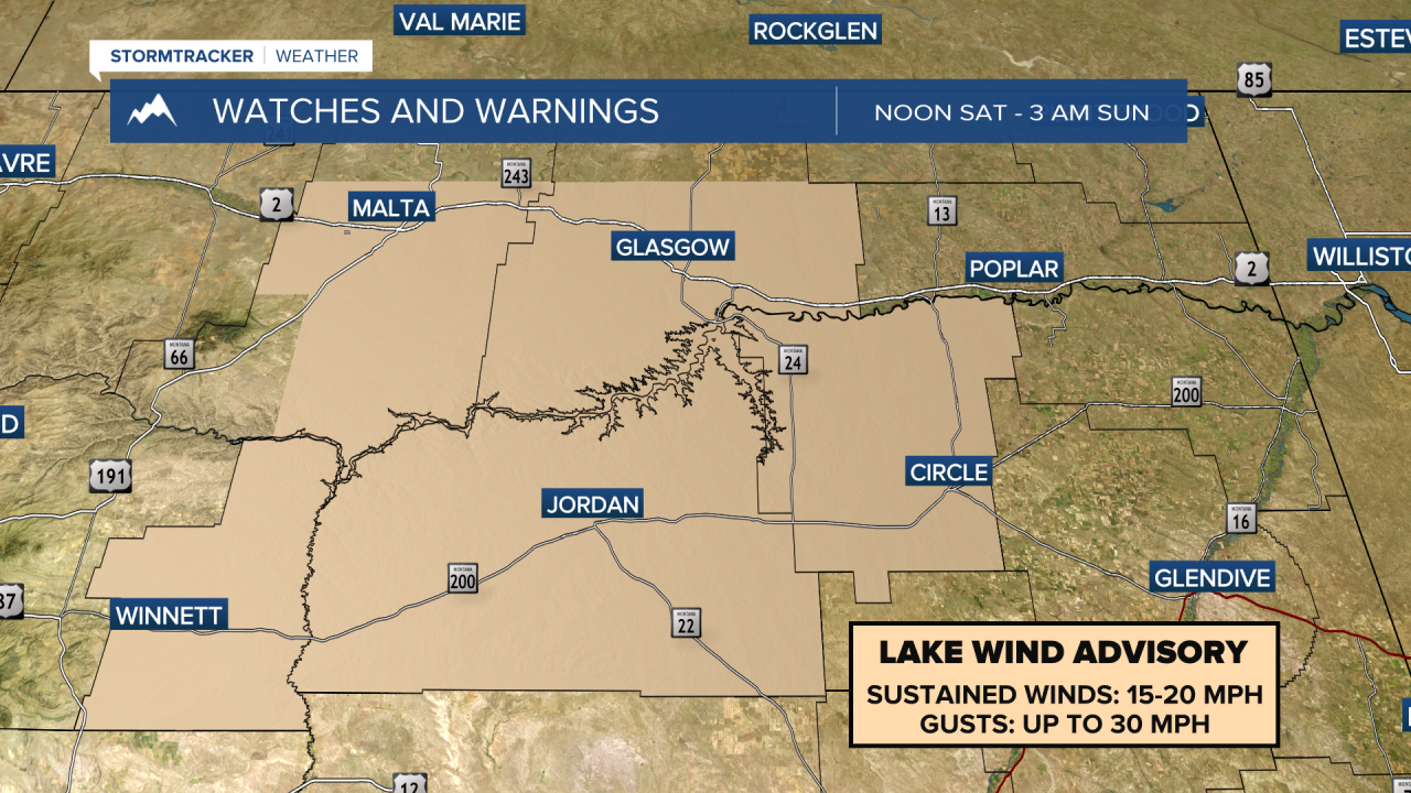
MONTANA WEATHER ALERTS:


——————————————————————————————————————————


