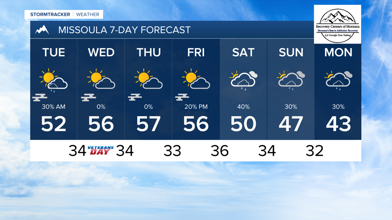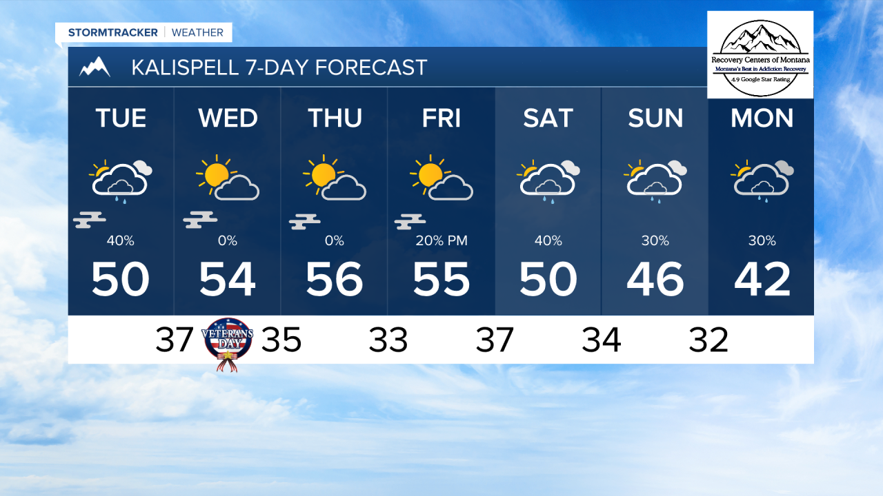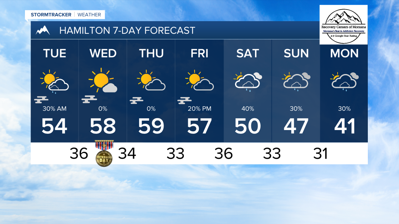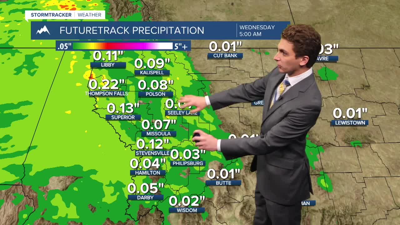


MISSOULA — A small weather system will move through our area tonight, bringing scattered rain showers and light mountain snow. This disturbance will be out of here by the time you're waking up tomorrow morning. Most areas will be dry after this, aside from isolated light rain in northwest Montana in the afternoon.
String valley inversion are expected to develop towards the middle of the week, which will lead to patchy morning fog. There is the potential to see more mild temperatures in the afternoon if the fog and low stratus clouds burn off in time for the ground to receive sufficient daytime heating. If this occurs, highs could reach the 50s and low 60s. If not, high temperatures will stay in the 40s.
Our next shot for precipitation will come over the weekend, when another cold front approaches the region.
——————————————————————————————————————————
MONTANA WEATHER ALERTS:
NONE
——————————————————————————————————————————