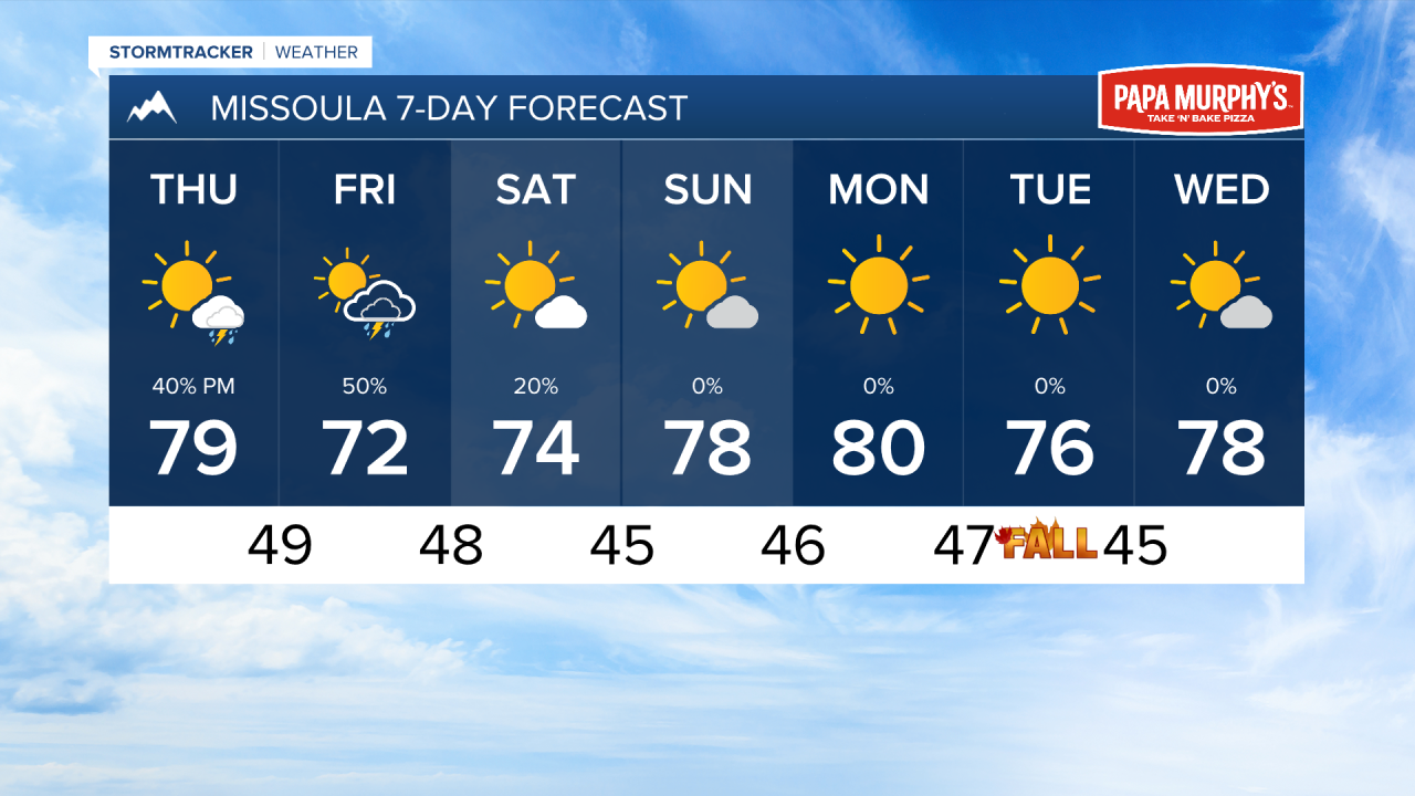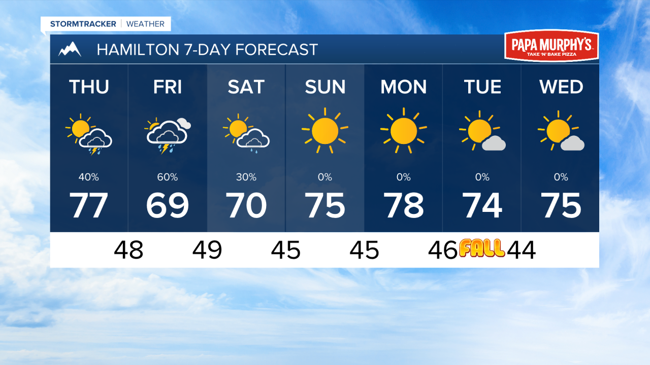


MISSOULA — A center of low pressure will begin to influence our area's weather tomorrow with a surge of moisture coming from the southwest. This will cause scattered thunderstorms to pop over the Bitterroot Mountains and move over the valleys of southwest and west-central Montana. These storms could produce brief heavy downpours, as well as wind gusts up to 45 MPH and small hail.
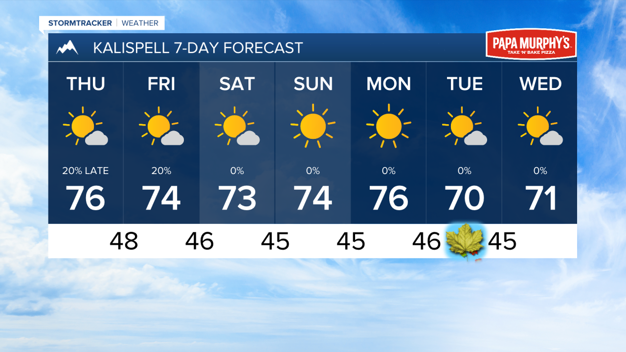
Storms will begin to impact the southern Bitterroot in the early afternoon, making their way north into Missoula by around 6 to 7 Pm. Most of northwest Montana will remain dry.
Storms will continue to impact the same locations on Friday. Again, some storms could produce heavy rain, gusty wind, and hail.
This system moves into the central and eastern portions of the state by Saturday, although a few pop up showers can't be ruled out over our area.
Sunday should be a very nice day under sunny skies and highs in the 70s.
Next week is trending dry with high temperatures in the 70s and low 80s.
——————————————————————————————————————————
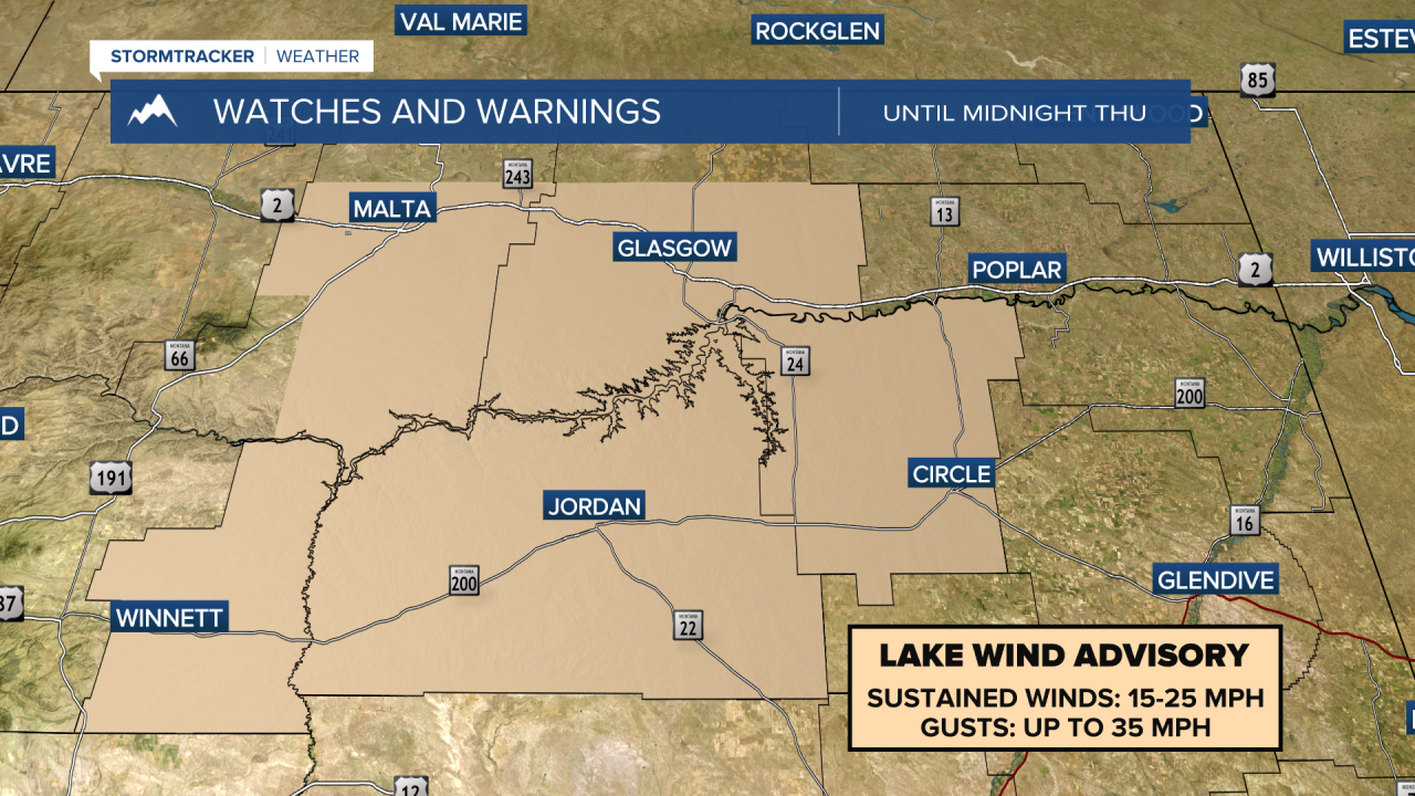
MONTANA WEATHER ALERTS:
——————————————————————————————————————————