

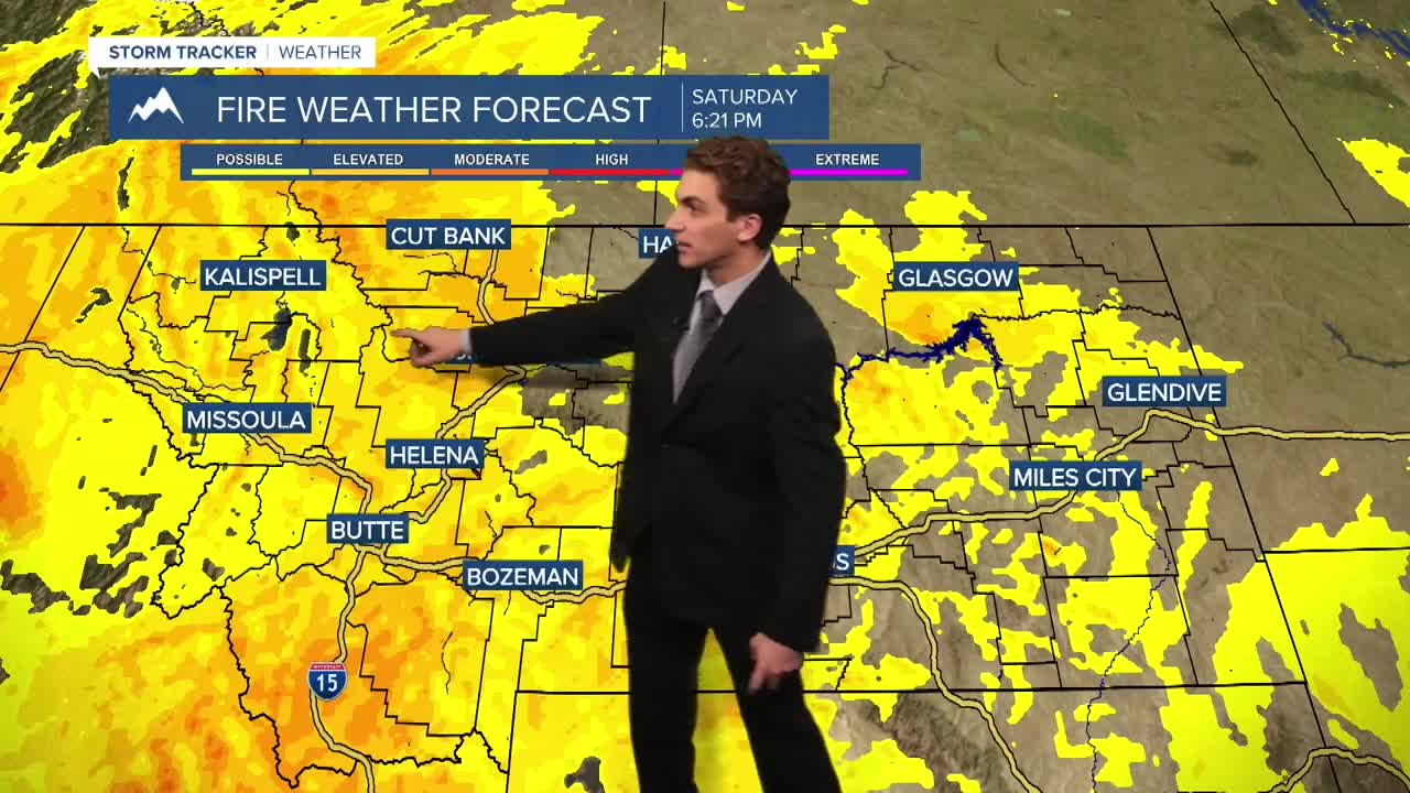


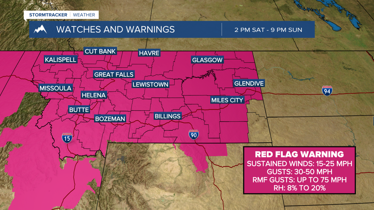
MISSOULA — All of western Montana is included in a Red Flag Warning for Saturday, where it will be hot, dry, and windy. We will be watching preexisting fires and potential new fires for rapid growth in these conditions.
Saturday will feature temperatures in the 90s across the area. We will start out mostly sunny. By the afternoon, some clouds will build in ahead of a cold front moving through. Maximum wind gusts will reach around 30 to 40 MPH in most lower elevations, with gusts in the higher terrain near 50 MPH.
Sunday will feature much cooler temperatures behind the cold front. Highs will only reach the 70s and low 80s. It will still be windy, with maximum gusts around 20 to 30 MPH.
We expect some smoke to be sticking with us through the weekend. There may be a breif break in the heavier smoke after the front passes, but it will fill back in with westerly flow aloft from larger fires burning in Washington early next week.
After the cold front passes, cooler air will stick around through Tuesday, with highs in the 70s and 80s, and lows in the 40s. Some of the higher elevations will record lows in the 30s Monday and Tuesday mornings.
We will be dry through most of next week.
——————————————————————————————————————————
MONTANA WEATHER ALERTS:


——————————————————————————————————————————


