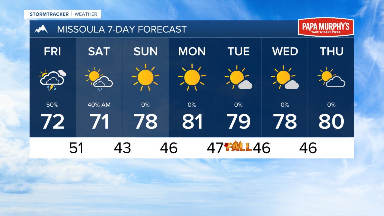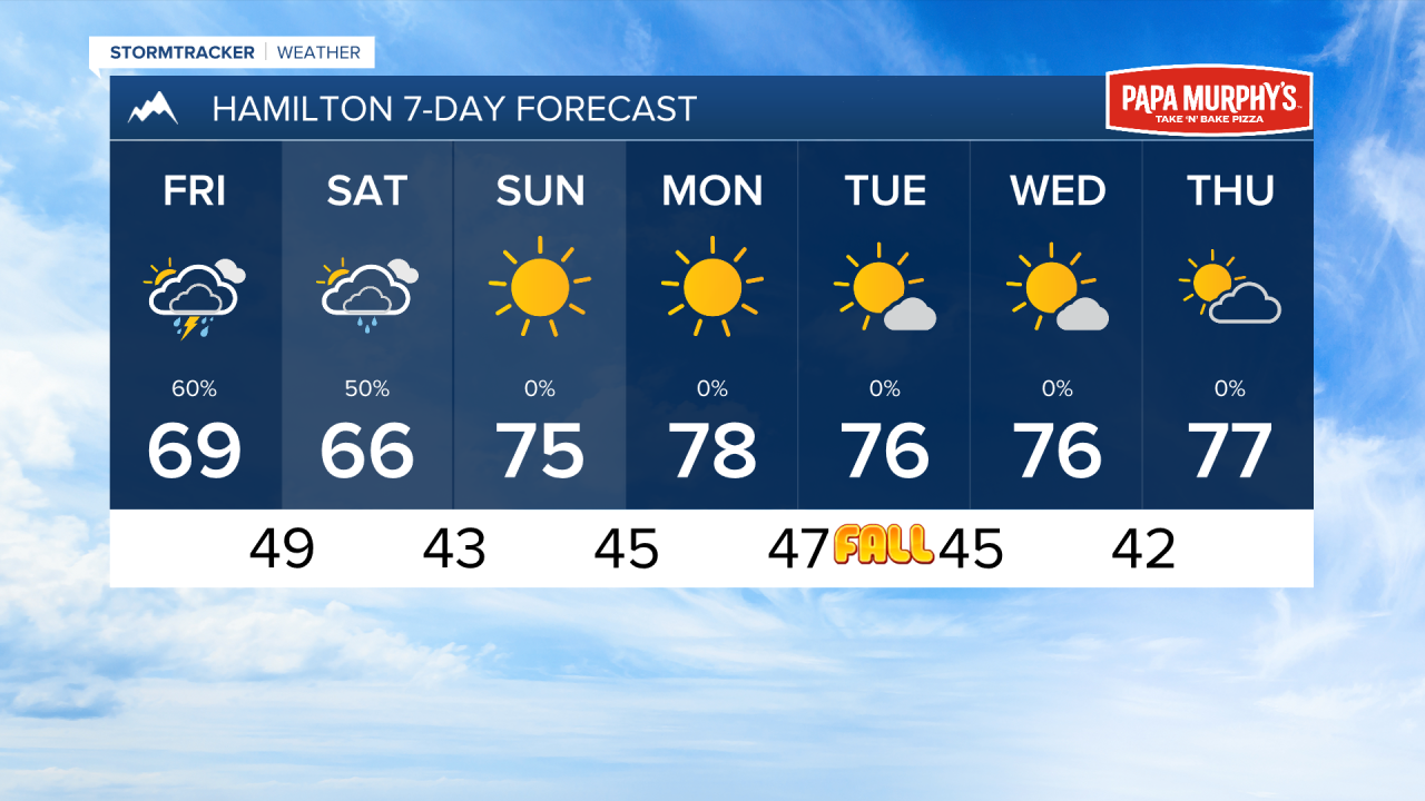


MISSOULA — The first wave of rain and thunderstorms will begin to makes its way into southwest Montana this afternoon. The Storm Prediction Center has upgraded a small sliver of Ravalli and Beaverhead Counties into a level 1/5 risk for severe weather. One or two of these storms may become severe with wind gusts near 60 MPH and hail up to an inch in diameter.
Storm timing appears to be between 5 PM and 9 PM in the Bitterroot Valley. These storm could stay of the stronger side as far north as Missoula.
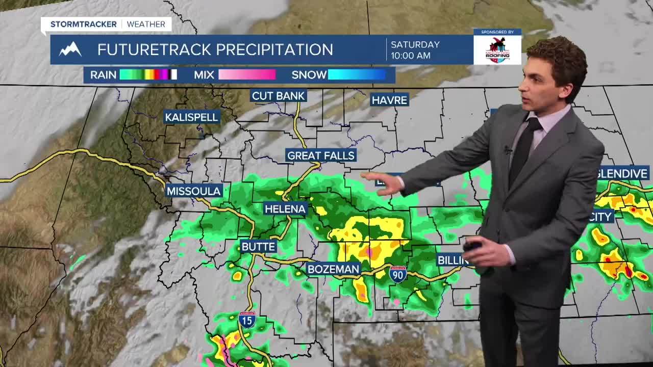
Another round of showers and storms are expected through most of the afternoon and evening in southwest Montana. The Missoula area will see scattered activity as well. Wet weather should move out by Saturday afternoon.
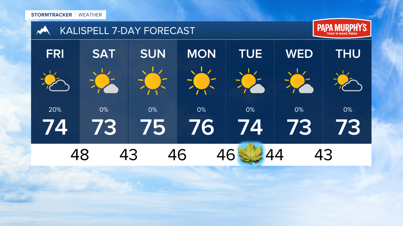
High pressure will replace our storm system on Sunday, lasting through most of next week. This means drier and warmer weather for the first week of Fall.
——————————————————————————————————————————
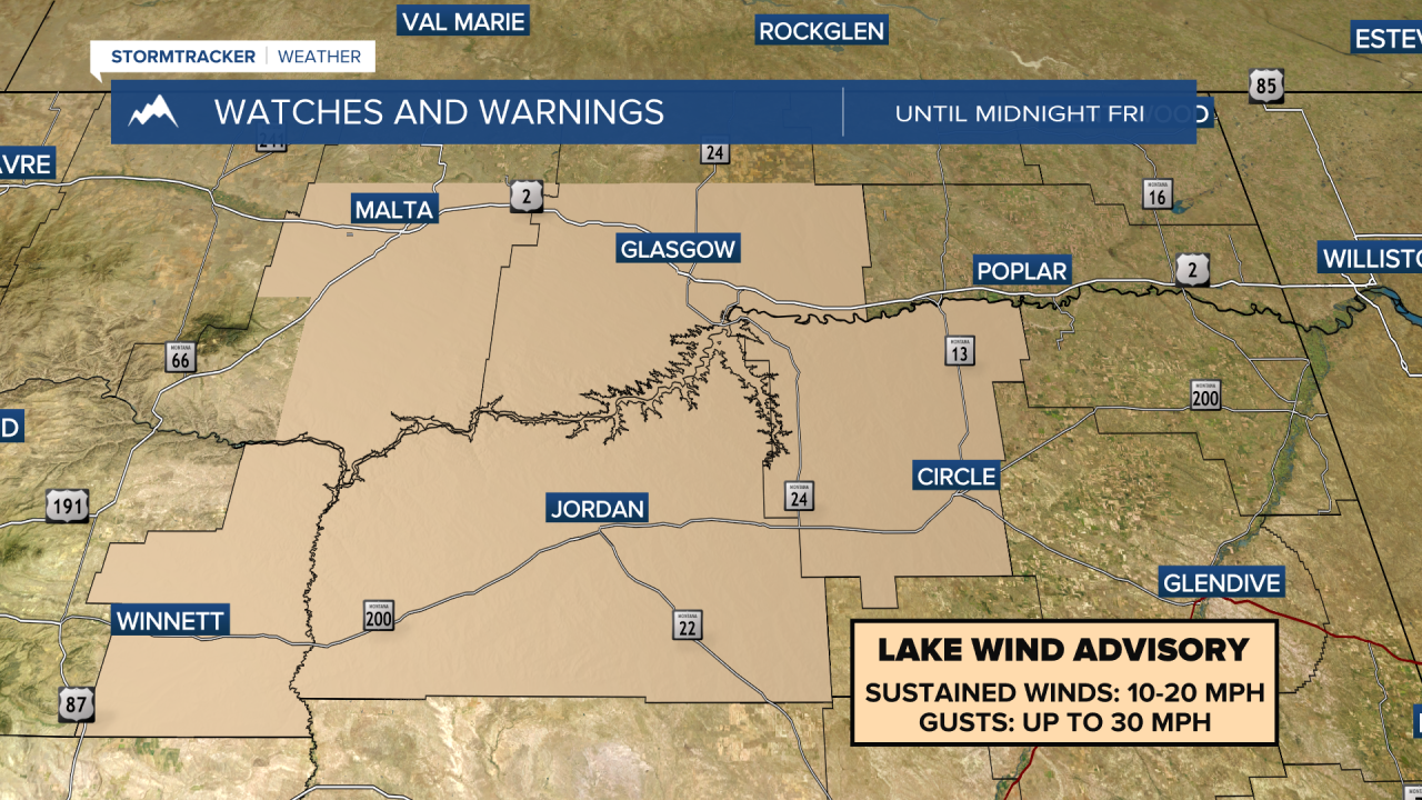
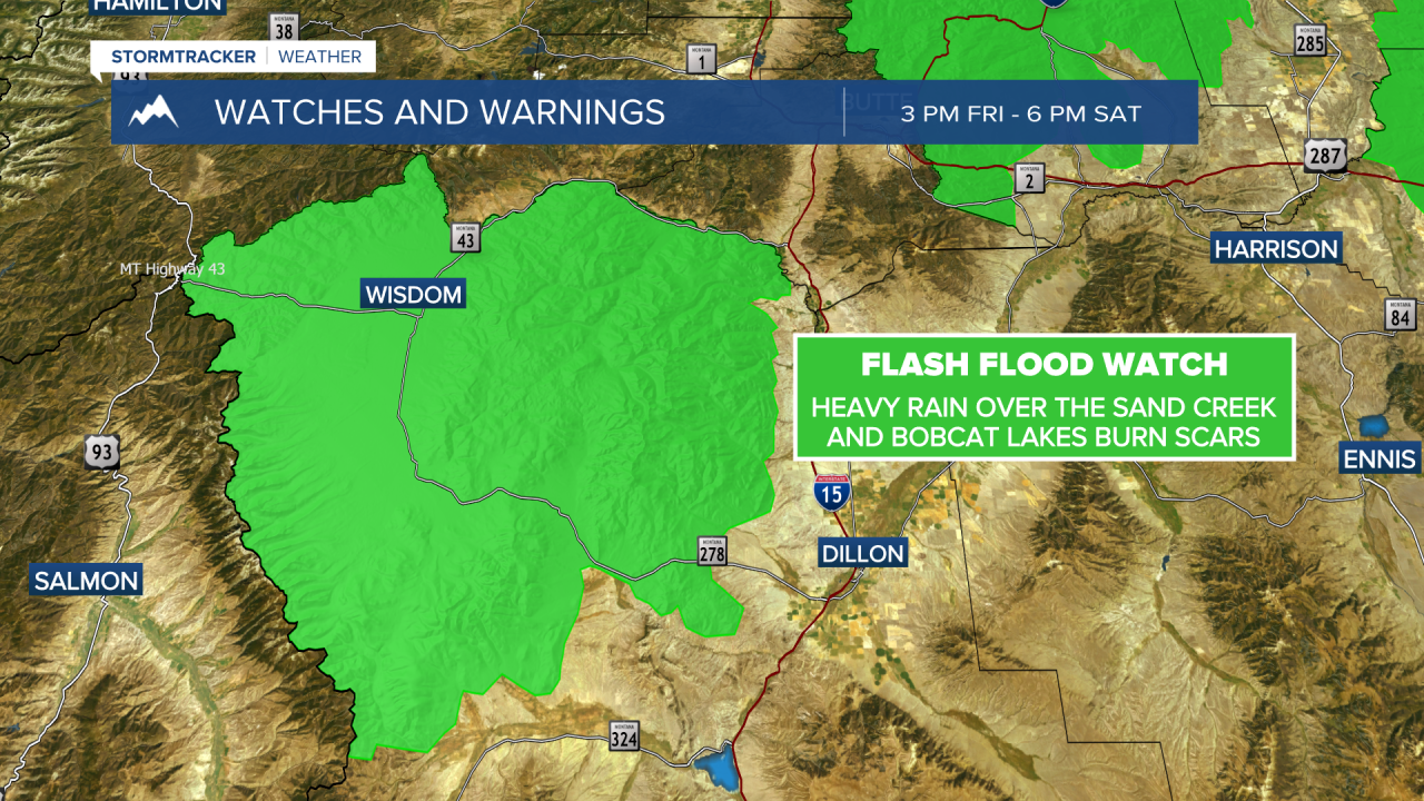
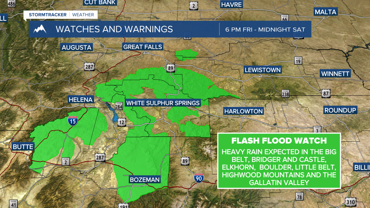
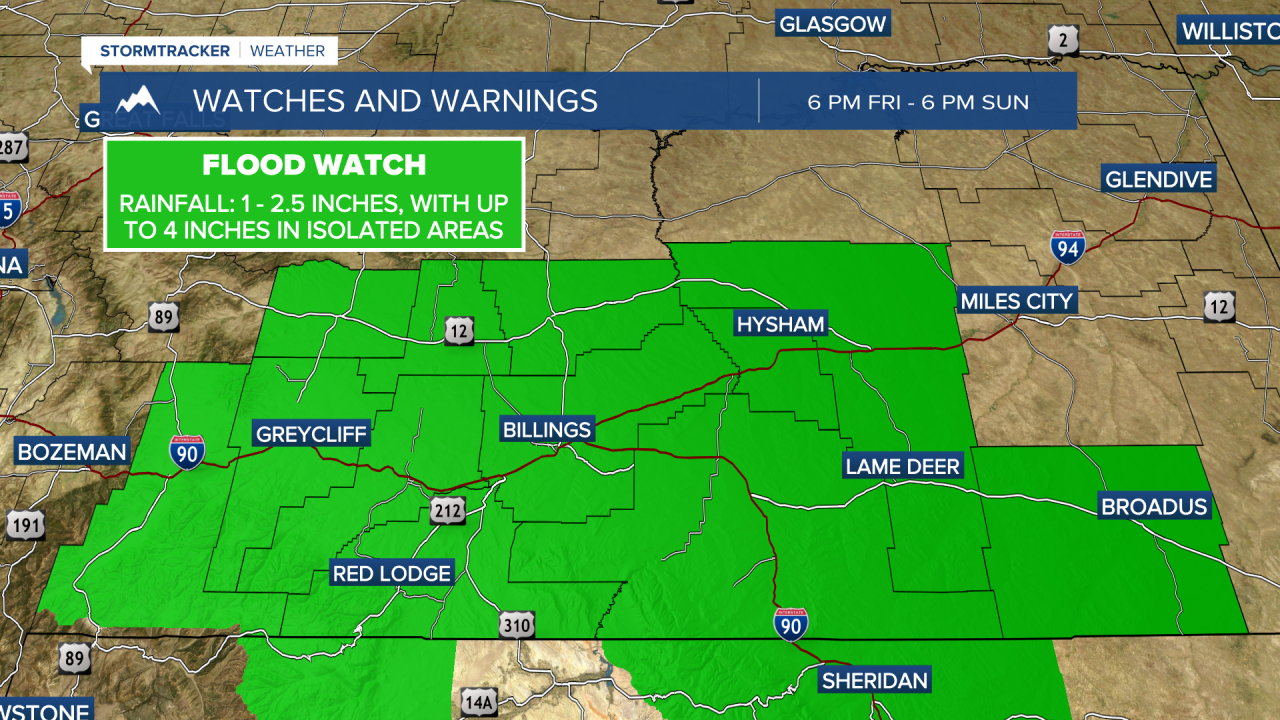
MONTANA WEATHER ALERTS:
——————————————————————————————————————————