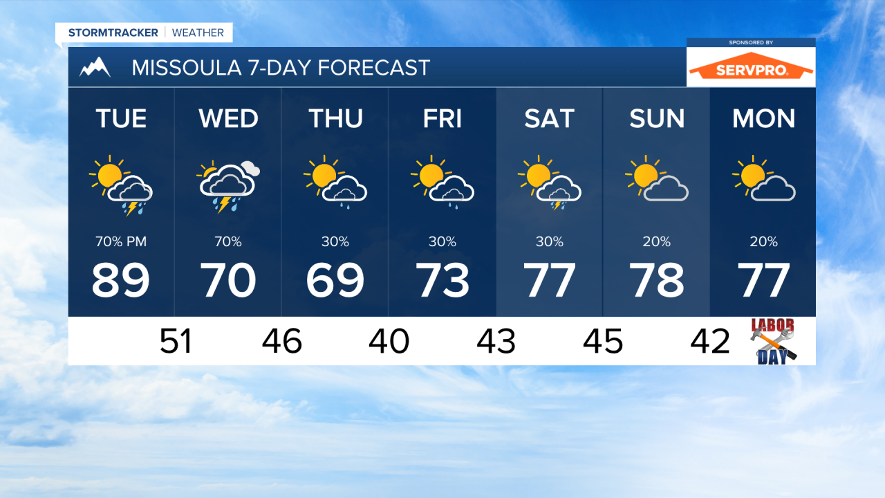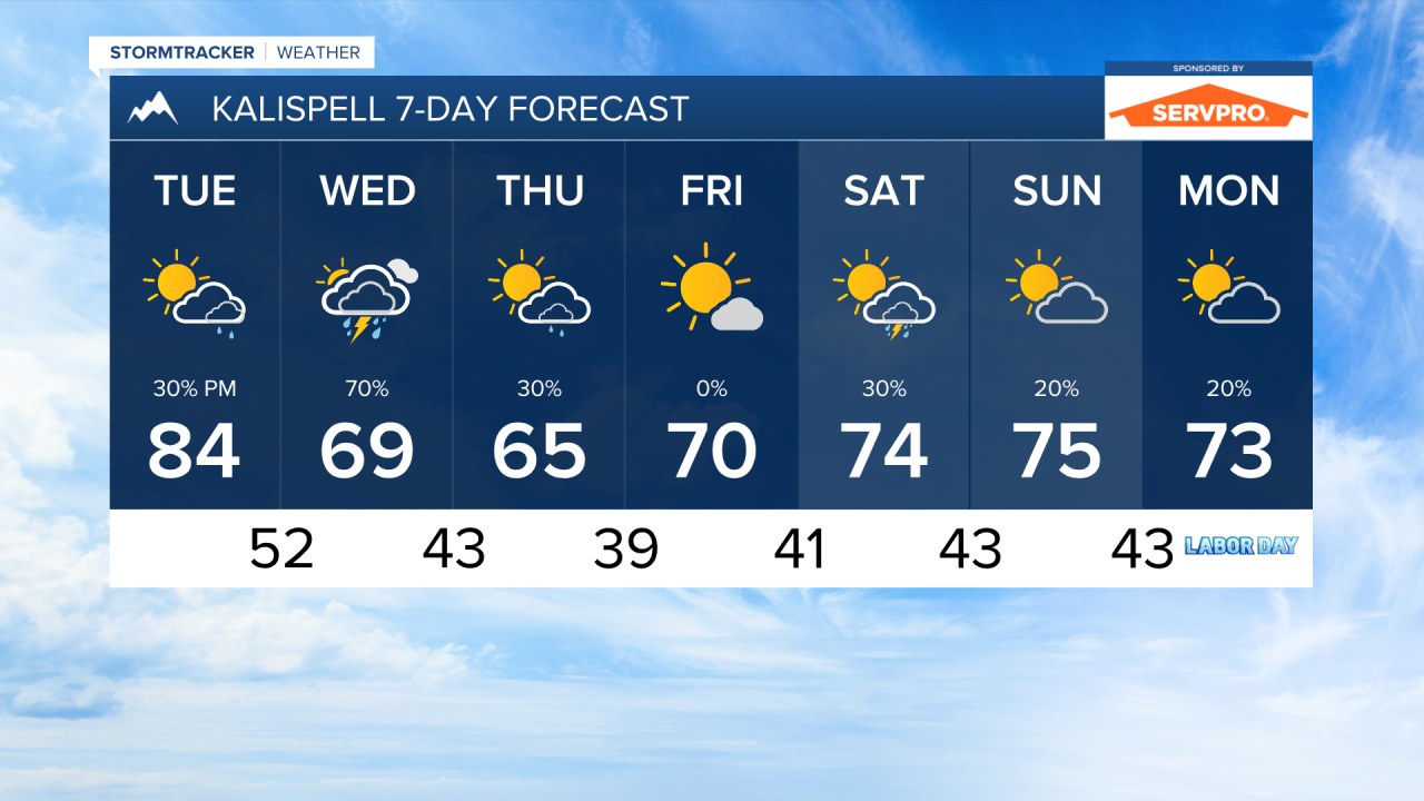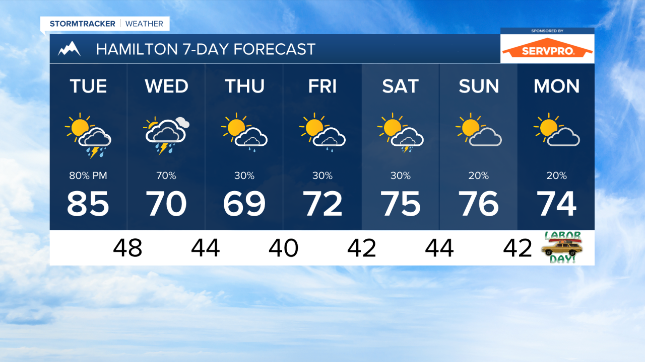


MISSOULA — Thunderstorms and rain return to western Montana over the next couple of days. This wave of more active weather will produce beneficial rainfall and allow temperatures to cool once again towards the middle of the week.
Meteorological fall begin tomorrow, September 1st! Meteorologists divide the seasons into consistent three-month periods based on the annual temperature cycle and to better help with keeping track of climate records and observational data. Astronomical Fall begin in just about three weeks, on September 22nd.
We are tracking a couple of waves of moisture moving through the state on Tuesday evening and Wednesday. This will overall increase cloud coverage and produce numerous showers and thunderstorms over the area. Some of these storms could produce gusty winds and rain rates around 0.5" per hour. We are watching Wednesday afternoon for the potential of and isolated severe storm or two.
A more organized low pressure systems will impact the Pacific northwest from Wednesday through Labor Day weekend. There are still some uncertainty on how this system will influence Montana's weather during that period. I do expect at least some isolated showers and thunderstorms each day through the weekend.
Fires have become overall less active with cooler and wetter weather in our region, and with that storm moving in this week. I don't expect much in terms of degraded air quality over our area outside from some light smoke at times.
——————————————————————————————————————————
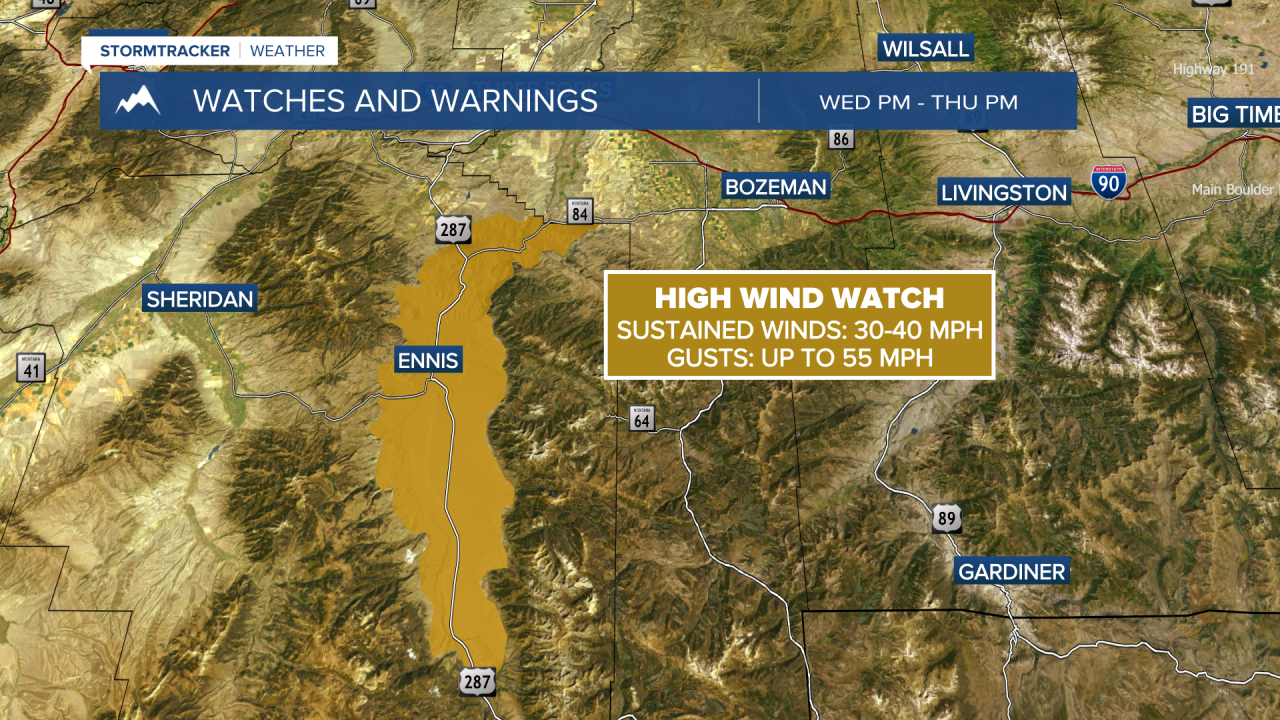
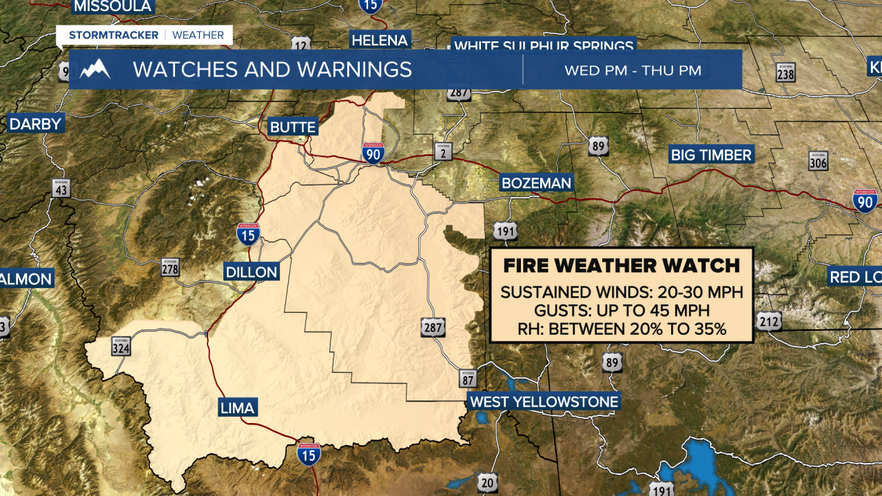
MONTANA WEATHER ALERTS:
——————————————————————————————————————————