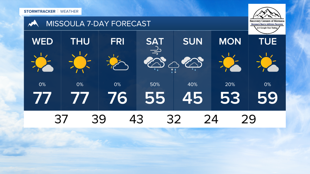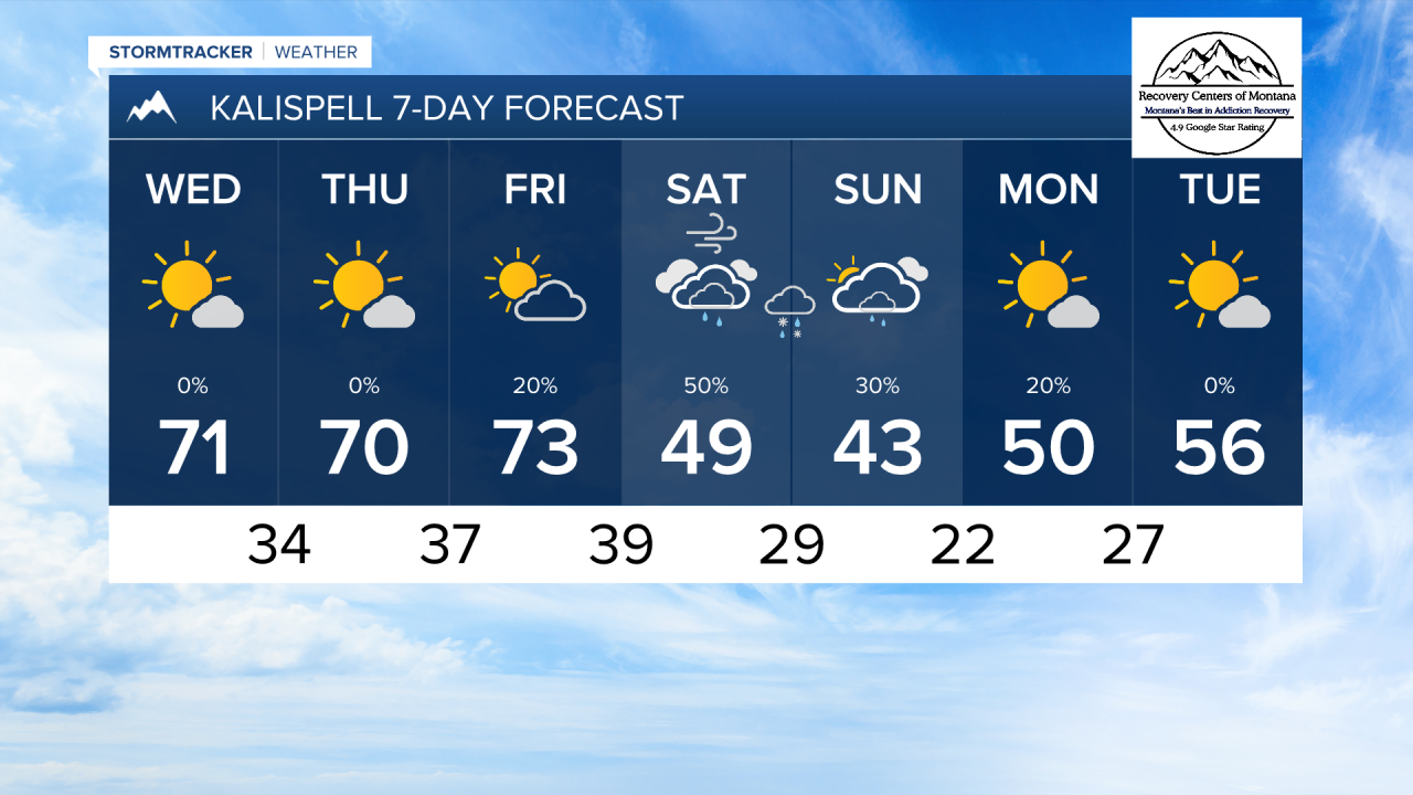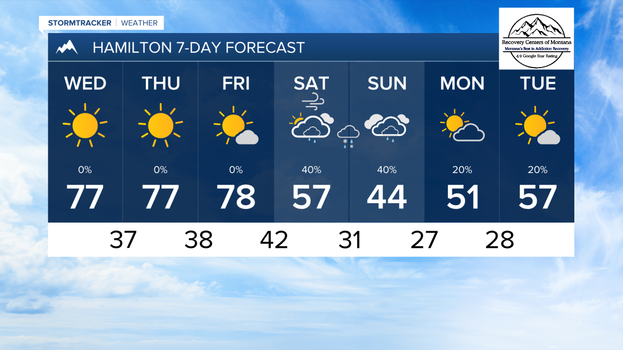


MISSOULA — Multiple record highs were set across the state on Monday. By the weekend, temperatures will be much below normal with the potential for some lower elevations snowflakes.
Through Friday, expect high temperatures to reach the 70s, lows to dip into the 30s, light wind, and mostly sunny skies for all of the lower elevations of western Montana.
Friday night into Saturday morning, a strong cold front will bring dramatically cooler air with wind gusts around 30 MPH.
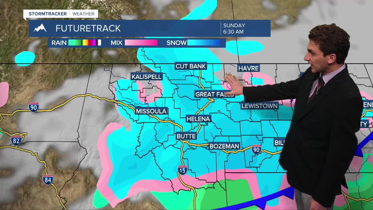
The storm system will also bring precipitation, with the potential for some lower elevation wintry mix/snow at times. It doesn't appear there is a strong signal for widespread accumulating snow in the valleys, but we may see a brief period of wintry precipitation Saturday night into Sunday morning.
It is much more likely to see snow in the mountains. Mountain passes will be difficult to travel over if you have any weekend trips planned. Back country conditons will be snowy, wet, and cold.
——————————————————————————————————————————
MONTANA WEATHER ALERTS:
NONE
——————————————————————————————————————————