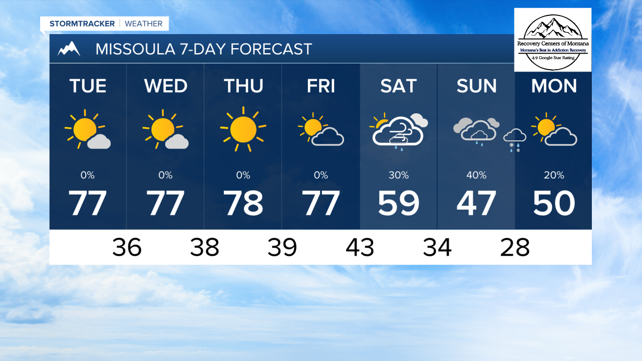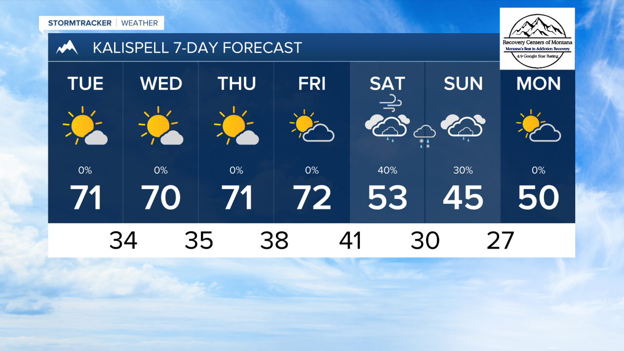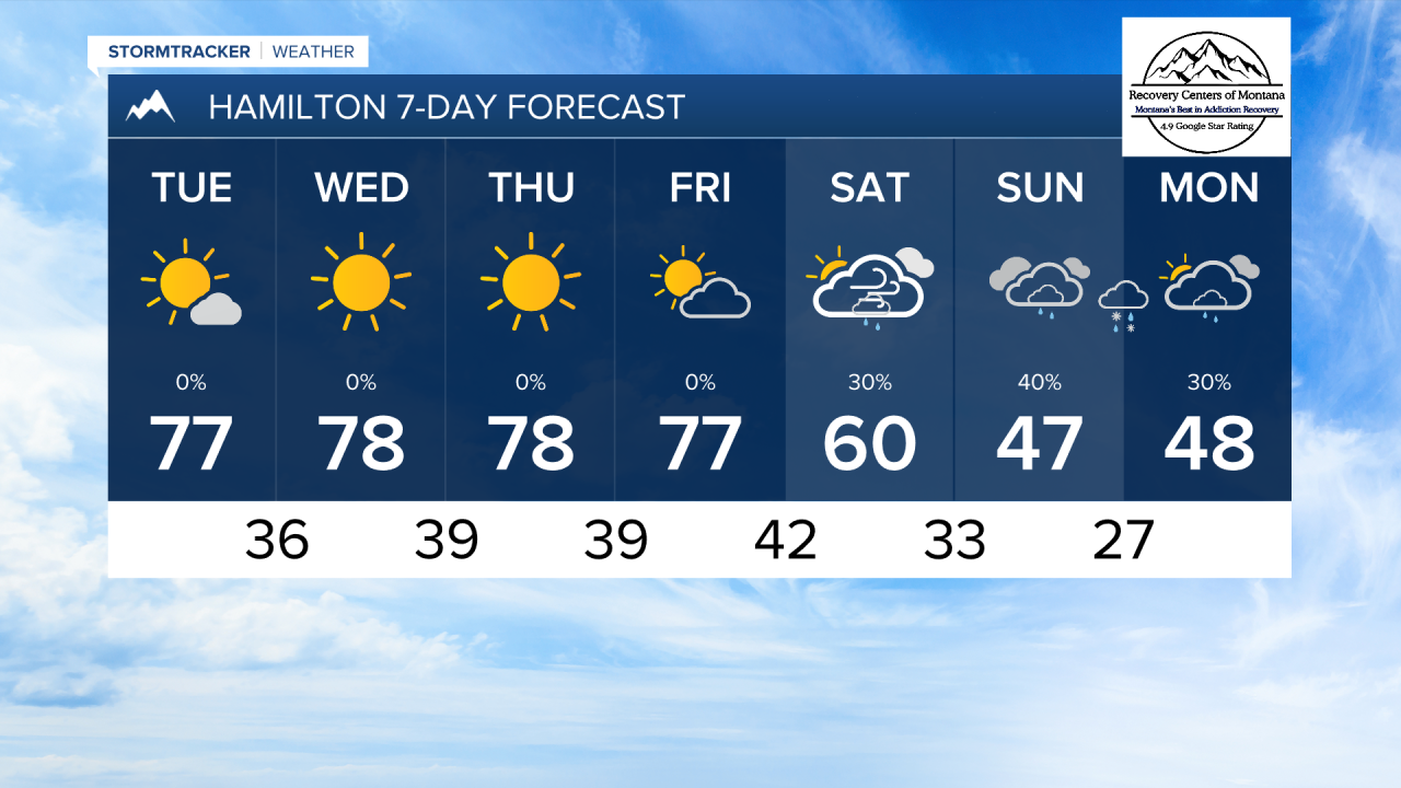


MISSOULA — High temperatures reached the low 80s through the Bitterroot, Missoula, and Mission Valleys on Monday. This will likely be the warmest it gets through the rest of the week, but still expecting high temperatures in the mid to upper 70s through Friday.
There will not be much active weather over the next few days. Only a few passing clouds will come through Friday.
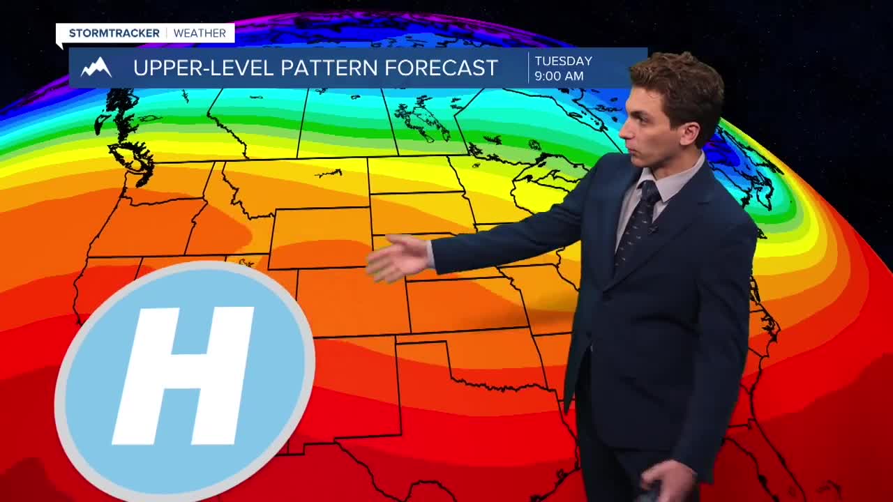
Saturday is when our weather will swing from one extreme to the other, when an upper level low and surface cold front moves through the state bringing much colder air and precipitation. This storm system has the potential to bring some lower elevation snow at times. We will continue to monitor this situation throughout the rest of the week.
If you are making any weekend plans, expect conditions outside to be cold and wet, with at least the mountains receiving some accumulating snow.
——————————————————————————————————————————
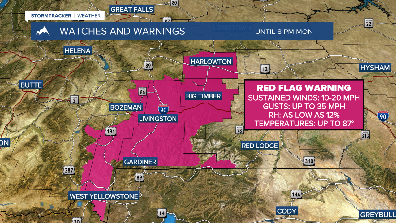
MONTANA WEATHER ALERTS:
——————————————————————————————————————————