MISSOULA — An avalanche warning remains in place for the St. Regis Basin in the Lookout Pass Zone, Kootenay/Cabinet MT Zone and the Selkirks/Cabinets and the St. Regis/Silver Basin to Lookout Pass Zone in Idaho. The avalanche warning remains in place through 7 am Thursday morning.
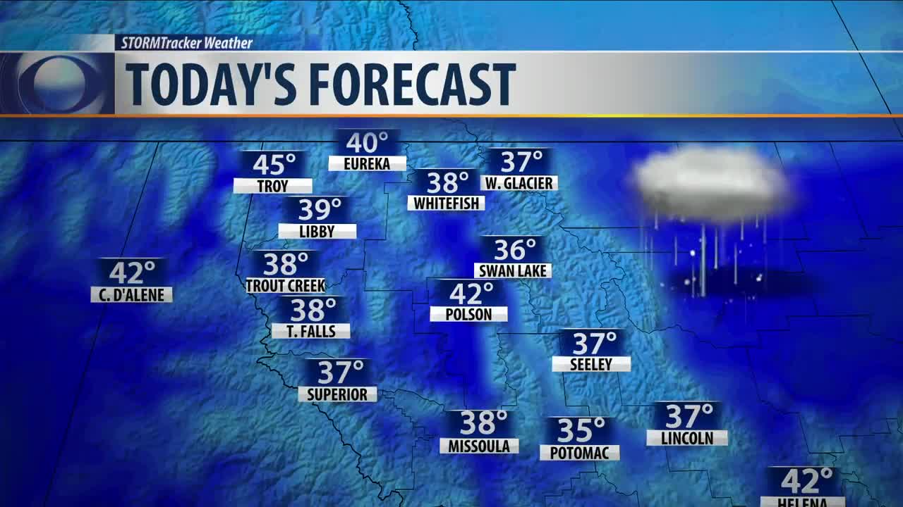
Active weather continues Wednesday with winter weather advisories in place due to freezing rain and light snow for the Missoula and Bitterroot Valleys, Lower Clark Fork Region, Seeley Lake Region and the West Glacier Region through 11 am.
A cold front will then move through the northern Rockies this afternoon. As it does, the winds will pick up along with the potential for snow bands to develop for all elevations. The mountains could see another 2"-to-8" while the valleys generally see a light dusting to 2". However, those that fall under the heavier snow bands could see locally higher amounts.
Another round of snow is then expected to move through Thursday afternoon and evening. This system is expected to bring light snow to all elevations with around 1"-to-3" possible. However, the Seeley and Swan Lake areas could see higher amounts.
But hold on, we're not done yet! Models continue to show another, stronger system moving in Friday night into Saturday. While specific details are still a bit unclear, the overall theme looks to be continued heavy mountain snow, especially along the Montana/Idaho border where another 1-to-2 feet will be possible.
There is also growing confidence for widespread accumulating valley snow especially for areas north of the I-90 corridor. At this time, snow for areas along and south of I-90 look to be more scattered and light. Again, we will continue to monitor this over the next several days.
Things remain interesting Sunday and continue to be challenging. One model brings the expected upcoming arctic air rushing into western Montana Sunday. If this scenario plays out it would generally bring an end to the snow. However, another model holds the arctic air off until Monday or Tuesday. This solution would keep widespread snow in the forecast through the beginning of next week with the bitter cold not arriving until mid week.
So either way you slice it, Winter looks to really get going here over the next several days. We will continue to bring updates as details become more clear.


