

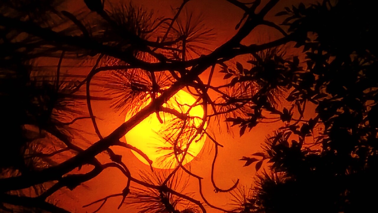


MISSOULA — Hot and smoky again Monday with highs in the 80s to low 90s. Winds will pick up a bit by the afternoon leading to elevated fire danger.
The strongest winds are expected along and east of the divide in southwest Montana. Areas near Butte and Dillon have the best chance to reach Red Flag Warning criteria today with gusts around 30 mph.
Watch Here:
By Wednesday, cooler air will start to move in as a more active weather pattern sets up. Initially showers and storms will remain along the Montana/Canadian border Wednesday afternoon before sliding south by Thursday.
Highs will be in the low to mid 80s Wednesday then 70s to low 80s Thursday and Friday.
Taking a quick look at the weekend, expect some smoky and hazy skies with pleasant temperatures as highs top out in the upper 70s to low 80s.
