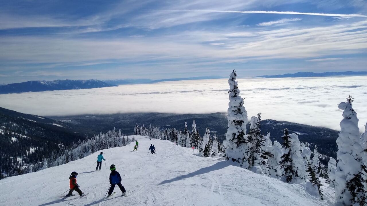


MISSOULA — A ridge of high pressure builds for most of the week, leading to the development of valley inversions and fog.
Watch the forecast:
High pressure with inversions this week
Temperatures remain chilly on Monday, topping out in the 20s to low 30s.
For the rest of the week, those who break free from the inversions during the day will see temperatures warm back into the upper 30s and low 40s, while those who can't break free see highs remain in the upper 20s to low 30s.
It looks like the ridge will start the breakdown by Friday, bringing another round of mountain snow along with valley rain, rain/snow or freezing rain.
Showers continue into the weekend with highs in the 30s to low 40s.
Watch the 24/7StormTrackerWeather stream below:
