



MISSOULA — One more day with mild and dry weather before big changes set up for the weekend.
Highs today top out in the upper 60s to mid 70s, however, winds will pick up this afternoon as the ridge breaks down and a cold front approaches. For those with plans to be on the water, be prepared for choppy lake conditions with gusts around 25-35 mph possible.
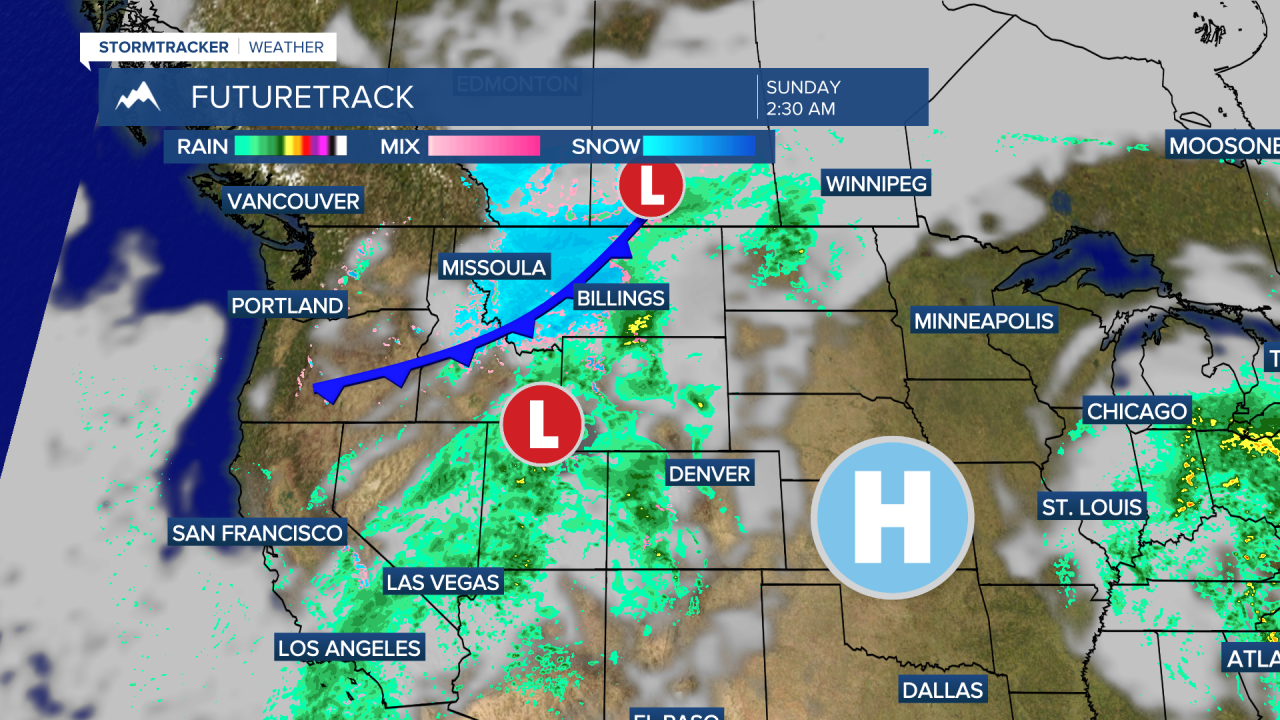
The cold front brings big changes for the weekend. Highs will be in the 40s and 50s Saturday then 40s on Sunday.
Rain and snow will be most widespread in southwest Montana, especially along and east of the Divide.
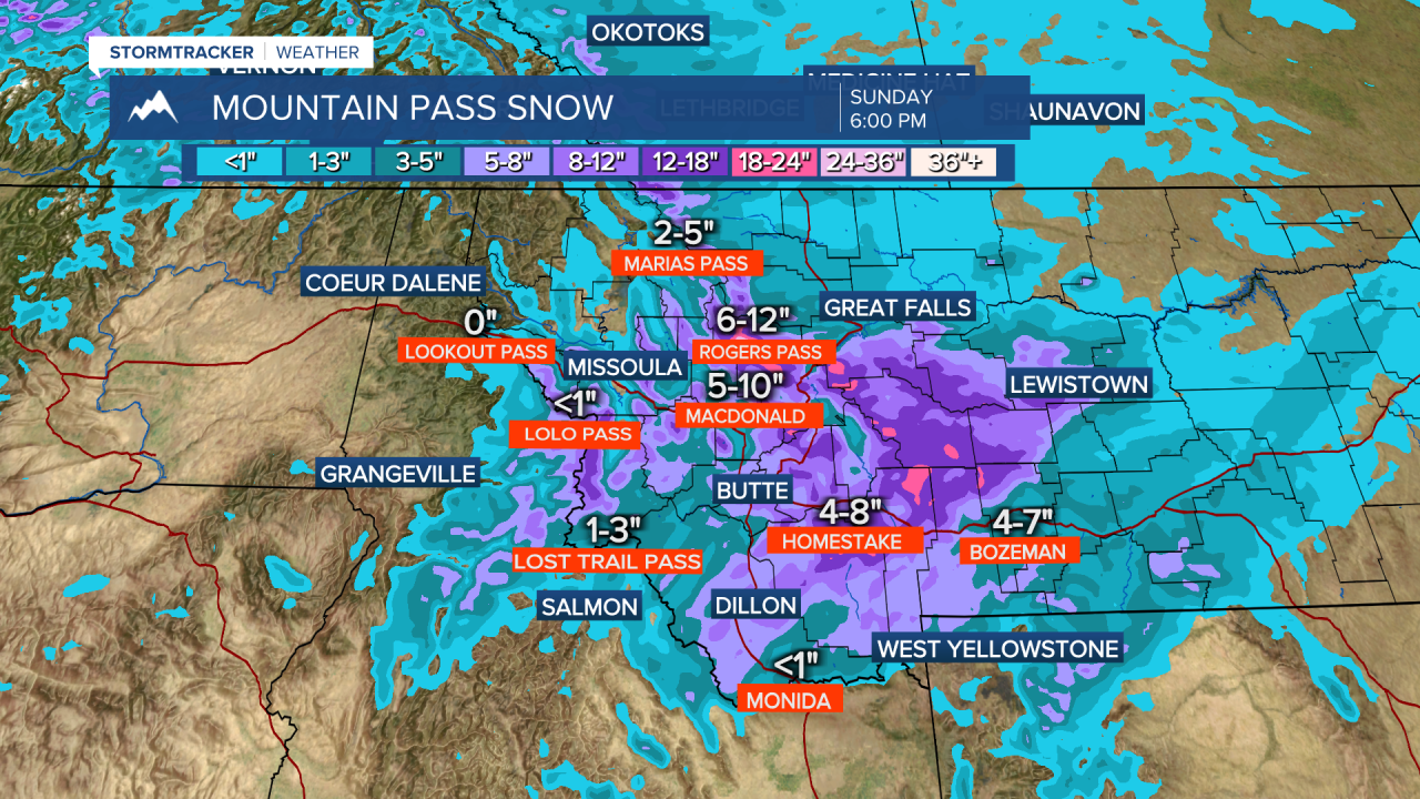
Snow in the mountains will be around 5"-to-12", mountain passes along the divide will see around 4"-to-12" of snow Saturday night into Sunday. Areas around Seeley Lake, Philipsburg, Anaconda, Deer Lodge and Butte could pick up 1"-to-3" of slushy wet snow. The Bitterroot Valley will have the best chance to see snow Saturday night into Sunday morning, very little snow accumulation is expected.
Cooler air sticks around into the start of next week with highs remaining in the 40s and 50s.
