


MISSOULA — In western Montana, I-90 will be the rough cut off point for who sees rain showers and thunderstorms and who does not.
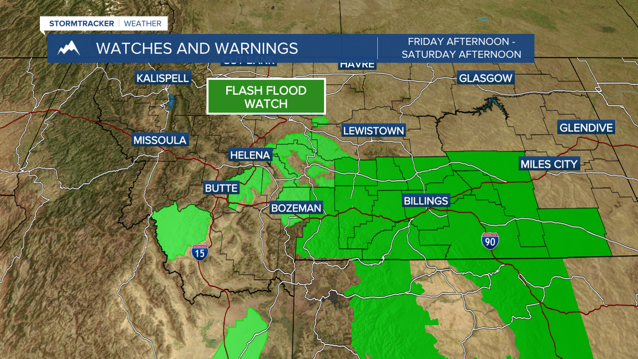
Widespread showers and storms will develop for locations south of I-90 Friday afternoon through Saturday afternoon. Some storms could bring heavy rain fall.
A Flash Flood Watch has been issued for portions of southern Montana, primarily impacting burn scars. The flash flood watch closest to us is for the Bob Cat Lakes and Sand Creek Burn Scars near Wisdom.
Lewis
Locations north of I-90 will see very little to no rain with this system.
High pressure quickly sets up for the entire region Sunday and continues into next week. Expect sunny skies and warm temperatures with highs in the 70s and 80s.
