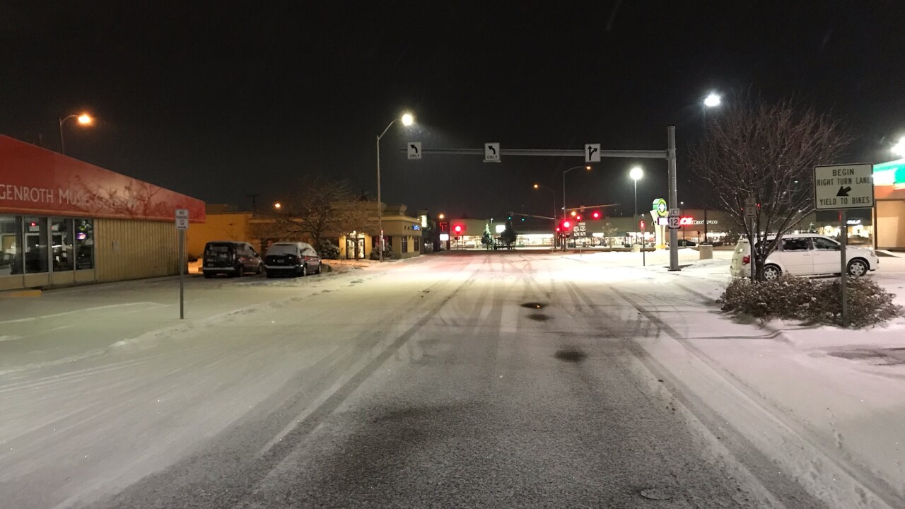


MISSOULA — Temperatures are around freezing this morning, however, warmer air aloft is leading to precipitation falling as rain or a rain/snow mix. This means freezing rain, icy roads and black ice will be possible for that morning commute.
It does look like we will get some clearing by the afternoon with some sunshine peaking through the clouds and highs in the upper 30s to low 40s.
We'll see another round of light mountain snow along with valley rain/snow Tuesday as highs again top out in the upper 30s and low 40s.
Looking at Christmas eve and Christmas Day, models show a mostly dry set up on both days with highs running around 8-15 above normal remaining in the 30s and 40s.
Taking a quick look at the end of the week, rain and snow returns on Friday as a cold front approaches.
Behind the front, temperatures will cool a bit for our upcoming weekend with highs in the low to mid 30s on Saturday and Sunday.
