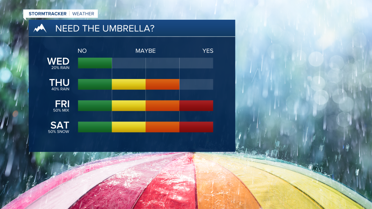
MISSOULA — It's another round of spring-like weather today, but changes to our pleasant weather are quickly approaching.
Today will be just slightly cooler than yesterday, with increasing cloud coverage.
Bigger changes will be felt closer to Thursday, as precipitation arrives, and Friday, when temperatures will start to drop.
Precipitation will come from a shortwave spinning in the west, while the cold front will come from the northeast in Canada.
These two features will work together to create our slight return to winter.
Most of the wet weather will occur overnight or in the early morning hours even through the weekend.
As for road conditions, mountain passes will be hit hardest, especially in Northwest Montana (Marias, Logan, and Rogers passes).
Valleys will likely see more road impacts on/off during the Friday through Sunday period.
Tomorrow, road impacts will be limited to the effects of light rain showers.
Stay tuned for more details on snow totals — things continue to change and the forecast models will be clearer the closer we get to Friday.


