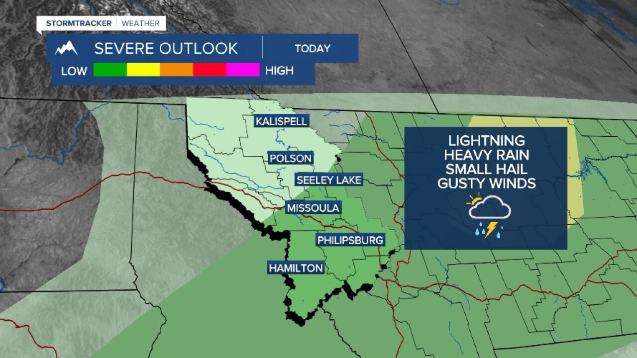


MISSOULA — Another hot day around Western Montana with highs in the 80s to low 90s. Factor that in with a push of monsoon moisture from the southwest and you get scattered thunderstorms. Some storms will be capable of producing heavy rain, gusty winds and hail.
We'll be mostly dry on Thursday; however, another round of thunderstorms will be possible in the southern Bitterroot Valley and east across the divide. Highs will be in the mid to upper 80s.
Looking at Friday, a big day! 4th of July and the kickoff to the Zoo Town Music Festival.
Whatever your Friday may hold, models are showing a decent shot at rain and the potential for heavy rain as well.
Showers will start across southwest Montana Friday morning. Then, more widespread showers and storms will develop by the afternoon and evening.
For those with outdoor plans, be prepared for some rain and even heavy rain by late afternoon and evening.
Showers and storms will continue overnight Friday into Saturday morning, with highs in the 70s Saturday.
Looking at next week, models are showing an extended hot and dry weather pattern setting up with highs back in the 90s by Tuesday.
Watch the 24/7 StormTracker Weather stream below:
