

MISSOULA — After a cool and wet start to the week, high pressure returns to end the week and continues into the weekend.
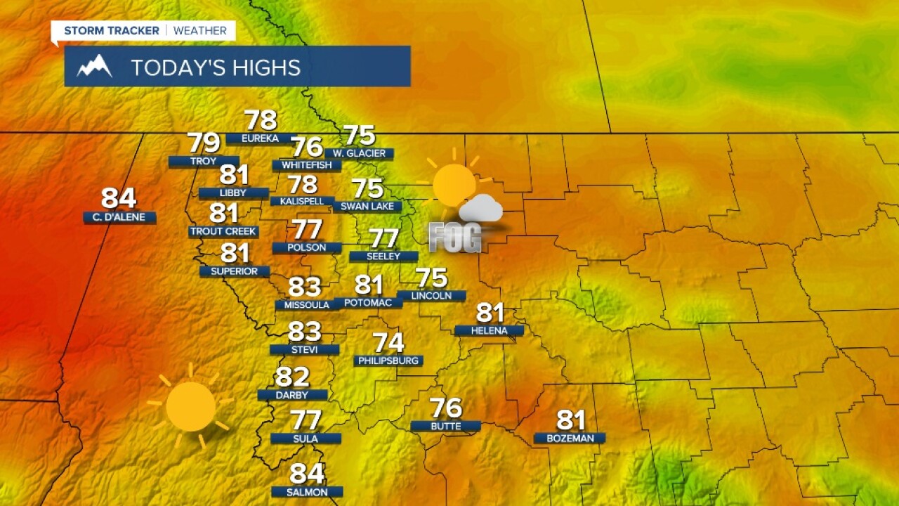
Due to the recent rain then clearing skies, valley fog will be possible across northwest Montana to start your Wednesday.
Temperatures will be back in the upper 70s to low 80s Wednesday and 80s to low 90s Thursday and Friday.
For the weekend, temperatures stay steady in the mid to upper 80s. Models are pointing at a a few thunderstorm opportunities with the best chance coming Sunday afternoon across west-central and southwest Montana.
Temperatures remain in the 80s to low 90s into the start of next week before another round of showers and storms roll in by mid week.
