



MISSOULA — The warmest day of the week is today with highs reaching the mid 70s to low 80s by the afternoon.
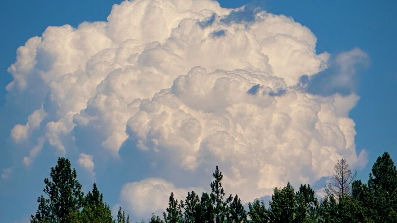
Our next weather system will then bring scattered showers and storms to locations south of I-90 Thursday afternoon. These storms will track north Thursday night into Friday. The storms are only expected to track as far north as roughly Thompson Falls along the MT/ID border, Polson in the Mission Valley and Condon in the Seeley/Swan Valley. Locations north of this line will stay mostly dry to end the week.
Scattered showers linger for the same locations Saturday before another ridge of high pressure brings warm and sunny weather for all of western Montana into next week.
Highs will be in the upper 60s to mid 70s through the weekend with 70 to low 80s by the start of next week.
