

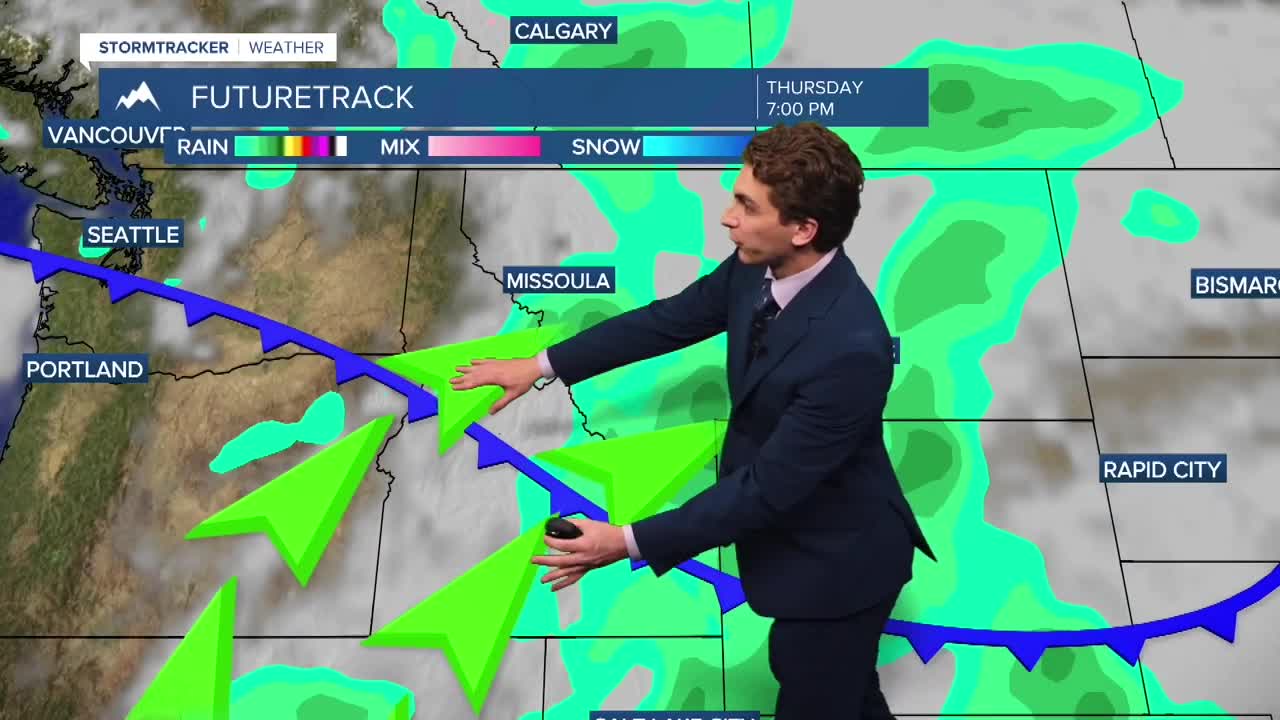


MISSOULA — Rain and thunderstorms are finally returning to parts of the state this afternoon. Most of the showers and thunderstorms that form west of the Continental Divide on Wednesday will be dry, outside of directly under stronger thunderstorm cores. The best chance so see active weather is in northwest Montana, closer to the Canadian border.
A cold front from the north will push through western Montana tonight into Thursday. This will be accompanied by a brief period of gusty winds, with maximum gusts reaching around 40 MPH. A Wind Advisory has been issued for Flathead Lake and the Flathead and Mission Valleys until midnight.
Isolated to scattered thunderstorms will return to the forecast daily from today through the middle of next week.
The cold front will also assist in clearing some of the smoke out. Air qualioty will not be perfect, but it will be much better than earlier this week.
Temperatures will drop to slightly below normal through the rest of the week. Highs will reach the 70s and low 80s, while lows will dip to the 40s and low 50s.
——————————————————————————————————————————
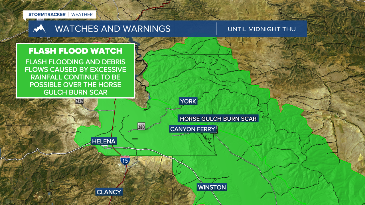
MONTANA WEATHER ALERTS:


——————————————————————————————————————————


