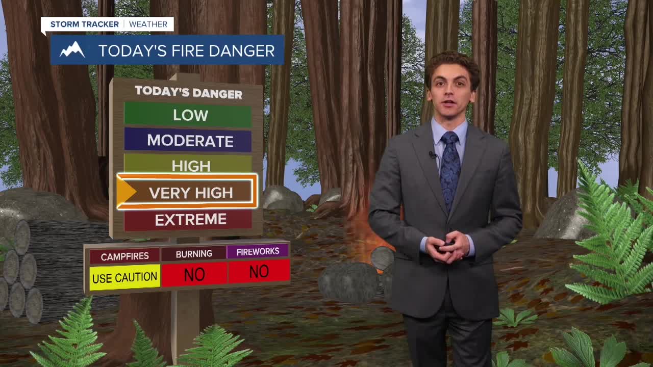


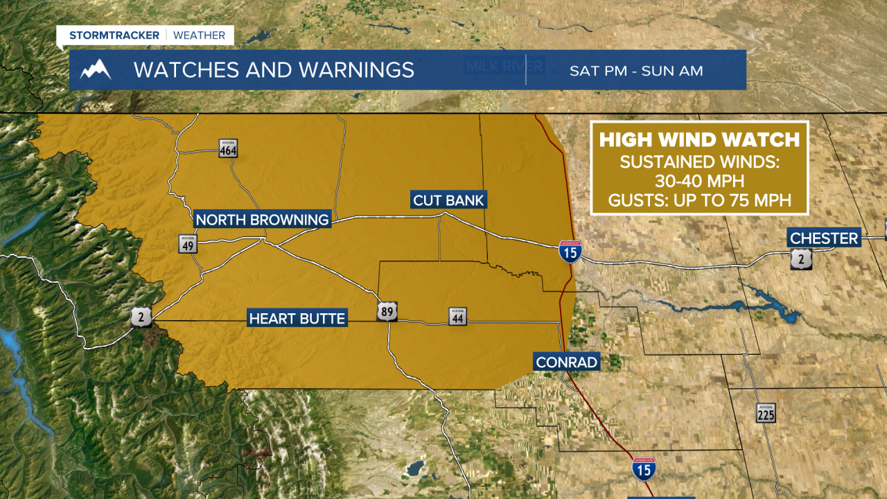
MISSOULA — Strong winds are expected to pick up this weekend associated with a cold front moving through western Montana. This will bring the fire weather to critical levels once again.
Several larger fires are burning in our area. To learn more about these fires and receive the latest updates, visit our Wildfire Watch page.
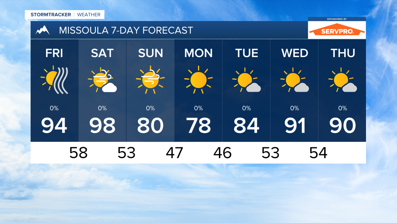
Temperatures will continue to run above normal over the next couple of days, with highs in the mid to upper 90s. Saturday will be the hottest day for most. The cold front bringing the strong winds will also be accompanied by cooler air. Sunday and Monday will feature highs in the 70s and low 80s. Overnight lows will dip into the 40s during this period.
The wind will get quite gusty. We are expecting maximum gusts in the valleys on Saturday to reach around 30 to 40 MPH. This will cause any new or existing wildfires to become more active and spread rapidly.
The cold front will be dry. If anything does form, it will only a few light showers over the mountains overnight on Saturday.
As the rest of the week has gone so far, air quality will continue to be impacted by wildfire smoke on Friday and Saturday. We may see some relief heading into next week after the cold front passes through.
——————————————————————————————————————————
MONTANA WEATHER ALERTS:


——————————————————————————————————————————