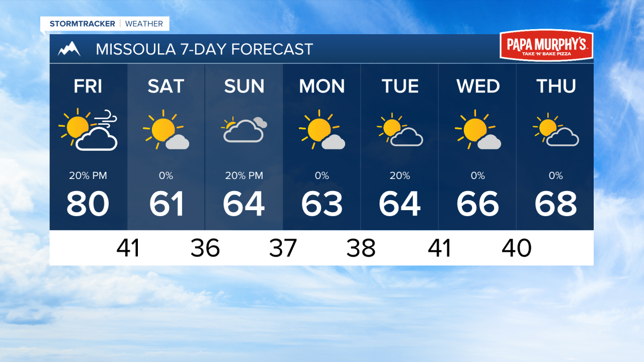
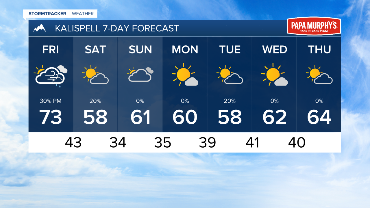
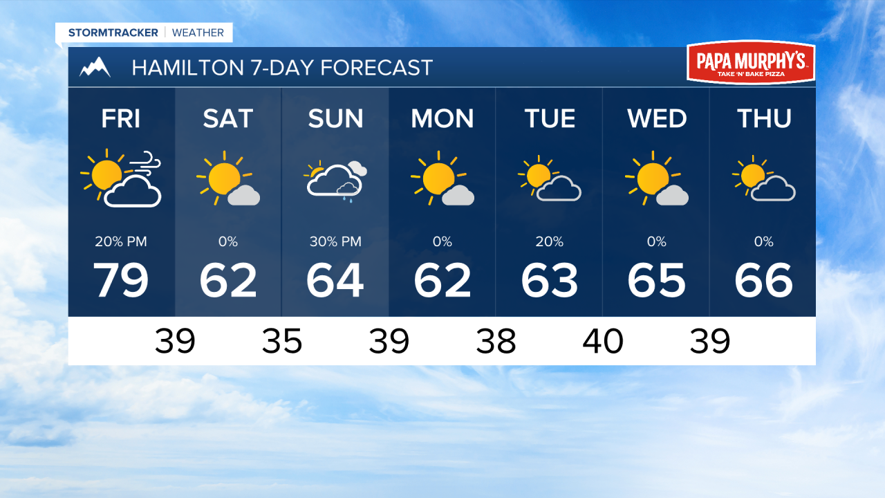
MISSOULA — A seasonal shift is coming tomorrow with a cold front move through western Montana. This will bring cooler air, light rain, and strong winds.
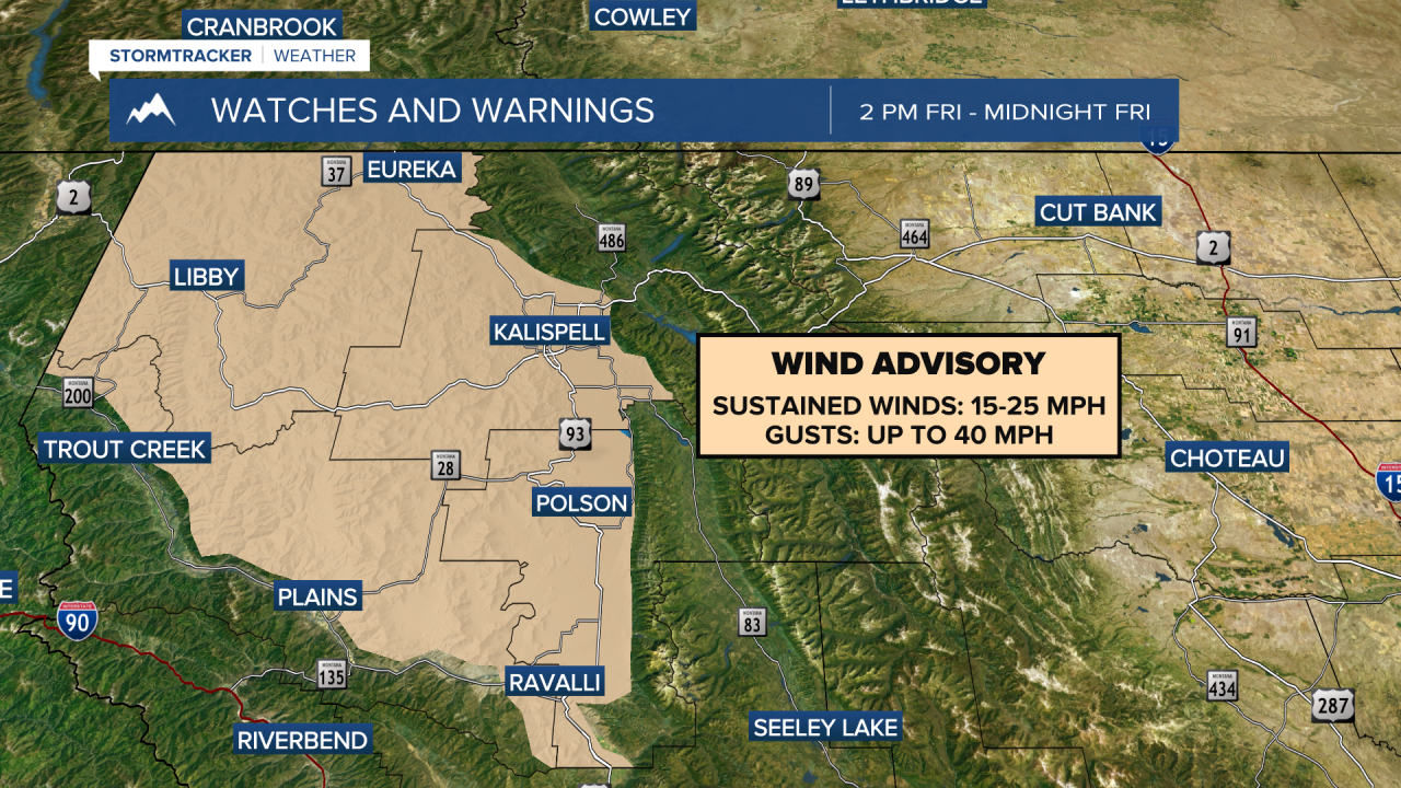
A Wind Advisory has been issued for most of northwest Montana on Friday afternoon and evening. Wind gusts will reach up to 40 MPH for most of the advised area. This will create choppy conditions on Flathead Lake and create hazardous travel conditions for high profile vehicles.
I do think we could record maximum winds gusts around 30-40 MPH through most of the Bitterroot and Missoula Valleys as well. The wind calms heading into Saturday afternoon
Rain will come in behind the frontal passage between the hours of 4 and 7 PM, mainly west of US-93. Rain accumulations could reach up to a quarter of an inch in the Libby area. Most of the Missoula area and the Bitterroot will remain dry.
Cooler air comes in behind this front. Highs will only reach the 50s and low 60s on Saturday. A few showers and high elevation snow is possible near the glacier area, while the rest of western Montana will be under mostly sunny skies.
Clouds will come in on Sunday with isolated afternoon showers in southwest Montana, rain accumulation will be very light.
Next week will feature more seasonable weather with highs in the 60s and lows in the 30s. There may be frost development in the mornings, especially for higher elevations.
——————————————————————————————————————————
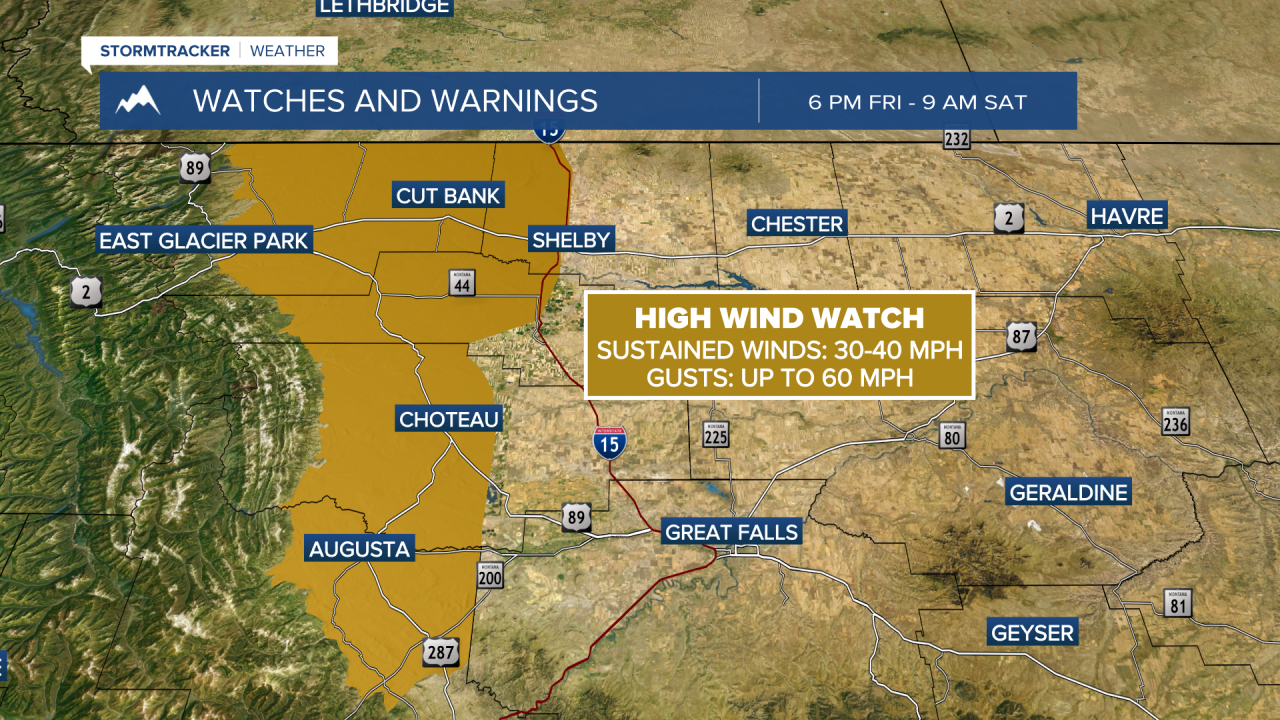
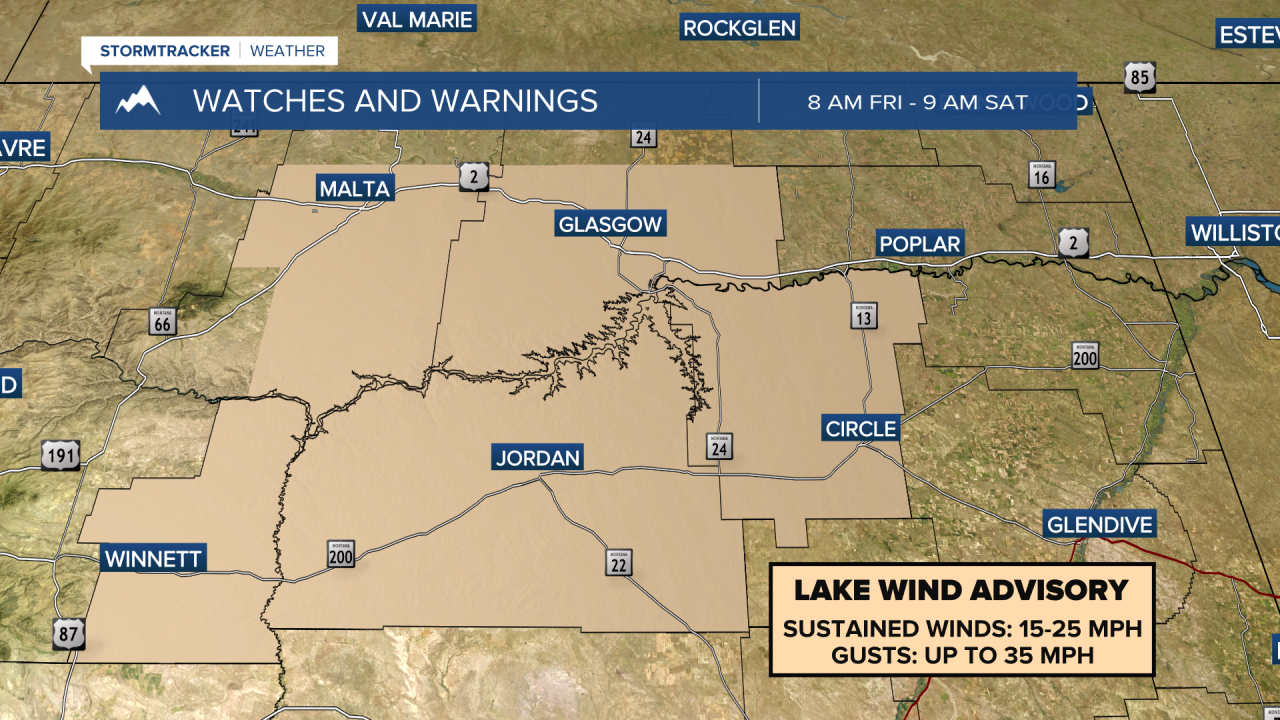
MONTANA WEATHER ALERTS:
——————————————————————————————————————————