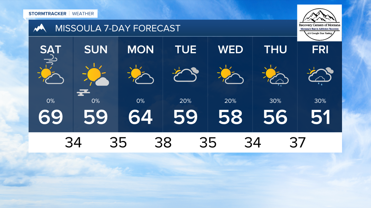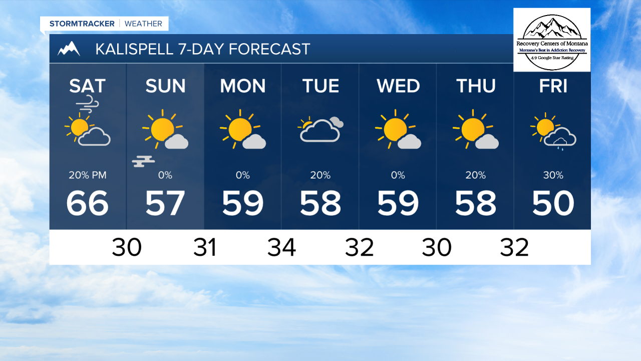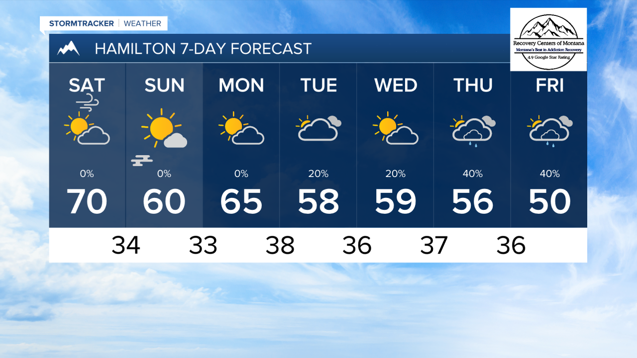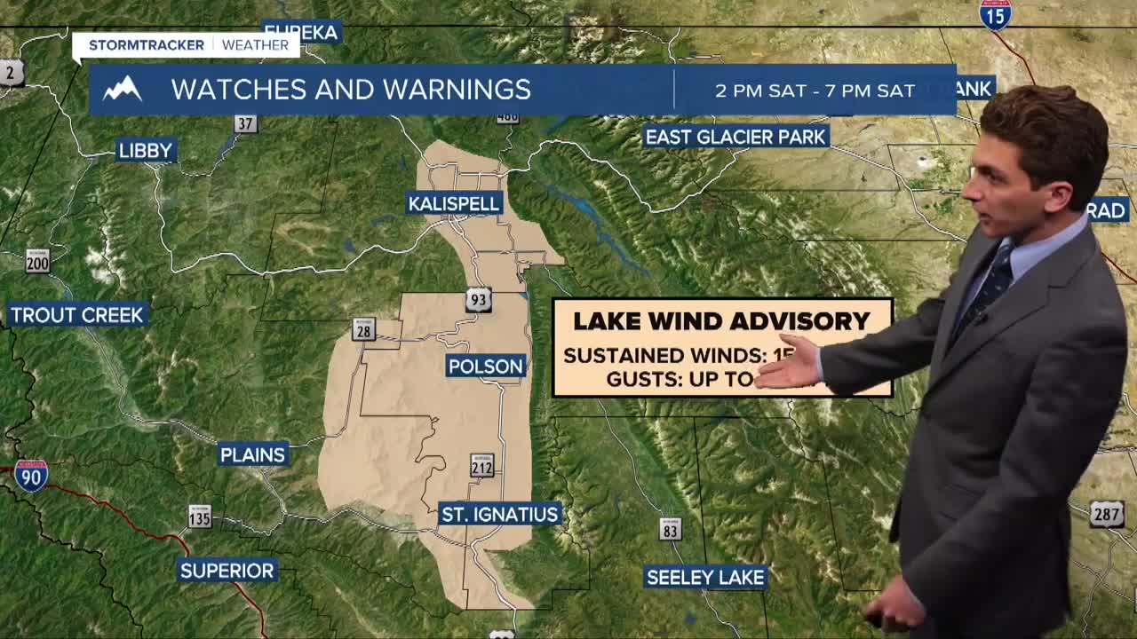


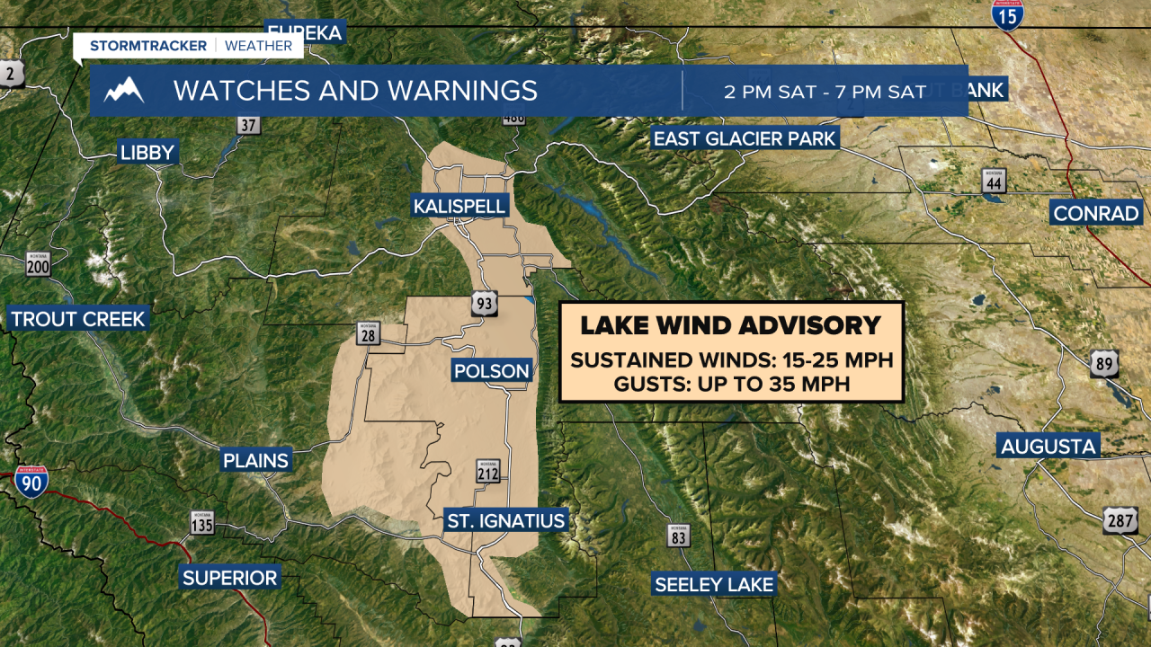
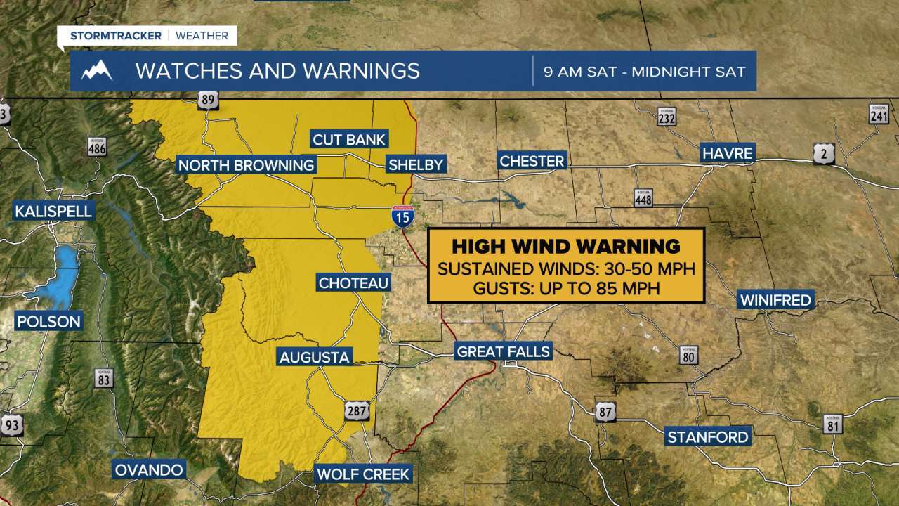
MISSOULA — After several days of morning fog, seasonable temperatures, and light wind, the weather gets a bit more active tomorrow afternoon with strong winds in lower elevations.
Gusts could reach near 30-40 MPH through most of the Flathead and Mission Valleys, as well as Missoula. The Bitterroot will likely have gusts around 20-30 MPH. The wind will pick up in the mountains first, then slowly mix down to the valley floors by the early to mid afternoon hours.
The wind will push high temperatures into the 60s and low 70s across our region.
A dry cold front will come through the area Saturday night into Sunday. Temperatures will be about 10 degrees cooler on Sunday, as well as the wind being much weaker. Valley fog may develop Sunday morning. It will burn off by the afternoon.
Next week will begin dry, but a cut-off low moves into the Great Basin region towards the middle and end of the week. This will bring scattered rain showers and mountain snow back to southwest Montana.
——————————————————————————————————————————
MONTANA WEATHER ALERTS:
——————————————————————————————————————————