


MISSOULA — After a wintry system left slick and snowy conditions for western Montana Monday night into this morning, we’ll see light, scattered snow tapering off this evening with a lull in the active weather pattern for Wednesday. While all other Winter Weather Advisories have expired, the Butte/Blackfoot Region's continues until 11pm.
Watch the forecast:
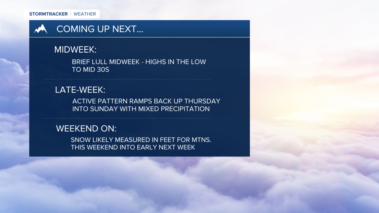
Expect patchy morning fog with mostly cloudy skies across Northwest Montana. It will be partly cloudy for west central and mostly sunny for Southwest Montana on Wednesday. Highs will top out around average in the upper 20s to mid-30s. A couple of snow showers could develop for extreme northwest Montana as a very weak disturbance brushes the area.
The active weather pattern ramps back up starting Thursday as a steady stream of Pacific moisture takes aim. Thursday showcases a complicated forecast with a lot of moving parts: warmer air advecting into the region looks to allow snow levels to rise during the afternoon, generally south of I-90, which would allow for a rain/snow mix, while Northwest Montana looks to hold onto colder air, allowing for all snow (perhaps even into Friday).
Bottom line: expect a decent amount of precip. in whatever form it falls! Mountains above 5,000’ will see minor to moderate travel impacts for certain. Those overnight lows at or below freezing for the valleys will likely allow for a re-freeze, so heads up on the roadways Friday morning!
In the end, warmer air should take over by Friday or Saturday (mid-30s) for everyone, with a wintry mix of precipitation expected (even pockets of freezing rain Saturday morning).
Highs rise a little more Saturday and Sunday into the mid-30s to low 40s with mountain snow and a valley rain/snow mix expected. That's good news for winter enthusiasts who enjoy backcountry recreation, though — this weekend into early next week could see snow accumulations measured in feet above 5,000’!
Watch the 24/7 StormTracker Weather stream below:
