

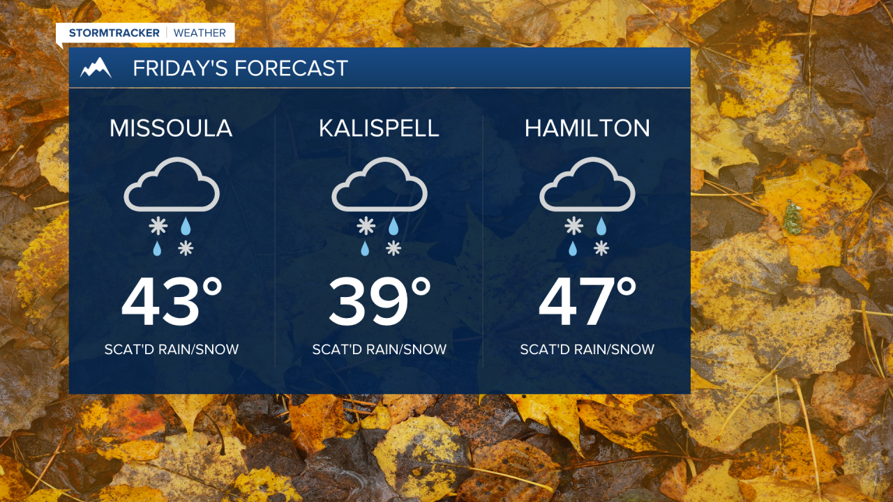
Widely scattered rain and snow showers continue to develop Thursday evening before transitioning to all snow by Friday morning. Minor accumulation will be possible in the valleys (more so in northwest Montana), so be mindful of slick spots for the morning commute. Winter Weather Advisories have been issued for this threat.

As temps rise throughout the day, we’ll see another transition to a rain/snow mix if not all valley rain with highs in the upper 30s to mid 40s. Area passes - especially along the MT/ID border - could see up to a half a foot of new snow as the precip type remains all snow.
Lingering snow showers will scoot out Saturday morning being replaced by building high pressure. We’ll see mostly cloudy skies with a breezy afternoon and highs in the upper 30s to low 40s.
Sunday will feature partly sunny skies with near normal highs in the low 40s… more of the same Monday with highs well into the 40s.
There’s indication we’ll see unsettled conditions building in next Tuesday or Wednesday, so we’ll keep you posted on those holiday travel plans.
