


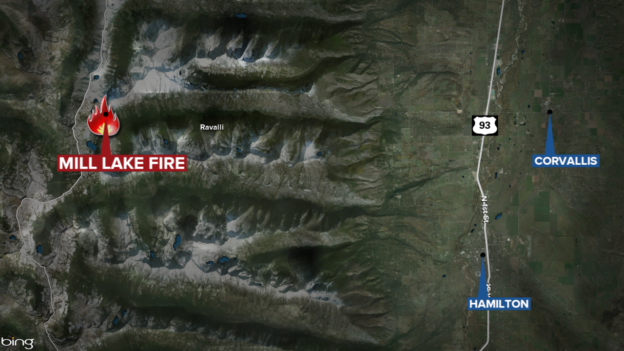
HAMILTON - A wildfire in the Bitterroot National Forest west of Corvallis has burned 1,589 acres.
The lightning-caused Mill Lake Fire is located on the north side of Mill Canyon and north of Mill Lake.
Fire managers report most of the growth in the last two days occurred on the north and west sides of the fire, pushed by winds.
The blaze is burning in very steep, rugged, and inaccessible terrain with large boulder fields, and a heavy component of dead-standing timber.
Due to the difficult terrain and no landing locations for a helicopter, the fire is not currently staffed.
Multiple helicopters have been conducting water bucket drops on the fire each day this week to slow the fire's spread.
Additionally, firefighters are continuing to clear brush and thin fuels along Sheafman Road from Cow Creek Trailhead to Sheafman Trailhead.
No structures or infrastructure are currently threatened by the Mill Lake Fire.
Closed trails
- Mill Creek, National Forest System Trail #364
- Cow Creek, National Forest System Trail #3
- Hauf Lake, National Forest System Trail #309
- Sears Lake, National Forest System Trail #312
- Sheafman Creek, National Forest System Trail #82
- A section of Fred Burr, National Forest System Trail #38 (from the west end of Fred Burr Reservoir to its intersection with Mill Creek Trail #364)
Closed Roads
- Cow Creek, National Forest System Road #438 (uphill of the gate at the Bitterroot NF boundary line
Fire Danger is currently “Extreme” on the Bitterroot National Forest and Stage 2 Fire Restrictions also remain in place.
This summer, there have been 59 wildfires on the Bitterroot National Forest; 10 human-caused and 49 lightning fires.
Multiple helicopters conducted water bucket drops on the fire Monday and were effective at checking and slowing the fire's spread.
Firefighters are currently thinning brush and fuels along Sheafman Road and digging handline to tie into the Sheafman Creek trail system.
Additional resources have been ordered including a 20-person hand crew and engines. No structures or infrastructure are currently threatened.
The difficult terrain, snag trees, and no landing locations for helicopters is limiting the ability to safely place firefighters directly on the fire.
The following trails and roads are currently closed for public safety
Forest Trails:
- Mill Creek #364
- Cow Creek #3
- Hauf Lake #309
- Sears Lake #312
- Sheafman Creek #82
- Fred Burr #38 (from the Fred Burr Reservoir to intersection with Mill Creek Trail).
Roads:
- Cow Creek Road #438
