

UPDATE: 2:57 p.m. - July 26, 2025
As of Saturday afternoon, the Observation Point Fire was recorded at 105 acres as of Saturday afternoon, but crews made headway with 25% total containment.
UPDATE: 12:11 p.m . - July 26, 2025
Ravalli County Sheriff Steve Holton announced on Saturday that all evacuation orders for the Observation Point Fire have been rescinded, now allowing residents to return home.
Evacuation warnings remain in effect. Roadblocks will stay on Lost Horse Road, with only residential and fire traffic permitted. Permits can be obtained at the roadblocks.
The Red Cross Evacuation Center in Hamilton is also being demobilized. We will continue to keep you updated as we learn more.
ORIGINAL STORY:
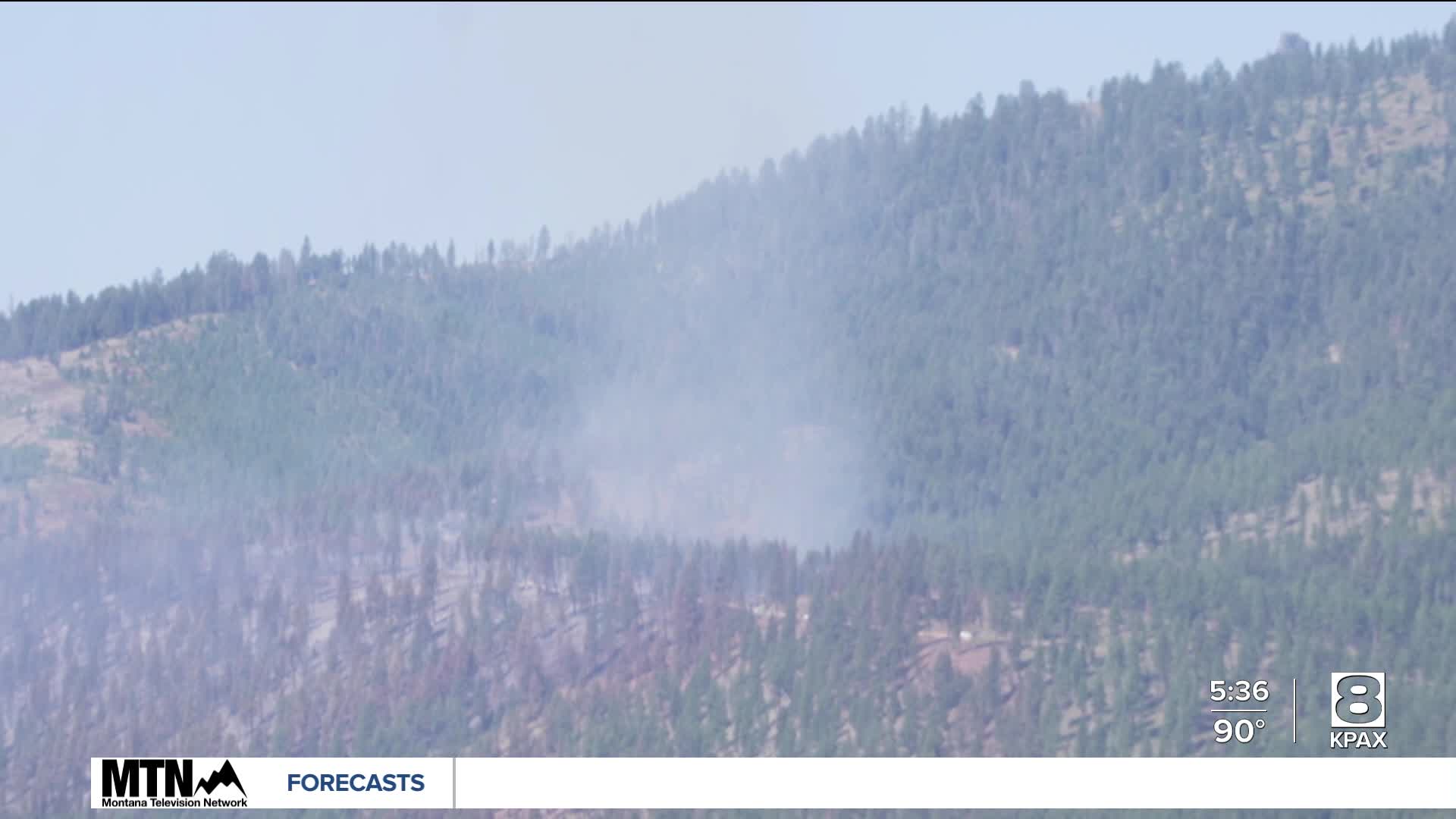
Fire managers are reporting little change on Friday at a Ravalli County wildfire that's forced evacuations.
The Observation Point Fire sparked on Thursday at around 1:30 p.m. and spread quickly, prompting the Ravalli County Sheriff's Office to order evacuations along Lost Horse Road.
The blaze is burning 95 acres in grass and timber near the Lost Horse Lodge between Hamilton and Darby.
Ravalli County Sheriff Steve Holton says the evacuation zones remain unchanged and will be reassessed on Friday afternoon and evening.
There are currently 80 people assigned to the wildfire, including firefighters from the U.S. Forest Service, the Hamilton Fire Department and numerous Bitterroot Valley fire departments.
The Bitterroot National Forest reports that aviation, including four large helicopters and three large air tankers, helped ground crews on Thursday, keeping the fire from reaching nearby homes.
Aviation, including four large helicopters and three large air tankers assisted ground crews and kept the fire from reaching nearby homes with continual bucket drops (water), and targeted deliveries of fire retardant.
The cause of the fire is currently undetermined.

A Red Cross Evacuation Center has been set up at the Assembly of God Church at 601 Main Street in Hamilton.
Sheriff Holton is thanking first responders as well as residents in the Lost Horse drainage for their cooperation and patience.
From the Ravalli County Sheriff's Office:
EVACUATION NOTICE: Residents on the north side of Lost Horse Road from approximately the 300 block west. This includes Silver Ridge Road, Ruff Road, and Moose Creek Road.
EVACUATION WARNING: Residents on the south side of Lost Horse Road from approximately the 300 block west. Also residents on Blue Jay Lane, Fleet Street, and the west/south side of Hayes Creek Road between the intersections of Camas Creek Loop and Blue Jay Lane.
An evacuation notice means residents are advised to leave the area immediately.
An evacuation warning means residents should prepare to evacuate immediately as fire conditions change. Residents with special needs, such as medical issues and residents with pets and livestock should consider evacuating during the warning stage.
Residents are asked to download the Ravalli County Sheriff's App for mobile devices for the earliest notifications and updates. People should also enroll in Ravalli County's Emergency Notification through Hyper-Reach.
Watch previous coverage: Observation Point Wildfire near Hamilton forces evacuations
Lost Horse Road (Forest Road #429) is currently closed to the public along with the Coyote Coulee/Lost Horse Observation Point Roads (#496, #496b, and #5620).
