


THOMPSON FALLS - The Sanders County Sheriff’s Office has placed the residents along Government Mountain and Timber Ridge roads into pre-evacuation status due to a wildfire. People are being asked to sign up for Sanders County Emergency Alerts at 406-203-0082 to stay informed of the status of emergency conditions.
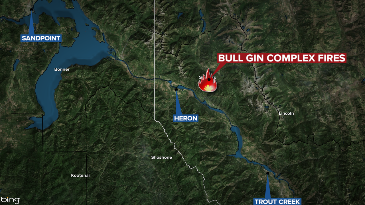
The Bull Gin Complex of fires in Sanders County have now burned 1,790 acres and are 0% contained, according to the Friday update. The Complex is comprised of the Government Fire, the Billiard Fire, and the Isabella Lake Fire.
- Government Fire: 791 acres (approximately 2 miles NE of Noxon)
- Billiard Fire: 771 acres (approximately 2 miles NE of Heron)
- Isabella Lake Fire: 228 acres (Cabinet Mountains Wilderness)
Government Fire
Fire managers report the south and east areas of fire were most active in Miller Gulch on Thursday. On the west side, handcrews, along with helicopter bucket support, held the fire at a dozer line north of the 150 road as the fire gently backed down towards Government Creek. Engine crews tested structure protection equipment installed around the structures along Government Mountain Road. Firefighters are working with landowners to put a fireline in place on the southern edge above private structures.
Billiard Fire
The fire saw little growth along the western edge on Thursday. Firefighters worked with heavy equipment to connect machine line and handline from Fatman Road to the ridgeline. Local Cabinet Ranger District employees and Grangeville Helitack crew members flew to the Star Peak Lookout and wrapped the building in heat-resistant material. Crews will work Friday to remove fuel in the Hillside Lane area and will be putting water systems in place.
Isabella Lake Fire
The fire is burning in the Cabinet Mountains Wilderness and remains unstaffed and monitored from the air. Minimal growth of approximately 21 acres was reported on Thursday.
Information regarding road and trail closures can be found on the Kootenai National Forest website.
An emergency declaration has been issued by the Sanders County Commission due to area wildfires.
